Willow Campground
Campground
Campground · 1.7 mi from the trail
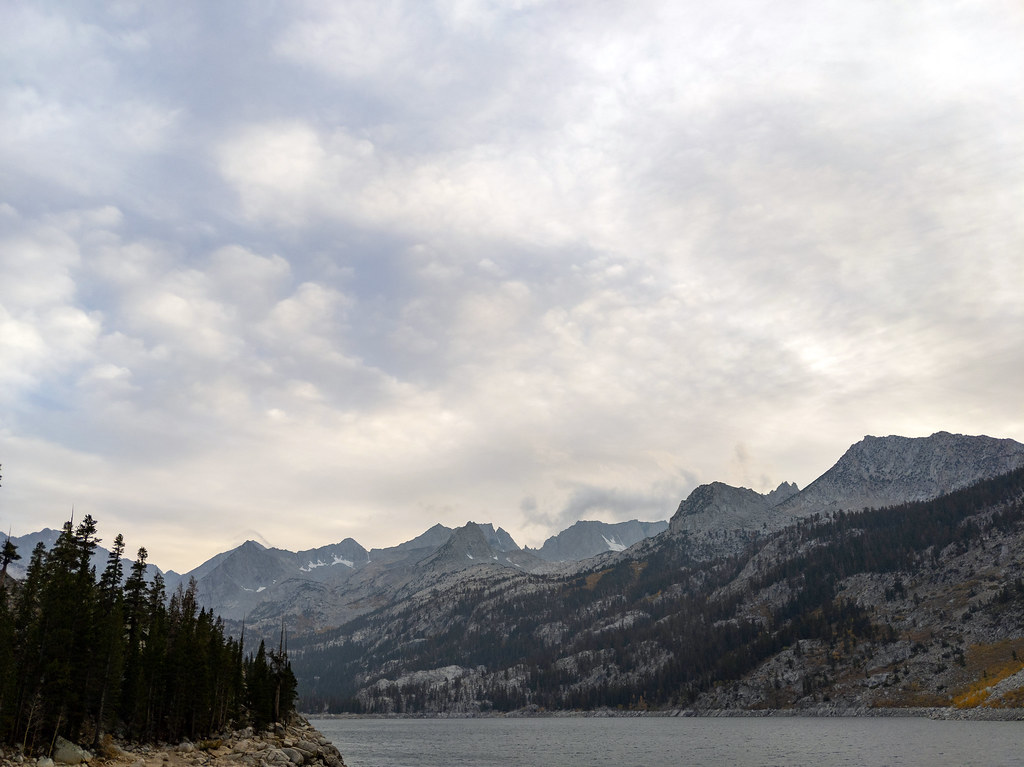 Photo: RuggyBearLA, CC BY 2.0 (via Flickr)
Caution at last check
Agency alerts are in effect for this area; weather is marginal · USFS, OpenWeather · checked 23 h ago
Alert in the area
The Forest Service lists 3 alerts for Inyo National Forest.
Help Halt Golden Mussel Invasion
Agency alert covering Inyo National Forest · USFS · Inyo National Forest
Ansel Adams and John Muir Wilderness Campfire Restrictions
Agency alert covering Inyo National Forest · Order 05-04-50-25-04 · USFS · Inyo National Forest
Golden Trout and Hoover Wilderness Campfire Restrictions
Agency alert covering Inyo National Forest · Order 05-04-50-25-05 · USFS · Inyo National Forest
As of · Source: USFS · Inyo National Forest. Agencies don't list every closure — check before you go.
Rainbow Pack Station Trail is a moderate out-and-back hike in California's Inyo National Forest, within the White Mountain Ranger District. The trail is about 3 miles long, with a total elevation gain of 1,725 feet, and it starts at roughly 9,800 feet. The high point on the route reaches about 10,000 feet, and the steepest stretch comes at about mile 1, where the grade reaches 19%. The trail is managed by the Forest Service, and the trip takes about two hours. The route is a short, compact climb, and the nearest town is Bishop, about 15 miles away. Mount Agassiz and Vagabond Peak both sit just 0.1 mile from the trail, making them easy to add to the day. The Wild Rose Buttress climbing area is about 0.7 mile away, and Willow Campground is about 1.7 miles off.
Willow Campground
Campground
Parchers Resort Cafe
Restaurant
Keough Hot Ditch
Hot spring
Places © OpenStreetMap contributors
More in BishopNot on Roamze yet. Their page has how to reach them.
 Mount AgassizHikingPhoto: mjhbower, CC BY-SA 2.0 (via Flickr)0.1 miVagabond PeakHikingPhoto: mjhbower, CC BY-SA 2.0 (via Flickr)0.1 mi
 Wild Rose ButtressRock climbingPhoto: inkknife_2000 (14 million views), CC BY-SA 2.0 (via Flickr)0.7 mi
 Hurd LakeRock climbingPhoto: daveynin from United States, CC BY 2.0 (via Wikimedia Commons)1 mi
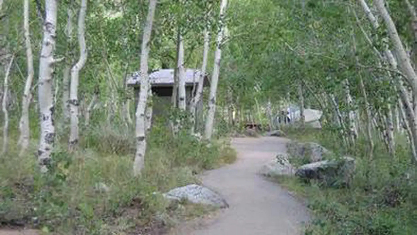 Table MountainRiver fishing2.6 mi
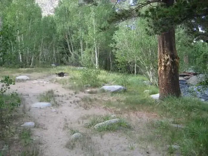 Table Mountain (inyo)CampingPhoto: Recreation.gov (RIDB) / public domain2.6 mi
Source: Roamze catalog (indexable pages within 10 miles, PostGIS distance)
Vagabond PeakHiking · Next doorPhoto: mjhbower, CC BY-SA 2.0 (via Flickr) Treasure LakesHiking · ~1 min drivePhoto: RuggyBearLA, CC BY 2.0 (via Flickr)
 Green Lake TrailHiking · ~1 min drivePhoto: RuggyBearLA, CC BY 2.0 (via Flickr)
 Mary Louise LakeHiking · ~2 min drivePhoto: Moo.The.Cow, CC BY 2.0 (via Flickr)CloudripperHiking · Next doorPhoto: RuggyBearLA, CC BY 2.0 (via Flickr)BAKER SUMMITHiking · ~1 min drivePhoto: RuggyBearLA, CC BY 2.0 (via Flickr)
 TYEE LAKESHiking · ~2 min drivePhoto: inkknife_2000 (14 million views), CC BY-SA 2.0 (via Flickr)
 Donkey LakesHiking · ~6 min drivePhoto: mjhbower, CC BY-SA 4.0 (via Wikimedia Commons)Aperture PeakHiking · Next doorPhoto: RuggyBearLA, CC BY 2.0 (via Flickr)
 Bishop PassHiking · ~5 min drivePhoto: feverblue — CC BY-SA 2.0 (via Flickr)
Map and trail data © OpenStreetMap contributors

