Willow Campground
Campground
Campground · 2.6 mi from the trail
 Photo: Moo.The.Cow, CC BY 2.0 (via Flickr)
Alert in the area
The Forest Service lists 3 alerts for Inyo National Forest.
Help Halt Golden Mussel Invasion
Agency alert covering Inyo National Forest · USFS · Inyo National Forest
Ansel Adams and John Muir Wilderness Campfire Restrictions
Agency alert covering Inyo National Forest · Order 05-04-50-25-04 · USFS · Inyo National Forest
Golden Trout and Hoover Wilderness Campfire Restrictions
Agency alert covering Inyo National Forest · Order 05-04-50-25-05 · USFS · Inyo National Forest
As of · Source: USFS · Inyo National Forest. Agencies don't list every closure — check before you go.
Mary Louise Lake is an easy out-and-back hike in California's John Muir Wilderness, within the White Mountain Ranger District of Inyo National Forest. The route is about a mile long, with a total elevation gain of roughly 213 feet, from a low point of about 10,371 feet to a high of about 10,606 feet. The Forest Service manages the surrounding land, and the trail's natural surface makes it a straightforward walk. Horses are allowed, and the trail is not accessible. Bikes are not permitted. The trip is open year-round, so it works for a quick outing in any season. Several other destinations sit close by. Hurd Lake, a climbing area, is about 0.2 miles away. Treasure Lakes and Mount Agassiz are both within about a mile. Willow Campground, about 2.6 miles off, offers a place to stay overnight.
Willow Campground
Campground
Parchers Resort Cafe
Restaurant
Keough Hot Ditch
Hot spring
Places © OpenStreetMap contributors
More in BishopNot on Roamze yet. Their page has how to reach them.
 Hurd LakeRock climbingPhoto: daveynin from United States, CC BY 2.0 (via Wikimedia Commons)0.2 mi
 Treasure LakesHikingPhoto: RuggyBearLA, CC BY 2.0 (via Flickr)0.5 mi
 Mount AgassizHikingPhoto: mjhbower, CC BY-SA 2.0 (via Flickr)1 mi
 Wild Rose ButtressRock climbingPhoto: inkknife_2000 (14 million views), CC BY-SA 2.0 (via Flickr)1.7 mi
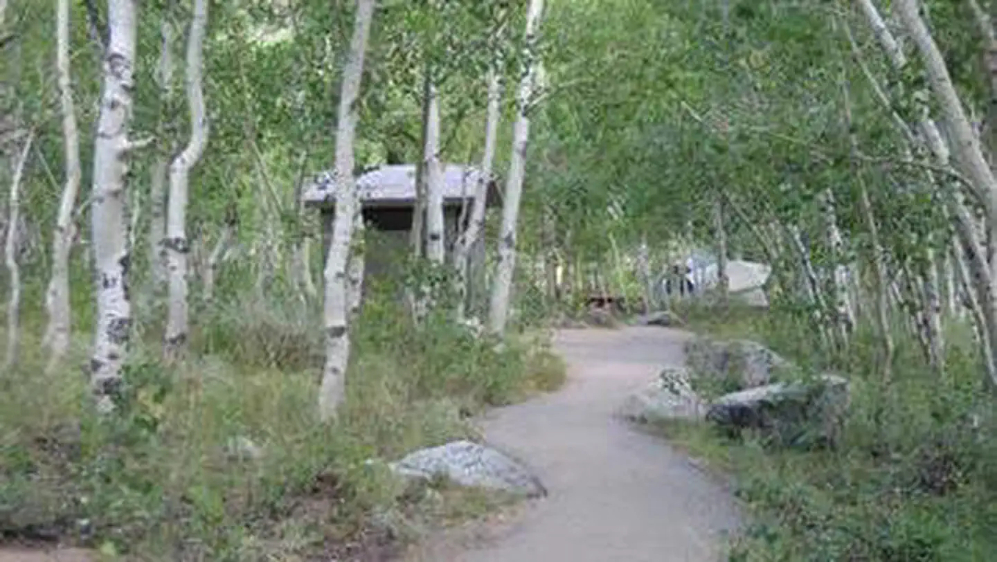 Table MountainRiver fishing3.6 mi
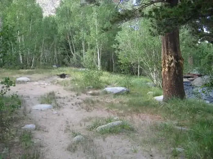 Table Mountain (inyo)CampingPhoto: Recreation.gov (RIDB) / public domain3.6 mi
Source: Roamze catalog (indexable pages within 10 miles, PostGIS distance)
Treasure LakesHiking · Next doorPhoto: RuggyBearLA, CC BY 2.0 (via Flickr) Gendarme PeakHiking · ~2 min drivePhoto: RuggyBearLA, CC BY 2.0 (via Flickr)
 Green Lake TrailHiking · ~3 min drivePhoto: RuggyBearLA, CC BY 2.0 (via Flickr)
 Sixth Lake HikerHiking · ~6 min drivePhoto: David~O, CC BY 2.0 (via Flickr)
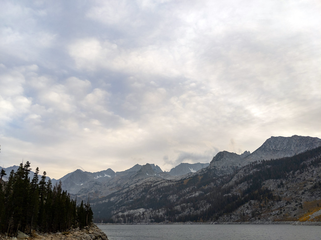 Rainbow Pack Station TrailHiking · ~2 min drivePhoto: RuggyBearLA, CC BY 2.0 (via Flickr)CloudripperHiking · ~2 min drivePhoto: RuggyBearLA, CC BY 2.0 (via Flickr)
 TYEE LAKESHiking · ~4 min drivePhoto: inkknife_2000 (14 million views), CC BY-SA 2.0 (via Flickr)
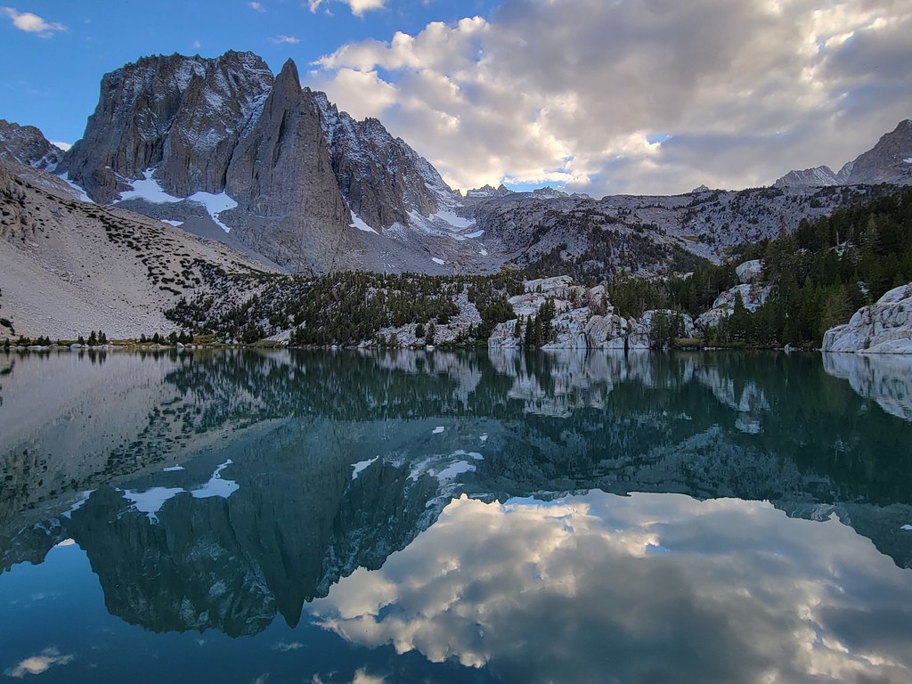 Fifth Lake SpurHiking · ~6 min drivePhoto: Moo.The.Cow, CC BY 2.0 (via Flickr)BAKER SUMMITHiking · ~3 min drivePhoto: RuggyBearLA, CC BY 2.0 (via Flickr)Vagabond PeakHiking · ~2 min drivePhoto: mjhbower, CC BY-SA 2.0 (via Flickr)

