Loading…

Free — you'll pick up right here.
Watch this trail
Sign up to watch it — saving subscribes you to gate, closure and report changes.
California
4.7 mi
Distance
1,075 ft
Gain
An agency closure order is in effect for this area; weather is good
2 factors · 2 sources
Newest 23 h ago · oldest 28 d
problem: Agency alerts
10 active alerts in Mountaintop Ranger District; most severe: Radford Fire Closure Area
USFS28 d ago
clear: Weather
Clouds, high 68°F / low 45°F, 0% precip — 96/100 for hike
OpenWeather23 h ago
Been out here in the last few days? One report keeps this current for everyone.
Why you'll love it
Cougar Crest
AI-suggested draft · review before you go
No permit or access details on file for this trail — check with the local land manager before you go.
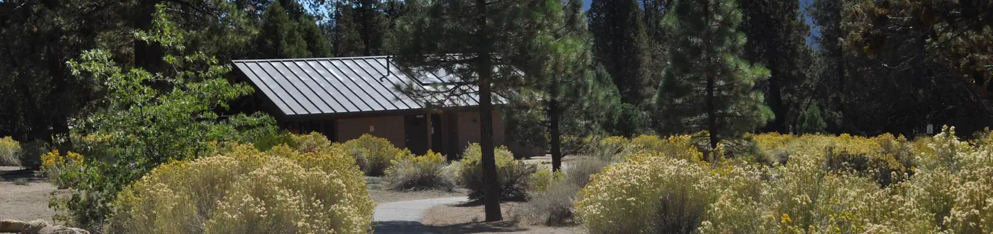
Cougar Crest is a moderately challenging trail that climbs through mixed conifer forest with steady elevation gain, offering rewarding views from the crest. This trail is popular for its accessible yet substantive workout, combining forest scenery with open ridge perspectives. The route provides a good balance of shade and exposure, making it a versatile choice for hikers seeking a solid half-day adventure.
Woodland
~2 min drive
Easy 3-mile woodland loop with gentle elevation gain near Woodland, CA.
Towne Trail
~3 min drive
Easy 2.2-mile trail with gentle elevation gain, perfect for beginners.
Skyline Trail
~6 min drive
Long-distance ridge trail with expansive views and moderate elevation gain.
Alpine Pedal Path
~3 min drive
Easy 5-mile Alpine cycling path with gentle 283 ft elevation gain.
Pine Knot Reroute
~4 min drive
Steep 2-mile alpine climb with 627 ft elevation gain in San Bernardino Mountains.
Siberia Creek
~8 min drive
Expert alpine trek with 7,378 ft gain; remote, exposed, and weather-dependent.
Going Green
~5 min drive
Moderate 5.8-mile hike with 557 ft elevation gain near Going Green, CA.
Bristlecone
~6 min drive
Easy 1.2-mile hike through bristlecone pine forest with minimal elevation gain.
Clark's Ranch
~12 min drive
Steep, high-elevation expert hike with extreme elevation gain near Clark's Ranch.
Fall Line
~6 min drive
Easy 4.4-mile trail with minimal elevation gain through California landscape.