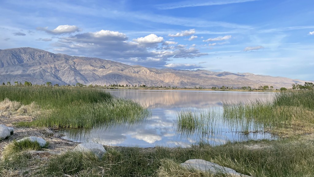
Cottonwood Canyon
- 0.6 mi
- round trip
- 573 ft
- climb
- 5,795 ft
- high point
- Out and back
- route
- Jun–Oct
- best months
Is COTTONWOOD CANYON open right now?
Alert in the area
The Forest Service lists 3 alerts for Inyo National Forest.
Help Halt Golden Mussel Invasion
Agency alert covering Inyo National Forest · USFS · Inyo National Forest
Ansel Adams and John Muir Wilderness Campfire Restrictions
Agency alert covering Inyo National Forest · Order 05-04-50-25-04 · USFS · Inyo National Forest
Golden Trout and Hoover Wilderness Campfire Restrictions
Agency alert covering Inyo National Forest · Order 05-04-50-25-05 · USFS · Inyo National Forest
As of · Source: USFS · Inyo National Forest. Agencies don't list every closure — check before you go.
Cottonwood Canyon is an easy out-and-back hike of about a mile and a quarter, with a total climb of roughly 570 feet from a starting elevation of about 5,390 feet to a high point of about 5,795 feet. The route is front-loaded, with the steepest stretch of about 17% at roughly half a mile in. It sits in the Mt. Whitney Ranger District of Inyo National Forest, managed by the Forest Service, and the trail lies about half a mile from the Cottonwood Canyon Trail. Summer is the most comfortable time to go. Typical averages from a nearby weather station at Lodgepole put July and August highs around 76°F, with lows in the mid-40s, while winter months bring highs in the upper 30s and regular snow days. That station sits about 940 feet above the canyon, so temperatures on the trail run somewhat warmer. The trip takes about half an hour. For more time on foot, Wormhole Canyon is about a mile and a half away and Little Cottonwood Creek about 2.9 miles off. Cottonwood Pass Walk In Campground and Cottonwood Lakes Walk In Campground are both about 4.6 miles away.
Local outfitters
- Big Willi Mountaineering Company11 mi away
Not on Roamze yet. Their page has how to reach them.
 Cottonwood Canyon TrailHikingPhoto: Eeek, CC BY 3.0 (via Wikimedia Commons)0.9 mi
- Wormhole CanyonHiking1.4 mi
- Little Cottonwood CreekHikingPhoto: Eeek, CC BY 3.0 (via Wikimedia Commons)2.9 mi
- Cottonwood Pass Walk In CampgroundCamping4.6 mi
- Cottonwood Lakes Walk In CampgroundCamping4.6 mi
 Lone Pine AreaRock climbingPhoto: Jesse Wagstaff, CC BY 2.0 (via Flickr)7.1 mi
- Tuttle Creek CampgroundCamping8.8 mi
 The Capricorn WallRock climbingPhoto: jfdervin, CC BY-SA 2.0 (via Flickr)9.8 mi
Source: Roamze catalog (indexable pages within 10 miles, PostGIS distance)
- Cottonwood Canyon TrailHiking · ~2 min drivePhoto: Eeek, CC BY 3.0 (via Wikimedia Commons)
 Mulkey Pass TrailHiking · ~7 min drivePhoto: danhurt, CC BY-SA 2.0 (via Flickr)
- Dutch Meadow SpurHiking · ~8 min drivePhoto: danhurt, CC BY-SA 2.0 (via Flickr)
 Little Cottonwood CreekHiking · ~10 min drivePhoto: kalestews, CC BY 2.0 (via Flickr)
- Mount NewcombHiking · ~8 min drivePhoto: danhurt, CC BY-SA 2.0 (via Flickr)
- Cottonwood LakesHiking · ~10 min drivePhoto: kalestews, CC BY 2.0 (via Flickr)
- Cottonwood Pass StockHiking · ~8 min drivePhoto: danhurt, CC BY-SA 2.0 (via Flickr)
 Mulkey Meadow - Templeton Meadow TrailHiking · ~11 min drivePhoto: danhurt, CC BY-SA 2.0 (via Flickr)
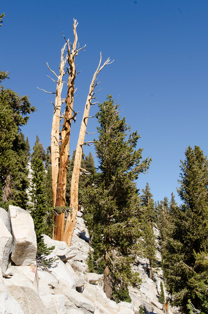 Cottonwood Pass TrailHiking · ~12 min drivePhoto: danhurt, CC BY-SA 2.0 (via Flickr)
- South Fork Cottonwood CreekHiking · ~12 min drivePhoto: Jesse Wagstaff, CC BY 2.0 (via Flickr)
Best time to visit COTTONWOOD CANYON
Best months: June–October. Best months have typical highs of 55–85 °F, lows of 30 °F or warmer (32 °F where the station doesn't record snow), at most one snowy day and no more than 12 wet days.
Jan
39° / 17°
9 wet · 8 snow
Feb
41° / 18°
10 wet · 8 snow
Mar
45° / 22°
10 wet · 8 snow
Apr
50° / 26°
8 wet · 5 snow
May
58° / 33°
5 wet · 2 snow
Jun
68° / 40°
3 wet
Jul
76° / 46°
2 wet
Aug
76° / 44°
2 wet
Sep
70° / 39°
2 wet
Oct
59° / 31°
4 wet · 1 snow
Nov
47° / 23°
6 wet · 4 snow
Dec
37° / 17°
8 wet · 6 snow
Typical high / low (°F) and days with rain or snow, 1991–2020. Measured at Lodgepole, CA, 37.6 mi away at 6,735 ft. The station sits about 900 ft higher than this place, so expect it a little warmer here. Source: NOAA NCEI U.S. Climate Normals 1991–2020.