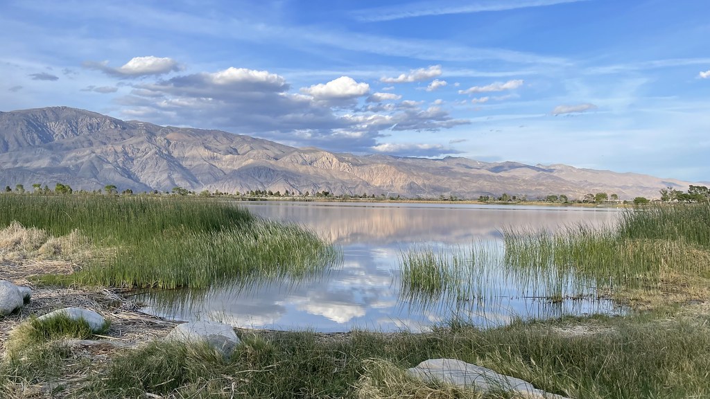
Wormhole Canyon
- 10.0 mi
- round trip
- 5,505 ft
- climb
- 10,035 ft
- high point
- Out and back
- route
Caution at last check
Agency alerts are in effect for this area; weather is good · USFS, OpenWeather · checked 21 h ago
Is Wormhole Canyon open right now?
Alert in the area
The Forest Service lists 3 alerts for Inyo National Forest.
Help Halt Golden Mussel Invasion
Agency alert covering Inyo National Forest · USFS · Inyo National Forest
Ansel Adams and John Muir Wilderness Campfire Restrictions
Agency alert covering Inyo National Forest · Order 05-04-50-25-04 · USFS · Inyo National Forest
Golden Trout and Hoover Wilderness Campfire Restrictions
Agency alert covering Inyo National Forest · Order 05-04-50-25-05 · USFS · Inyo National Forest
As of · Source: USFS · Inyo National Forest. Agencies don't list every closure — check before you go.
Wormhole Canyon is a hard hike in California's Golden Trout Wilderness, within the Mt. Whitney Ranger District of Inyo National Forest. The trail is an out-and-back that climbs from about 4,680 feet to roughly 10,035 feet, with a total elevation gain of about 5,505 feet over a 10-mile round trip. The Forest Service manages the land, and the route is natural-surface, not accessible, and open year-round. Horses are allowed on the trail, so riders can plan for that. The climb is steep, and the high point sits well above 10,000 feet, so expect a long, challenging day. Cottonwood Canyon lies about 1.4 miles away, and the Cottonwood Canyon Trail is about 2.3 miles off. For an overnight base, Cottonwood Pass Walk In Campground and Cottonwood Lakes Walk In Campground are both within about 6 miles.
Local outfitters
- Big Willi Mountaineering Company12 mi away
Not on Roamze yet. Their page has how to reach them.
- COTTONWOOD CANYONHiking1.4 mi
 Cottonwood Canyon TrailHikingPhoto: Eeek, CC BY 3.0 (via Wikimedia Commons)2.3 mi
- Little Cottonwood CreekHikingPhoto: Eeek, CC BY 3.0 (via Wikimedia Commons)4.3 mi
- Dutch Meadow to Mulkey MeadowHiking4.5 mi
- Last Chance TrailHiking4.6 mi
- Cottonwood Pass Walk In CampgroundCamping5.8 mi
- Cottonwood Lakes Walk In CampgroundCamping5.9 mi
 Lone Pine AreaRock climbingPhoto: Jesse Wagstaff, CC BY 2.0 (via Flickr)8.4 mi
Source: Roamze catalog (indexable pages within 10 miles, PostGIS distance)
- Cottonwood Canyon TrailHiking · ~4 min drivePhoto: Eeek, CC BY 3.0 (via Wikimedia Commons)
 Mulkey Pass TrailHiking · ~9 min drivePhoto: danhurt, CC BY-SA 2.0 (via Flickr)
- Dutch Meadow SpurHiking · ~9 min drivePhoto: danhurt, CC BY-SA 2.0 (via Flickr)
 Mulkey Meadow - Templeton Meadow TrailHiking · ~12 min drivePhoto: danhurt, CC BY-SA 2.0 (via Flickr)
- Mount NewcombHiking · ~10 min drivePhoto: danhurt, CC BY-SA 2.0 (via Flickr)
 Cottonwood LakesHiking · ~13 min drivePhoto: kalestews, CC BY 2.0 (via Flickr)
- Cottonwood Pass StockHiking · ~10 min drivePhoto: danhurt, CC BY-SA 2.0 (via Flickr)
- Little Cottonwood CreekHiking · ~12 min drivePhoto: kalestews, CC BY 2.0 (via Flickr)
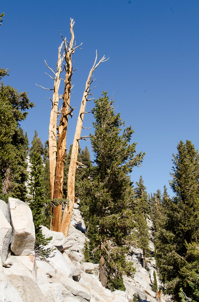 Cottonwood Pass TrailHiking · ~15 min drivePhoto: danhurt, CC BY-SA 2.0 (via Flickr)
- South Fork Cottonwood CreekHiking · ~15 min drivePhoto: Jesse Wagstaff, CC BY 2.0 (via Flickr)