Chamisal Mountain Trail
- 1.7 mi
- round trip
- 2,014 ft
- climb
- 2,456 ft
- high point
- Out and back
- route
- Feb–Jun, Oct–Nov
- best months
Caution today
Weather is marginal · OpenWeather · checked just now
Chamisal Mountain Trail is a 1.66-mile moderate hike in the King Range Wilderness, on land managed by the Bureau of Land Management's Arcata Field Office. The nearest town is Shelter Cove, about 3.3 miles away. The trail is an out-and-back that climbs from about 1,929 feet to roughly 2,456 feet, with a total gain of 2,014 feet over the round trip. That makes the one-way climb about 1,007 feet. Late spring and early fall are the most comfortable times to go. Typical averages from a nearby weather station in Covelo show May highs around 75°F and October highs around 76°F, while July and August average in the low 90s. That station sits well below the trail, so temperatures on the mountain run cooler. Nadelos Campground and Wailaki Campground are both within half a mile, and the Ocean View Trail and Hidden Valley Trail are close by for another outing.
- Nadelos CampgroundCamping0.3 mi
- Wailaki CampgroundCamping0.4 mi
- Ocean View TrailHiking0.7 mi
- Hidden Valley TrailHiking0.9 mi
- Chinquapin TrailHiking1.5 mi
- Tolkan CampgroundCamping4.9 mi
 Mattole RiverCanoeingPhoto: Ellin Beltz, Public domain (via Wikimedia Commons)5.6 mi
- Indian CreekCanoeing7.9 mi
Source: Roamze catalog (indexable pages within 10 miles, PostGIS distance)
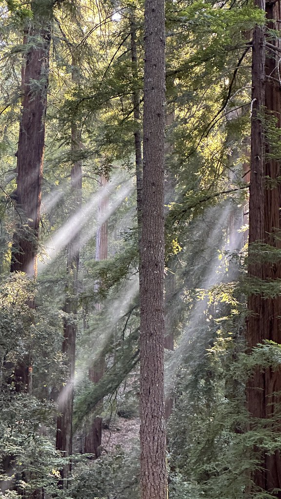 Durphy Creek TrailHiking · ~18 min drivePhoto: lamblukas, CC BY 2.0 (via Flickr)
 Maple Camp TrailHiking · ~19 min drivePhoto: MARELBU, CC BY 3.0 (via Wikimedia Commons)
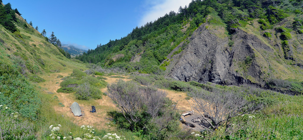 Cooskie Creek RouteHiking · ~34 min drivePhoto: Scrubhiker (USCdyer), CC BY 2.0 (via Flickr)
 Grasshopper TrailHiking · ~35 min drivePhoto: MARELBU, CC BY 3.0 (via Wikimedia Commons)
 Tan Oak Springs TrailHiking · ~20 min drivePhoto: MARELBU, CC BY 3.0 (via Wikimedia Commons)
- Woodland TrailHiking · ~20 min drivePhoto: MARELBU, CC BY 3.0 (via Wikimedia Commons)
- Pacific Rim TrailHiking · ~7 min drive
- Paradise Royale Loop TrailHiking · ~8 min drive
- Lightning TrailHiking · ~20 min drivePhoto: MARELBU, CC BY 3.0 (via Wikimedia Commons)
 Grove Interpretive TrailHiking · ~20 min drivePhoto: lamblukas, CC BY 2.0 (via Flickr)
Best time to visit Chamisal Mountain Trail
Best months: February–June and October–November. Best months have typical highs of 55–85 °F, lows of 30 °F or warmer (32 °F where the station doesn't record snow), at most one snowy day and no more than 12 wet days.
Jan
52° / 33°
13 wet
Feb
57° / 34°
12 wet
Mar
62° / 36°
11 wet
Apr
67° / 38°
9 wet
May
75° / 43°
6 wet
Jun
84° / 48°
2 wet
Jul
92° / 53°
1 wet
Aug
91° / 51°
0 wet
Sep
88° / 45°
1 wet
Oct
76° / 39°
5 wet
Nov
58° / 35°
11 wet
Dec
50° / 32°
14 wet
Typical high / low (°F) and days with rain or snow, 1991–2020. Measured at Covelo, CA, 43.1 mi away at 1,413 ft. The station sits about 1,000 ft lower than this place, so expect it a little cooler here. Source: NOAA NCEI U.S. Climate Normals 1991–2020.
Map and trail data © OpenStreetMap contributors
