Shelter Cove Boat Launch
- Jan–Dec
- best months
Shelter Cove Boat Launch is a boat launch in California's King Range National Conservation Area, managed by the Bureau of Land Management. It sits about 1.2 miles from the community of Shelter Cove, making it an easy stop for anyone already in town. The launch is a straightforward put-in for getting a boat onto the water. The weather station at Shelter Cove Aviation, just 0.7 miles away, records typical averages that run from highs near 58°F in January to about 70°F in September, with lows around 47 to 54°F year-round. That makes late summer and early fall the mildest stretch for time on the water. Several trails lie within a few miles, including Hidden Valley Trail and Ocean View Trail, both about 2.2 miles away, and Courtyard Trail at 2.6 miles. For an overnight stay, Nadelos Campground is about 3.2 miles from the launch.
- Managed by
- Bureau of Land Management
- Hidden Valley TrailHiking2.2 mi
- Ocean View TrailHiking2.2 mi
- Courtyard TrailHiking2.6 mi
- Chamisal Mountain TrailHiking2.9 mi
- Nadelos CampgroundCamping3.2 mi
- Wailaki CampgroundCamping3.3 mi
- Tolkan CampgroundCamping4 mi
 Mattole RiverCanoeingPhoto: Ellin Beltz, Public domain (via Wikimedia Commons)6.4 mi
Source: Roamze catalog (indexable pages within 10 miles, PostGIS distance)
- Mattole RiverCanoeing · ~11 min drivePhoto: Ellin Beltz, Public domain (via Wikimedia Commons)
 Usal CreekCanoeing · ~27 min drivePhoto: Thewellman, CC0 (via Wikimedia Commons)
 Bear RiverCanoeing · ~49 min drivePhoto: Thewellman, CC0 (via Wikimedia Commons)
 Ten Mile RiverCanoeing · ~1h 3m drivePhoto: David Eppstein, CC BY-SA 3.0 (via Wikimedia Commons)
 Mad RiverCanoeing · ~1h 10m drivePhoto: humboldthead, CC BY 2.0 (via Wikimedia Commons)
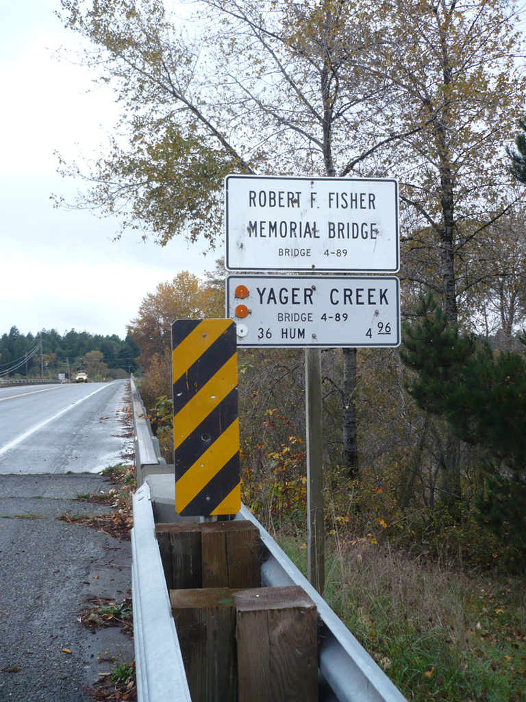 Yager CreekCanoeing · ~1h 4m drivePhoto: Ellin Beltz, Public domain (via Wikimedia Commons)
- Indian CreekCanoeing · ~18 min drive
- Sproul CreekCanoeing · ~19 min drive
- Redwood CreekCanoeing · ~20 min drive
- Jones CreekCanoeing · ~23 min drive
Best time to visit Shelter Cove Boat Launch
Best months: Year-round. Best months have typical highs of 55–85 °F, lows of 30 °F or warmer (32 °F where the station doesn't record snow), at most one snowy day and no more than 12 wet days.
Jan
58° / 47°
Feb
59° / 47°
Mar
61° / 47°
Apr
62° / 47°
May
65° / 49°
Jun
68° / 52°
Jul
68° / 53°
Aug
68° / 54°
Sep
70° / 54°
Oct
68° / 52°
Nov
62° / 49°
Dec
59° / 47°
Typical high / low (°F) and days with rain or snow, 1991–2020. Measured at Shelter Cove Aviation, CA, 0.7 mi away at 246 ft. This station doesn't record snowfall. Source: NOAA NCEI U.S. Climate Normals 1991–2020.
Map and trail data © OpenStreetMap contributors
