Cabin Gulch
- 2.6 mi
- round trip
- 1,330 ft
- climb
- 6,052 ft
- high point
- Out and back
- route
Is Cabin Gulch open right now?
Alert in the area
The Forest Service lists 2 alerts for Klamath National Forest.
Temporarily closure of approximately 3.5 miles of National Forest System Roads 47N01
Agency alert covering Klamath National Forest · Order 05-05-00-26-08 · USFS · Klamath National Forest
Grayback Road Repairs
Agency alert covering Klamath National Forest · USFS · Klamath National Forest
As of · Source: USFS · Klamath National Forest. Agencies don't list every closure — check before you go.
Cabin Gulch is a 2.6-mile out-and-back hike in the Marble Mountain Wilderness, part of the Salmon River Ranger District of Klamath National Forest in California. The trail rises from 4,708 feet to 6,052 feet, a climb of about 1,330 feet, and is rated moderate. The Forest Service manages the surrounding land. The route is a straightforward climb and descent, and its natural surface makes it a rugged outing. As it reaches its high point of about 6,050 feet, the trail stays within wilderness, which adds to the sense of remoteness. The most comfortable months for a visit are typically late spring and early fall, when typical averages from a nearby weather station run in the low to mid 60s. Summer and winter bring more extreme conditions. Paddlers can reach the Right Hand Fork North Fork Salmon River about 1.7 miles away, and Hayes Meadows offers another hike within about 2.7 miles. Shelly Fork and Right Hand Fork, both about 3.3 miles off, round out the options for hikers.
- Right Hand Fork North Fork Salmon RiverCanoeing1.7 mi
- Hayes MeadowsHiking2.7 mi
- Shelly ForkHiking3.3 mi
- Right Hand ForkHiking3.3 mi
- North Fork Salmon RiverCanoeing7.5 mi
- Marble MountainRock climbing7.6 mi
- Karst CragRock climbing8.3 mi
- Marble RimRock climbing8.7 mi
Source: Roamze catalog (indexable pages within 10 miles, PostGIS distance)
 Bull MeadowsHiking · ~7 min drivePhoto: Tom Hilton, CC BY 2.0 (via Flickr)
- Campbell LakeHiking · ~8 min drivePhoto: Tom Hilton, CC BY 2.0 (via Flickr)
 HaypressHiking · ~13 min drivePhoto: Calaina, CC BY-SA 3.0 (via Wikimedia Commons)
- North Fork Salmon TrailHiking · ~9 min drive
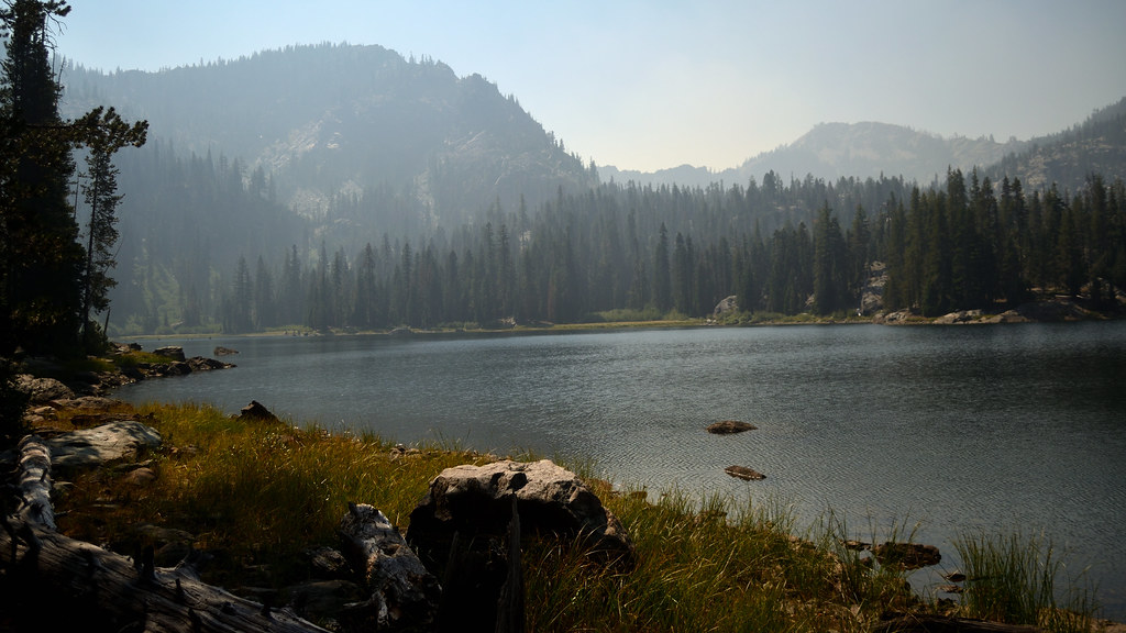 Campbell Cutoff TrailHiking · ~7 min drivePhoto: Tom Hilton, CC BY 2.0 (via Flickr)
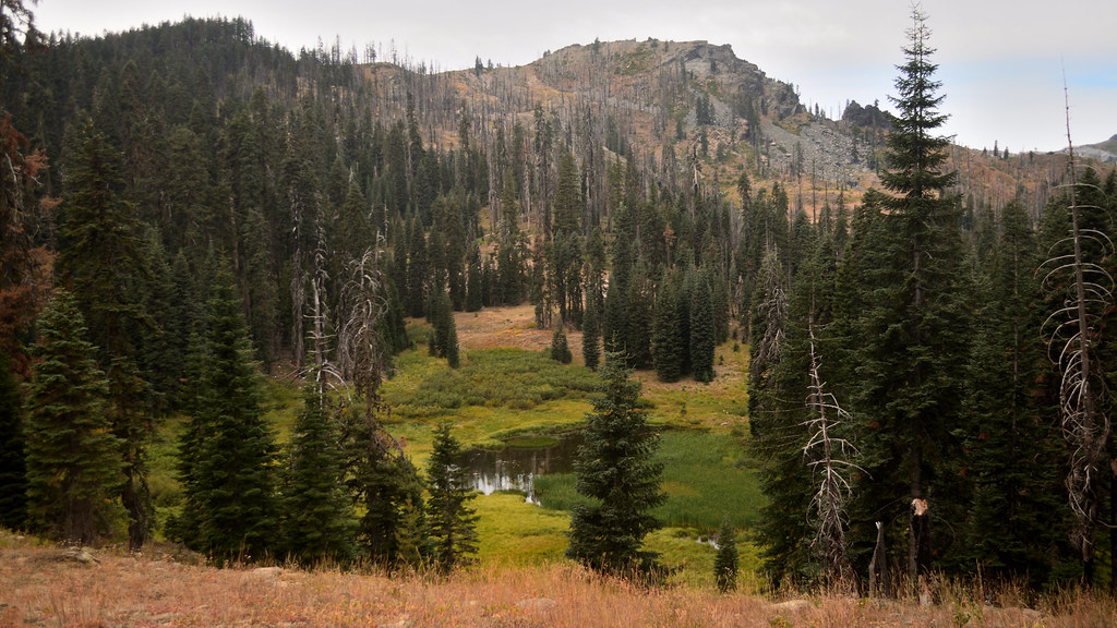 Cold SpringHiking · ~10 min drivePhoto: Tom Hilton, CC BY 2.0 (via Flickr)
- Right Hand ForkHiking · ~6 min drive
- Campbell Lake TrailHiking · ~8 min drivePhoto: Tom Hilton, CC BY 2.0 (via Flickr)
- Shadow LakeHiking · ~10 min drivePhoto: Tom Hilton, CC BY 2.0 (via Flickr)
- Kidder CreekHiking · ~6 min drive
