Butt Mountain
- 1.3 mi
- round trip
- 209 ft
- climb
- 7,862 ft
- high point
- Out and back
- route
Is Butt Mountain open right now?
Closure in the area
There's a closure order in Lassen National Forest. It doesn't name Butt Mountain, so check the source for the area it covers (3 listed).
Harmful Algal Blooms
Agency closure covering Lassen National Forest · USFS · Lassen National Forest
Forest Road Closure Order
Agency closure covering Lassen National Forest · Order 06-26-01 · USFS · Lassen National Forest
SAFETY ALERT - South Antelope Bridge out, Do Not Cross
Agency closure covering Lassen National Forest · USFS · Lassen National Forest
As of · Source: USFS · Lassen National Forest. Agencies don't list every closure — check before you go.
Butt Mountain is an easy hike of about 1.3 miles on a natural-surface trail in the Almanor Ranger District of Lassen National Forest in California. The Forest Service manages the land, and the route is an out-and-back that gains about 209 feet from a low point of 7,634 feet to a high of 7,862 feet. Bikes are allowed on the trail, which makes it a good option for riders as well as hikers. The climb is gentle, with the most elevation gain coming in the final stretch of the out-and-back. Carter Meadows lies about 1.7 miles away, and Elam Campground is about 4.3 miles off. For paddling, Butt Creek is about 5.7 miles away, and Soldier Meadows campground is about 5.8 miles away.
Keep exploring — more trails worth the drive
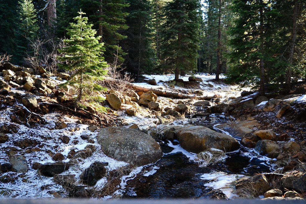 Photo: ilya_ktsn, CC BY 2.0 (via Flickr)
Lake Almanor Recreation Trail
~16 min drive
14.54-mile out-and-back hike at Lake Almanor, California with 872 ft gain
 Photo: donjd2, CC BY 2.0 (via Flickr)
Almanor Cross
~19 min drive
1.02-mile out-and-back trail to Almanor Cross in California.
 Photo: Ken Lund, CC BY-SA 2.0 (via Flickr)
Almanor Recreation Trail
~24 min drive
5.9-mile out-and-back hike in California with 1,584 ft gain and 4,619 ft max elevation.
HIKE
Heart Lake Trail
~27 min drive
16.62-mile out-and-back hike in California with 3,501 ft gain/loss.
 Photo: Pacific Southwest Region 5, Public domain (via Wikimedia Commons)
Spencer Meadow Loop Trail
~21 min drive
9.02-mile out-and-back hike in California with 3,039 ft gain/loss
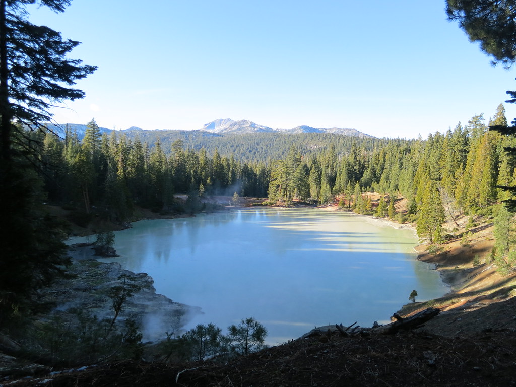 Photo: estro, CC BY-SA 2.0 (via Flickr)
Terminal Geyser Trail
~25 min drive
3.38-mile out-and-back trail with 831 ft gain in California
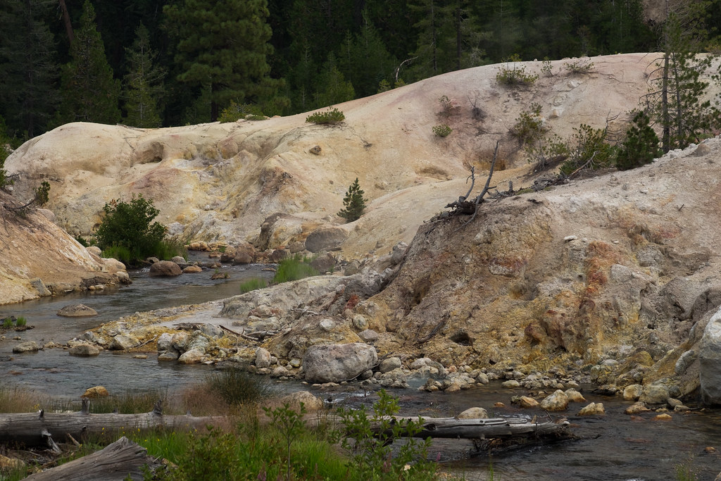 Photo: Justin Dolske, CC BY-SA 2.0 (via Flickr)
Drake Lake Trail
~26 min drive
7.86-mile out-and-back hike in California with 1,649 ft elevation gain.
HIKE
Pacific Crest National Scenic Trail #2000
~27 min drive
6.96-mile out-and-back on the Pacific Crest Trail in California with 5,143 ft gain/loss
Photo: Pacific Southwest Region 5, Public domain (via Wikimedia Commons)SPENCER MEADOW LOOP
~22 min drive
9.16-mile out-and-back out-and-back in California with 3,218 ft elevation gain
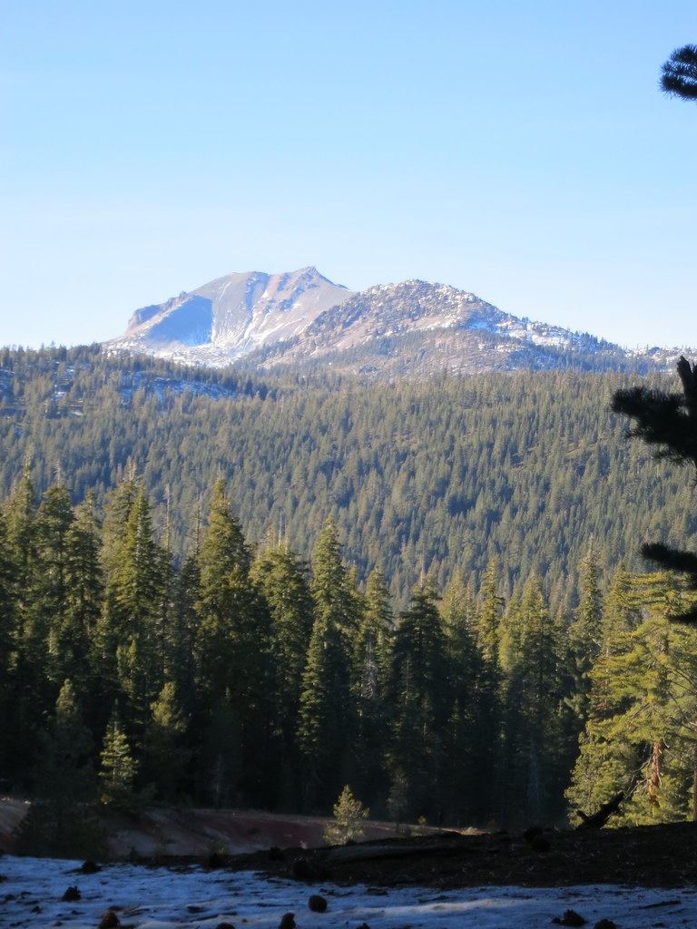 Photo: estro, CC BY-SA 2.0 (via Flickr)
Boiling Springs Lake Trail
~27 min drive
1.04-mile out-and-back hike in California with 401 ft elevation gain and loss.
Route details
- Distance
- 1.3 mi round trip
- Climbing
- About 209 ft
- Summit
- 7,868 ft
- Difficulty
- Easy
Season
Season: Year-round.
Questions about this route
How long is the Butt Mountain on Butt Mountain?
About 1.3 mi round trip.
How much elevation gain is on the Butt Mountain?
About 209 ft of climbing round trip.
How hard is the Butt Mountain?
It is rated easy.
When is the best time for the Butt Mountain?
Year-round.
Conditions and forecast on Butt Mountain
Daily highs and lows, wind and the chance of precipitation at the summit and route start for the next 7 days, from the Open-Meteo model.
