Bull Run Trail
- 0.4 mi
- round trip
- 81 ft
- climb
- 1,157 ft
- high point
- Out and back
- route
- Oct–May
- best months
Bull Run Trail is a short out-and-back hike in California, about 2 miles from the community of Gilliam Place. It covers roughly 0.86 miles, with a total climb of about 81 feet, and it is rated easy. The route starts at an elevation of about 1,157 feet, and the highest point reaches about 1,157 feet. The trail is back-loaded, so the steepest part comes early, at about 0.17 miles, where the grade reaches about 6 percent. The entire trip takes about half an hour. Spring and fall are the most comfortable times to go. Typical averages from a nearby weather station run to highs around 72°F in April and 79°F in October, while July highs reach about 98°F and the station sits nearly 800 feet lower than the trail. Summer brings the fewest wet days.
- Red Bank CreekCanoeing2.7 mi
- Ellen TrailHiking4 mi
- Lanyan TrailHiking5.4 mi
- Reeds CreekCanoeing7.7 mi
- South Fork Cottonwood CreekCanoeing8.2 mi
- North Fork Elder CreekCanoeing8.9 mi
- Cold ForkCanoeing9.8 mi
Source: Roamze catalog (indexable pages within 10 miles, PostGIS distance)
 LAKE RED BLUFF TRAILHiking · ~31 min drivePhoto: Peter Alfred Hess, CC BY 2.0 (via Flickr)
- Lanyan TrailHiking · ~9 min drive
- Cottonwood TrailHiking · ~25 min drive
- Lazyman ButteHiking · ~29 min drive
 SHASTA VIEW TRAILHiking · ~32 min drivePhoto: PunkToad, CC BY 2.0 (via Flickr)
- Humboldt TrailHiking · ~25 min drive
- Old Cottonwood TrailHiking · ~25 min drive
- Wells Creek PeakHiking · ~30 min drive
- Bull Run TrailHiking · ~2 min drive
- Cottonwood TrailHiking · ~25 min drive
Also worth it near here
 Thomes CreekCanoeing · ~24 min drivePhoto: Anna Fiorella (US Forest Service), Public domain (via Wikimedia Commons)
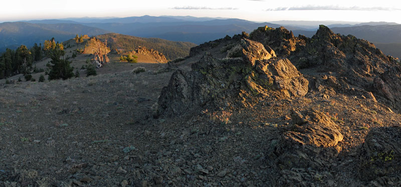 Mount LinnSummit · ~29 min drivePhoto: Mkauffmann, CC BY 3.0 (via Wikimedia Commons)
- Low Gap / Humbolt TieMountain biking · ~32 min drive
- Red Bluff Recreation Area Boat RampBoat launch · ~33 min drive
Best time to visit Bull Run Trail
Best months: October–May. Best months have typical highs of 55–85 °F, lows of 30 °F or warmer (32 °F where the station doesn't record snow), at most one snowy day and no more than 12 wet days.
Jan
56° / 38°
10 wet
Feb
61° / 41°
10 wet
Mar
66° / 44°
9 wet
Apr
72° / 47°
7 wet
May
82° / 55°
5 wet
Jun
91° / 62°
2 wet
Jul
98° / 66°
1 wet
Aug
96° / 64°
0 wet
Sep
91° / 59°
1 wet
Oct
79° / 51°
4 wet
Nov
64° / 43°
8 wet
Dec
56° / 38°
10 wet
Typical high / low (°F) and days with rain or snow, 1991–2020. Measured at Red Bluff Muni Ap, CA, 16.2 mi away at 353 ft. The station sits about 800 ft lower than this place, so expect it a little cooler here. This station doesn't record snowfall. Source: NOAA NCEI U.S. Climate Normals 1991–2020.
Map and trail data © OpenStreetMap contributors
