Free — you'll pick up right here.
Watch this trail
Sign up to watch it — saving subscribes you to gate, closure and report changes.
California
Low Gap / Humbolt Tie
0.2 mi
Distance
149 ft
Gain
15 min
Time
No verdict for this trail
We won't guess. Here is exactly what we do and don't know.
What we do know
Inside Shasta-Trinity National Forest
3 managing-area boundaries mapped — agency alerts for them feed this page automatically.
Boundary data
What's missing
No access route mapped
We don't yet know which road reaches this trailhead, so we can't tell you if it's gated.
Nobody's filed a report here yet — be the first.
Why you'll love it
Here's your ride, mapped
Low Gap / Humbolt Tie
AI-suggested draft · review before you go
Elevation & route
- Distance
- 0.2 mi
- Elevation gain
- 149 ft
- Elevation loss
- 37 ft
- Highest point
- 5,776 ft
- Lowest point
- 5,607 ft
Gear for the day
Photos
Directions & GPX
About this trail
Low Gap / Humbolt Tie is a 0.23-mile trail in the North Yolla Bolly Mountains, California, gaining 209 feet of elevation. The trail is managed by the Forest Service.
Permits & access
- Managing agency
- Forest Service
Add to a trip & share
Keep exploring — more rides worth the drive
Humboldt
~1 min drive
9.68-mile trail in North Yolla Bolly Mountains, California
Oak Knoll Trailhead Connector
~53 min drive
0.18-mile easy singletrack out-and-back in California with 69 ft elevation gain.
Mule Ridge
~54 min drive
4.36-mile out-and-back singletrack in California with 2,355 ft elevation gain.
Cosmos
~55 min drive
Cosmos is a hard out and back trail in California, 0.76 miles and 549 ft gain.
Sanford Ridge
~3 min drive
Sanford Ridge is a 2.58-mile trail in North Yolla Bolly Mountains, California.
Dirt Road Connect
~57 min drive
0.42-mile easy singletrack in California with 160 ft elevation gain.
Snail Trail
~57 min drive
1.53-mile hard singletrack out-and-back in California with 993 ft gain.
South Fork Cottonwood Creek
~4 min drive
11.23-mile trail in North Yolla Bolly Mountains with 1,334 ft elevation gain
Princess Ditch Trail
~58 min drive
7.27-mile out-and-back singletrack in California with 1,234 ft elevation gain.
Cold Fork Ridge
~4 min drive
Cold Fork Ridge is a 1.01-mile trail in California's North Yolla Bolly Mountains, gaining 917 feet.
Also worth it near here
Rat Trap Gap (trailhead)
~4 min drive
 Photo: Pacific Southwest Region 5, Public domain (via Wikimedia Commons)
Brooks Ridge
~11 min drive
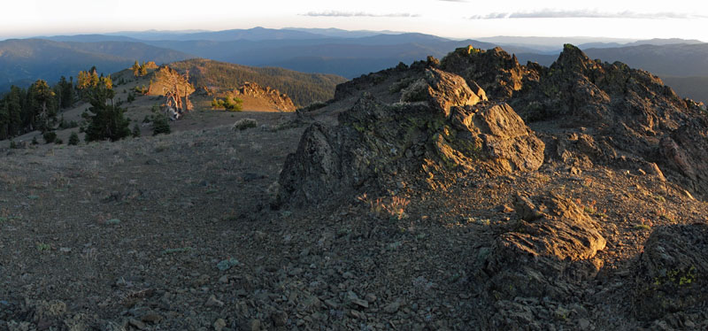 Photo: Mkauffmann, CC BY 3.0 (via Wikimedia Commons)
Mount Linn
~17 min drive
Yolla Bolly-Middle Eel Wilderness
~17 min drive
 Photo: humboldthead, CC BY 2.0 (via Wikimedia Commons)
Middle Fork Eel River
~25 min drive
Map and trail data © OpenStreetMap contributors
