Blackwell Canyon
- 5.5 mi
- round trip
- 1,882 ft
- climb
- 7,061 ft
- high point
- Out and back
- route
- May–Sep
- best months
Blackwell Canyon is a hard hike in Toiyabe National Forest in California, managed by the Forest Service. The route is an out-and-back of about 11 miles, with a total climb of roughly 1,880 feet from the low point at about 5,600 feet to the high point at about 7,060 feet. The steepest stretch comes early, around mile 1.2, where the grade reaches about 21%. For comfortable weather, aim for late spring or early fall. Typical averages from the nearby Bridgeport weather station show May highs around 67°F and September highs around 78°F, while winter brings highs in the low 40s and a few snowy days each month. Rickey Canyon is about 3 miles away, and Wild Horse Spring Trail is about 4.4 miles off. Desert Creek Campground, about 6 miles away, offers a place to stay, and Topaz Lake, about 8 miles away, is a fishing option.
- RICKEY CANYONHiking3.2 mi
- Wild Horse Spring TrailHiking4.4 mi
- Jackass Flat 067 TrailHiking5.4 mi
- ROCK TRAILHiking5.4 mi
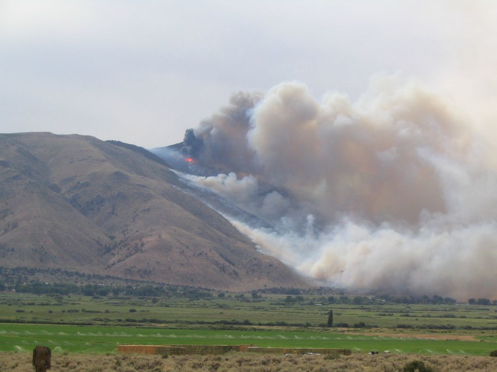 Lost Cannon TrailHikingPhoto: Ken Lund, CC BY-SA 2.0 (via Flickr)6.1 mi
- Desert Creek CampgroundCamping6.3 mi
- Topaz LakeLake fishing7.9 mi
- 395 BoulderRock climbing9.1 mi
Source: Roamze catalog (indexable pages within 10 miles, PostGIS distance)
- Lost Cannon TrailHiking · ~11 min drivePhoto: Ken Lund, CC BY-SA 2.0 (via Flickr)
 GRAY CREEK TRAILHiking · ~13 min drivePhoto: Nouhailler, CC BY-SA 2.0 (via Flickr)
 DrivewayHiking · ~15 min drivePhoto: jfdervin, CC BY-SA 2.0 (via Flickr)
- Corral ValleyHiking · ~14 min drivePhoto: jfdervin, CC BY-SA 2.0 (via Flickr)
 WILD OAT MOUNTAINHiking · ~17 min drivePhoto: Nouhailler, CC BY-SA 2.0 (via Flickr)
 Corral ValleyHiking · ~19 min drivePhoto: jfdervin, CC BY-SA 2.0 (via Flickr)
- Rickey Mine RouteHiking · ~16 min drive
- RICKEY CANYONHiking · ~5 min drive
- Wild Horse Spring TrailHiking · ~7 min drive
- Silver King TrailHiking · ~16 min drive
Also worth it near here
Best time to visit BLACKWELL CANYON
Best months: May–September. Best months have typical highs of 55–85 °F, lows of 30 °F or warmer (32 °F where the station doesn't record snow), at most one snowy day and no more than 12 wet days.
Jan
43° / 10°
5 wet · 4 snow
Feb
45° / 13°
5 wet · 3 snow
Mar
52° / 20°
4 wet · 3 snow
Apr
59° / 25°
3 wet · 1 snow
May
67° / 32°
3 wet · 1 snow
Jun
77° / 39°
2 wet
Jul
85° / 43°
3 wet
Aug
84° / 41°
2 wet
Sep
78° / 34°
2 wet
Oct
66° / 24°
2 wet
Nov
55° / 17°
3 wet · 1 snow
Dec
45° / 12°
5 wet · 3 snow
Typical high / low (°F) and days with rain or snow, 1991–2020. Measured at Bridgeport, CA, 25.7 mi away at 6,470 ft. The station sits about 600 ft lower than this place, so expect it a little cooler here. Source: NOAA NCEI U.S. Climate Normals 1991–2020.


