Black Butte
- 2.6 mi
- round trip
- 829 ft
- climb
- 6,285 ft
- high point
- Out and back
- route
Is Black Butte open right now?
Closure in the area
There's a closure order in Shasta-Trinity National Forest. It doesn't name Black Butte, so check the source for the area it covers (2 listed).
Mud and Ash Creek Area and Road Closure
Agency closure covering Shasta-Trinity National Forest · Order 14-26-13 · USFS · Shasta-Trinity National Forest
Road Closure on Wild Mad Road
Agency closure covering Shasta-Trinity National Forest · Order 14-25-09 · USFS · Shasta-Trinity National Forest
Bailey Cove Road Closure Order
Agency alert covering Shasta-Trinity National Forest · Order 14-25-11 · USFS · Shasta-Trinity National Forest
Trout Creek Bridge Closure Order
Agency alert covering Shasta-Trinity National Forest · Order 14-26-02 · USFS · Shasta-Trinity National Forest
South Fork Suspension Bridge Closure
Agency alert covering Shasta-Trinity National Forest · Order 14-25-30 · USFS · Shasta-Trinity National Forest
As of · Source: USFS · Shasta-Trinity National Forest. Agencies don't list every closure — check before you go.
Black Butte is an easy out-and-back hike of about 2.6 miles in the Mt. Shasta Ranger District of Shasta-Trinity National Forest in California, managed by the Forest Service. The trail rises from about 5,425 feet to about 6,285 feet, with a total elevation gain of 829 feet. The route is rated easy, and the trail surface is mixed. Bikes are allowed, so it works for hikers and riders alike. For more time outdoors, Timber Hills Ridgetop is about 2.7 miles away, and Spring Hill Trail is about 3.2 miles away. McBride Springs Campground sits about 4 miles off, and Mount Shasta, a mountaineering destination, is about 5.8 miles away.
- Timber Hills RidgetopHiking2.7 mi
- Wagon CreekCanoeing3 mi
- Spring Hill TrailHiking3.2 mi
- Mcbride Springs Cg-FCamping4 mi
- Byron’s BoulderRock climbing4.5 mi
- Mount ShastaMountaineering5.8 mi
 Sacramento RiverCanoeingPhoto: David Monniaux, CC BY-SA 3.0 (via Wikimedia Commons)7.5 mi
- Panther Meadows CgCamping8.1 mi
Source: Roamze catalog (indexable pages within 10 miles, PostGIS distance)
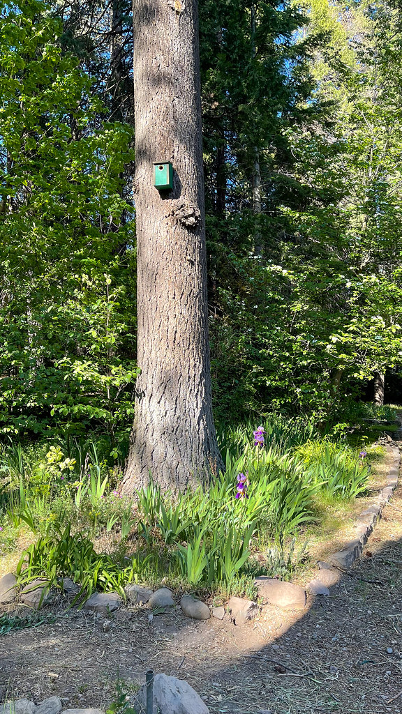 Lemurian DeliriumHiking · ~6 min drivePhoto: JingKe888, CC BY 2.0 (via Flickr)
 LollipopHiking · ~6 min drivePhoto: Misshaleyrobinson, CC BY-SA 4.0 (via Wikimedia Commons)
- GatewayHiking · ~6 min drivePhoto: Misshaleyrobinson, CC BY-SA 4.0 (via Wikimedia Commons)
- Rainbow Ridge TrailHiking · ~7 min drive
- Sisson'sHiking · ~6 min drivePhoto: Misshaleyrobinson, CC BY-SA 4.0 (via Wikimedia Commons)
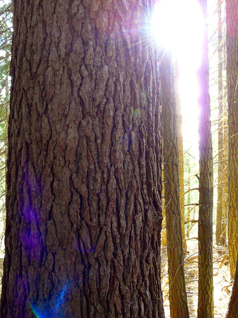 Sisson's TrailHiking · ~7 min drivePhoto: deanetr, CC BY 2.0 (via Flickr)
- Muirs AscensionHiking · ~9 min drivePhoto: deanetr, CC BY 2.0 (via Flickr)
- Sisson's TrailHiking · ~8 min drivePhoto: deanetr, CC BY 2.0 (via Flickr)
 Elsa Rupp TrailHiking · ~8 min drivePhoto: Ken Lund, CC BY-SA 2.0 (via Flickr)
- Bear SpringsHiking · ~11 min drive

Route details
- Distance
- 2.6 mi round trip
- Climbing
- About 829 ft
- Summit
- 6,328 ft
- Difficulty
- Easy
Season
Season: Year-round.
Questions about this route
How long is the Black Butte on Black Butte?
About 2.6 mi round trip.
How much elevation gain is on the Black Butte?
About 829 ft of climbing round trip.
How hard is the Black Butte?
It is rated easy.
When is the best time for the Black Butte?
Year-round.
Conditions and forecast on Black Butte
Daily highs and lows, wind and the chance of precipitation at the summit and route start for the next 7 days, from the Open-Meteo model.
