Trail Camp
Campground
Campground · 5.6 mi from the trail
No closures listed
The National Park Service lists no closures for Sequoia National Park.
As of · Source: NPS · Sequoia National Park. Agencies don't list every closure — check before you go.
Bighorn Plateau is a moderate out-and-back hike in Sequoia National Park, within the Sequoia-Kings Canyon Wilderness in California. The National Park Service manages the land, and the route starts and ends at about 10,388 feet, rising to a high point of 11,414 feet over a total distance of about 8.6 miles with a one-way elevation gain of about 1,001 feet. Wallace Lake sits just 0.1 mile away, and Wright Creek is about a mile off. Farther out, Crabtree Sand Flats is roughly 2.3 miles away, and the Whitney Trailhead Walk In Campground is about 7.4 miles away for anyone planning an overnight stay.
Trail Camp
Campground
 If it rainsDavid Fulmer, CC BY 2.0 · Wikimedia Commons
Giant Forest Museum
Museum
Places © OpenStreetMap contributors · Photos: David Fulmer, CC BY 2.0 (commons)
More in Silver CityNot on Roamze yet. Their page has how to reach them.
 Wright CreekHikingPhoto: ilya_ktsn on Flickr, CC BY 2.0 (via Wikimedia Commons)1 mi
 Mt. RussellRock climbingPhoto: Don Graham from Redlands, CA, USA - God bless it!, CC BY-SA 2.0 (via Wikimedia Commons)4.5 mi
 Mt. WhitneyRock climbingPhoto: Moo.The.Cow, CC BY 2.0 (via Flickr)4.5 mi
 Mt. TyndallRock climbingPhoto: glenngould, CC BY 2.0 (via Wikimedia Commons)4.6 mi
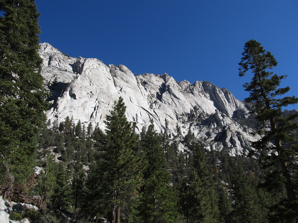 Whitney Trailhead Walk In CampgroundCampingPhoto: Ken Lund — CC BY-SA 2.0 (via Flickr)7.4 mi
Source: Roamze catalog (indexable pages within 10 miles, PostGIS distance)
Wright CreekHiking · ~2 min drivePhoto: ilya_ktsn on Flickr, CC BY 2.0 (via Wikimedia Commons) Wallace CreekHiking · ~4 min drivePhoto: ilya_ktsn on Flickr, CC BY 2.0 (via Wikimedia Commons)
 Forester Pass SouthHiking · ~6 min drivePhoto: Matt Lavin, CC BY-SA 2.0 (via Flickr)
 Mount WhitneyHiking · ~8 min drivePhoto: Ken Lund from Reno, Nevada, USA, CC BY-SA 2.0 (via Wikimedia Commons)
 Sandy MeadowHiking · ~4 min drivePhoto: Matt Lavin, CC BY-SA 2.0 (via Flickr)Tyndall Ranger StationHiking · ~5 min drivePhoto: ilya_ktsn on Flickr, CC BY 2.0 (via Wikimedia Commons)Shepherd PassHiking · ~6 min drivePhoto: Matt Lavin, CC BY-SA 2.0 (via Flickr)
 Discovery PinnacleHiking · ~12 min drivePhoto: Seth Tisue, CC BY-SA 2.0 (via Flickr)
 Crabtree LakesHiking · ~5 min drivePhoto: Matt Lavin, CC BY-SA 2.0 (via Flickr)
 Rock CreekHiking · ~13 min drivePhoto: Matt Lavin, CC BY-SA 2.0 (via Flickr)
Also worth it near here
Mt. RussellRock climbing · ~8 min drivePhoto: Don Graham from Redlands, CA, USA - God bless it!, CC BY-SA 2.0 (via Wikimedia Commons) Mount VersteegSummit · ~8 min drivePhoto: Tim Berger, CC BY 2.0 (via Wikimedia Commons)Whitney Trailhead Walk In CampgroundCamping · ~13 min drivePhoto: Ken Lund — CC BY-SA 2.0 (via Flickr)
