Big Nasty Trail Start, Tulelake, Ca
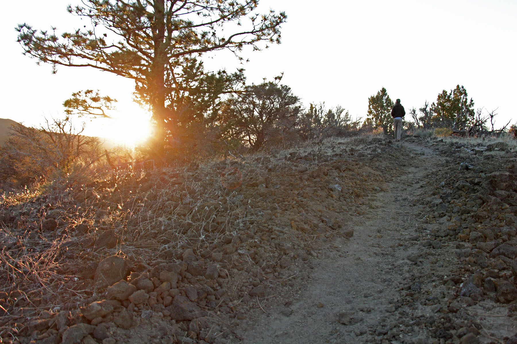
- 1.7 mi
- loop
- 223 ft
- climb
- 5,406 ft
- high point
- Loop
- route
- May–Jun, Sep–Oct
- best months
Is Big Nasty Trail Start, Tulelake, Ca open right now?
Alert in the area
The Forest Service lists an alert for Modoc National Forest.
Forest Fire Restrictions 2026 have been lifted as of 09/27/2026
Agency alert covering Modoc National Forest · Order 09-26-01 · USFS · Modoc National Forest
As of · Source: USFS · Modoc National Forest. Agencies don't list every closure — check before you go.
A loop trail, Big Nasty is 2 miles (3.2 km) long. Named after a brush-covered rough lava area just to the north— “it is big and it is nasty!” From the Mammoth Crater/Hidden Valley pullout, the trail starts along the crater rim. Turn left from the Mammoth Crater Trail. Due to the impacts of the 2021 Antelope Fire we ask that visitors stay on the marked trail. Lava Beds has twelve hiking trails. The most popular trails are short, but lead to interesting historic sites and geological features. Due to resource concerns, pets and bicycles are not permitted on any park trails, on in non-developed area or caves. All trails cross or enter the non-developed backcountry, while the long trails are primarily in designated wilderness areas. The trails in this bulletin are arranged by their distance from the visitor center. Carry plenty of water regardless of trail length—no surface water exists at Lava Beds. Watch for rattlesnakes and wear sunscreen and a hat in summer. Be prepared for sudden weather changes any time of year. Pets, bicycles, hunting, and motorized vehicles are not permitted in wilderness areas. No person may camp in a non-developed or wilderness area with a group size of more than twelve, including horses and pack animals. Due to the dry nature of Lava Beds, especially in summer, open fires are not allowed at any time in the backcountry. Gas stoves are permitted. Other restrictions may apply during extreme fire conditions—please check with a ranger. Camping in or within 50 yards (46 km) of caves or in the vicinity of chimneys is not permitted. Camping within 0.25 miles (0.4 km) of roads, trailheads, and parking areas is also prohibited. Check at the visitor center for current weather information. Carry first aid supplies and let someone know where you are going and when you plan to return. Off-trail hiking is not recommended, as lava terrain is very rough. Please remember to leave no trace. If you pack it in, pack it out. Leave what you find. All historic and prehistoric objects, plants, animals, and rocks are protected. Please store your food securely and do not share your lunch with any wild animals.
Local outfitters
- Crater Lake Zipline and Kayak Tours39 mi away
- Yamsi Fly Fishing39 mi away
Not on Roamze yet. Their page has how to reach them.
Best time to go · May–Jun, Sep–Oct
Best time to visit Big Nasty Trail Start, Tulelake, Ca
Best months: May–June and September–October. Best months have typical highs of 55–85 °F, lows of 30 °F or warmer (32 °F where the station doesn't record snow), at most one snowy day and no more than 12 wet days.
Jan
43° / 23°
10 wet · 6 snow
Feb
46° / 25°
9 wet · 5 snow
Mar
52° / 28°
11 wet · 6 snow
Apr
57° / 31°
10 wet · 4 snow
May
66° / 38°
8 wet · 1 snow
Jun
76° / 44°
6 wet
Jul
86° / 52°
3 wet
Aug
86° / 51°
2 wet
Sep
78° / 45°
3 wet
Oct
66° / 36°
5 wet · 1 snow
Nov
50° / 27°
9 wet · 3 snow
Dec
41° / 22°
9 wet · 5 snow
Typical high / low (°F) and days with rain or snow, 1991–2020. Measured at Lava Beds Nat Mon, CA, 2.4 mi away at 4,770 ft. The station sits about 600 ft lower than this place, so expect it a little cooler here. Source: NOAA NCEI U.S. Climate Normals 1991–2020.
Keep exploring — more trails worth the drive
HIKE
Heppe Cave Trail Start, Tulelake, CA
Next door
Heppe Cave Trail can be found on the road to Mammoth Crater. This 0.4-mile (0.6 km) trail begins under tall Ponderosa pines. As you reach the end of the trail, you will view an enormous collapse. Follow the trail into Heppe Ice Cave that has a large opening at both ends. Due…
HIKE
Bunchgrass Trail Start, Tulelake, CA
~5 min drive
Start across from Site B-7 in the campground. Follow along the northeast side of Crescent Butte to the park road. Approximately 1 mile (1.6 km) long. Lava Beds has twelve hiking trails. The most popular trails are short, but lead to interesting historic sites and geological…
 Photo: daveynin, CC BY 2.0 (via Flickr)
Gold Digger Pass Trail
~11 min drive
6.16-mile out-and-back trail in California with 729 ft gain and 4,710 ft max elevation.
 Photo: ex_magician, CC BY 2.0 (via Flickr)
Little Mount Hoffman Trail
~15 min drive
6.12-mile out-and-back hike in California with 678 ft gain
HIKE
Schonchin Butte Trail Start, Tulelake, Ca
~6 min drive
This trail climbs 0.7 miles (1.4 km) to the fire lookout and a panoramic view. Trail has a 500 -foot elevation gain. You can be a guest of the lookout on duty in summer. Please stay on the designated trail and do not shortcut switchbacks. Lava Beds has twelve hiking trails.…
 Photo: bgwashburn, CC BY 2.0 (via Flickr)
Indian Well Campground
~5 min drive
0.9-mile out-and-back trail at Indian Well Campground in California.
HIKE
Whitney Butte Trail
~7 min drive
7.38-mile out-and-back hike in California with 627 ft gain/loss.
HIKE
Lyons Trail
~12 min drive
10.38-mile out-and-back hike in California with 454 ft elevation gain
HIKE
Thomas-Wright Battlefield Trail Start, Tulelake, Ca
~9 min drive
Volcanism and history are featured here. The hike onto Black Crater is less than 0.3 miles (0.5 km) by bearing right. The battlefield is 1.1 miles (1.8km) one way. View fine wildflower displays in season. Lava Beds has twelve hiking trails. The most popular trails are short…
 Photo: bgwashburn, CC BY 2.0 (via Flickr)
Caldwell Minor Trail
~5 min drive
2.14-mile out-and-back trail in California with 272 ft elevation gain

