Loading…

Free — you'll pick up right here.
Watch this trail
Sign up to watch it — saving subscribes you to gate, closure and report changes.
California
9.6 mi
Distance
4,511 ft
Gain
Agency alerts are in effect for this area; weather is good
2 factors · 2 sources
Newest 23 h ago · oldest 11 d
caution: Agency alerts
9 active alerts in Klamath National Forest; most severe: Fire restrictions in effect on Klamath National Forest
USFS11 d ago
clear: Weather
Clouds, high 74°F / low 44°F, 0% precip — 97/100 for hike
OpenWeather23 h ago
Been out here in the last few days? One report keeps this current for everyone.
Why you'll love it
Big Meadows
AI-suggested draft · review before you go
No permit or access details on file for this trail — check with the local land manager before you go.
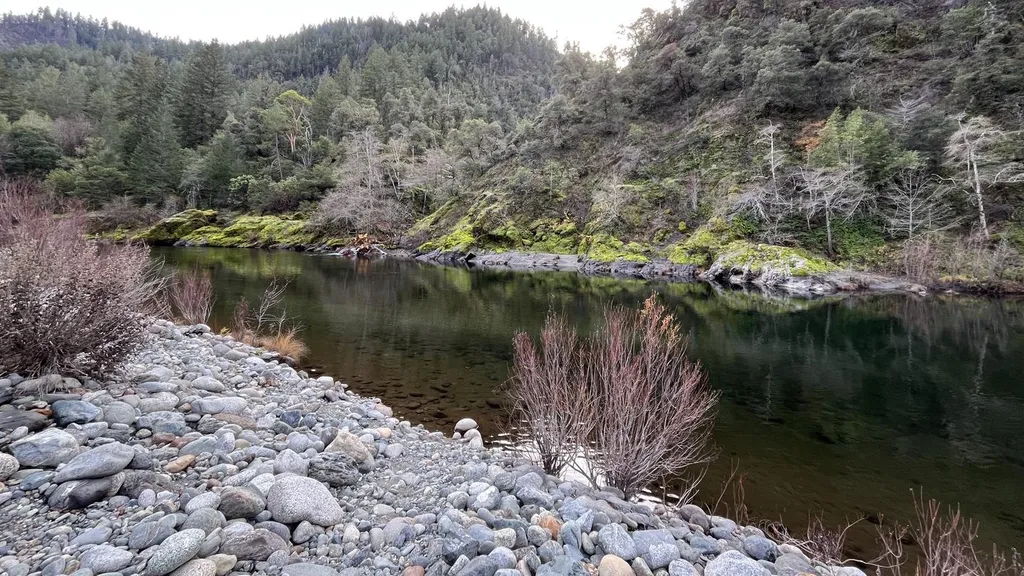
Big Meadows is a challenging alpine trail that climbs over 4,500 feet through diverse terrain to reach expansive high-elevation meadows. This nearly 10-mile round trip offers stunning views of the surrounding peaks and access to pristine subalpine meadowland, making it a rewarding destination for experienced hikers seeking solitude and natural beauty.
Wild Lake
~6 min drive
Easy 0.80-mile lake hike with 200 ft elevation gain.
Hell Hole Ridge
~6 min drive
Steep 3-mile ridge climb with 746 ft elevation gain and panoramic views.
Bug Gulch
~7 min drive
Challenging 14.9-mile gulch hike with 2,362 ft elevation gain.
Big Meadows Tie
~7 min drive
Easy 1-mile meadow connector trail with minimal elevation gain.
Marble Rim
~9 min drive
Steady climb to marble-rimmed vistas with 991 ft gain near Marble Rim, CA.
Ethel
~8 min drive
Moderate 8-mile trail with 1,660 ft gain near Ethel, California.
Abbott Lake
~9 min drive
Steep 2-mile alpine lake hike with nearly 1,000 ft elevation gain.
Upper Abbotts
~9 min drive
Steep 4.7-mile climb with 2,133 ft elevation gain in Upper Abbotts area.
Wooley Creek
~8 min drive
Remote 21.8-mile backcountry creek trail with 2,000 ft gain in Northern California.
Burney Lake
~9 min drive
Easy 1.6-mile loop around a scenic alpine lake in northeastern California.