Hell Hole Ridge
- 3.0 mi
- round trip
- 246 ft
- climb
- 6,897 ft
- high point
- Out and back
- route
Is Hell Hole Ridge open right now?
Alert in the area
The Forest Service lists 2 alerts for Klamath National Forest.
Temporarily closure of approximately 3.5 miles of National Forest System Roads 47N01
Agency alert covering Klamath National Forest · Order 05-05-00-26-08 · USFS · Klamath National Forest
Grayback Road Repairs
Agency alert covering Klamath National Forest · USFS · Klamath National Forest
As of · Source: USFS · Klamath National Forest. Agencies don't list every closure — check before you go.
Hell Hole Ridge is a 3-mile out-and-back hike in the Marble Mountain Wilderness, within the Salmon River Ranger District of Klamath National Forest in California. The route rises about 250 feet from a low point of 6,700 feet to a high of 6,897 feet, and it is rated moderate. The Forest Service manages the land, and the trail is natural-surfaced. The ridge sits inside designated wilderness, which means the surrounding area is protected from development. That also sets the stage for a hike that feels remote and intact, with no roads or structures along the way. Several other trails lie within a mile, including Big Meadows Tie and Bug Gulch, both about 0.9 miles away, and Ethel at about a mile. Paddlers can head to Wooley Creek, roughly 5 miles off, and climbers will find Karst Crag and Marble Mountain about 8 miles away.
- Big Meadows TieHiking0.9 mi
- Bug GulchHiking0.9 mi
- EthelHiking1 mi
- Wooley CreekCanoeing4.9 mi
- North Fork Wooley CreekCanoeing5.7 mi
- Right Hand Fork North Fork Salmon RiverCanoeing5.7 mi
- Karst CragRock climbing8.2 mi
- Marble MountainRock climbing8.3 mi
Source: Roamze catalog (indexable pages within 10 miles, PostGIS distance)
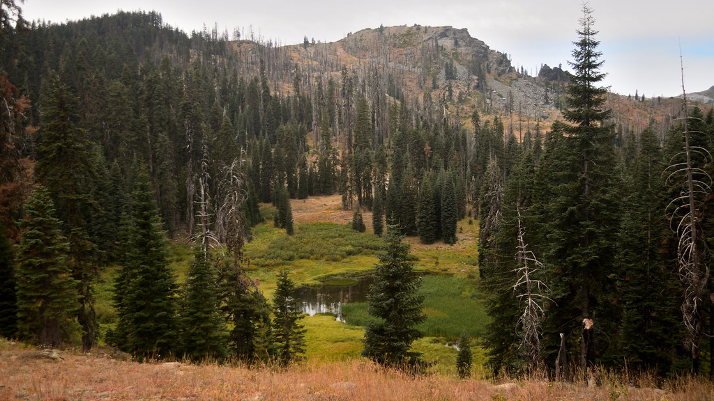 Shadow Lake TrailHiking · ~12 min drivePhoto: Tom Hilton, CC BY 2.0 (via Flickr)
 HaypressHiking · ~13 min drivePhoto: Calaina, CC BY-SA 3.0 (via Wikimedia Commons)
 Bull MeadowsHiking · ~13 min drivePhoto: Tom Hilton, CC BY 2.0 (via Flickr)
- North Fork Salmon TrailHiking · ~11 min drive
- Shadow LakeHiking · ~12 min drivePhoto: Tom Hilton, CC BY 2.0 (via Flickr)
- Bug GulchHiking · ~2 min drive
- Marble RimHiking · ~13 min drivePhoto: Calaina, CC BY-SA 3.0 (via Wikimedia Commons)
- Portuguese Peak TrailHiking · ~13 min drive
- Cold SpringHiking · ~12 min drivePhoto: Tom Hilton, CC BY 2.0 (via Flickr)
- EthelHiking · ~2 min drive
