Bug Gulch
- 14.9 mi
- round trip
- 3,381 ft
- climb
- 6,933 ft
- high point
- Out and back
- route
Is Bug Gulch open right now?
Alert in the area
The Forest Service lists 2 alerts for Klamath National Forest.
Temporarily closure of approximately 3.5 miles of National Forest System Roads 47N01
Agency alert covering Klamath National Forest · Order 05-05-00-26-08 · USFS · Klamath National Forest
Grayback Road Repairs
Agency alert covering Klamath National Forest · USFS · Klamath National Forest
As of · Source: USFS · Klamath National Forest. Agencies don't list every closure — check before you go.
Bug Gulch is a hard hike in the Marble Mountain Wilderness, part of the Salmon River Ranger District of Klamath National Forest in California. The trail is an out-and-back route of about 15 miles, with a total elevation gain of 3,381 feet. It starts at a low point of about 4,591 feet and climbs to a high point of about 6,933 feet. The trail is a natural-surface route, and the Forest Service manages the land. The climb is long and steep, so plan on a full day on foot. Several other routes lie close by. Big Meadows Tie is about 0.1 mile away, and Wild Lake and Ethel are within a mile. Paddlers can reach the Right Hand Fork North Fork Salmon River, about 5 miles off.
Keep exploring — more trails worth the drive
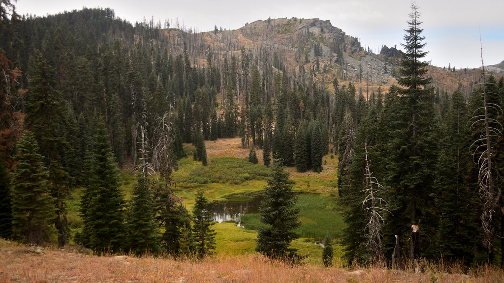 Photo: Tom Hilton, CC BY 2.0 (via Flickr)
Shadow Lake
~11 min drive
0.42-mile out-and-back trail to Shadow Lake in California with 270 ft of elevation gain.
 Photo: Tom Hilton, CC BY 2.0 (via Flickr)
Bull Meadows
~12 min drive
3.30-mile out-and-back trail in California with 615 ft elevation gain.
 Photo: Calaina, CC BY-SA 3.0 (via Wikimedia Commons)
Haypress
~12 min drive
12.42-mile out-and-back trail in California with 2,107 ft elevation gain.
HIKE
North Fork Salmon Trail
~10 min drive
27.34-mile out-and-back trail in California with 6,361 ft elevation gain/loss.
Photo: Tom Hilton, CC BY 2.0 (via Flickr)Shadow Lake Trail
~11 min drive
0.88-mile out-and-back hike to Shadow Lake in California with 613 ft gain.
Photo: Calaina, CC BY-SA 3.0 (via Wikimedia Commons)Marble Rim
~12 min drive
4.44-mile out-and-back trail in California with 991 ft gain.
HIKE
Ethel
~1 min drive
Ethel is an 8.00-mile out-and-back trail in California with 1,660 feet of elevation gain.
Photo: Tom Hilton, CC BY 2.0 (via Flickr)Cold Spring
~11 min drive
0.83-mile out-and-back trail in California with 42 ft of elevation gain.
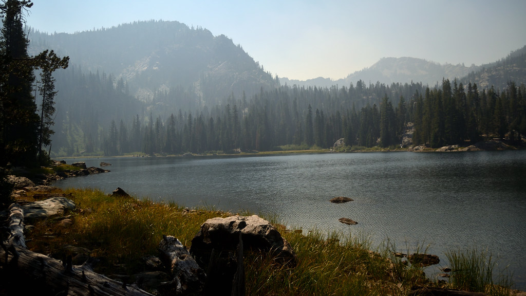 Photo: Tom Hilton, CC BY 2.0 (via Flickr)
Campbell Cutoff Trail
~12 min drive
3.14-mile out-and-back hike in California with 1,249 ft elevation gain
HIKE
Old Tanners
~6 min drive
7.00-mile out-and-back trail in California with 1,732 ft gain.
