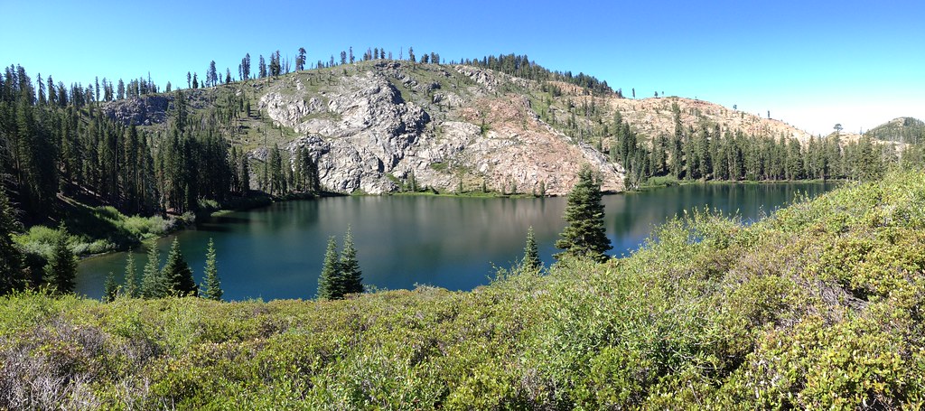
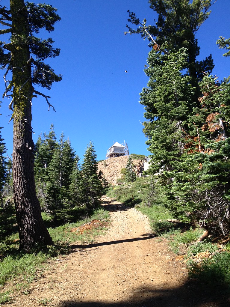
Rediscovery Dome Left
Rediscovery Dome Left in California has 9 climbing routes with 7 difficulty grades, offering sport and trad styles.
- 9 routes
- 5.7 – 5.11a
- Sport · Trad
Is Rediscovery Dome Left open right now?
Alert in the area
The Forest Service lists 2 alerts for Tahoe National Forest.
Stage 1 Fire Restrictions
Agency alert covering Tahoe National Forest · Order 17-26-25 · USFS · Tahoe National Forest
Camping and Campfire Restrictions-Truckee and Sierraville Districts
Agency alert covering Tahoe National Forest · Order 17-25-05 · USFS · Tahoe National Forest
As of · Source: USFS · Tahoe National Forest. Agencies don't list every closure — check before you go.
Best time to visit Rediscovery Dome Left
Best months: April–October. Best months have typical highs of 55–85 °F, lows of 30 °F or warmer (32 °F where the station doesn't record snow), at most one snowy day and no more than 12 wet days.
Jan
46° / 29°
Feb
47° / 28°
Mar
49° / 30°
Apr
55° / 33°
May
64° / 40°
Jun
73° / 47°
Jul
82° / 54°
Aug
81° / 54°
Sep
77° / 51°
Oct
66° / 42°
Nov
54° / 34°
Dec
45° / 29°
Typical high / low (°F) and days with rain or snow, 1991–2020. Measured at Bowman Dam, CA, 0.5 mi away at 5,385 ft. This station doesn't record snowfall. Source: NOAA NCEI U.S. Climate Normals 1991–2020.
Rediscovery Dome Left is a climbing area in California's Tahoe National Forest, within the Yuba River Ranger District. The Forest Service manages the land, and the site sits about a tenth of a mile from Rediscovery Dome Right and the Boy Scout Wall, making the two areas easy to pair into a single outing. The climbing here is a mix of sport and trad routes, with sport routes dominating the selection. Nine routes are listed in total, and they range from 5.7 up to 5.11a on the YDS scale. The median grade is 5.10b. Among the named routes are Old Cranks, a 5.7 trad climb, and Dancing With The Devil, a 5.11a sport route. The closest weather station sits about half a mile away at Bowman Dam, and it sits at nearly the same elevation as the dome. Typical averages from that station show July and August highs in the low 80s, with lows in the mid-50s. Winters are cold, with January lows near 29°F. For time off the rock, the Bullpen and Bowman Mountain hikes are both about 2.3 miles away. The Lindsey Lake campground and East Fork Creek paddling are a little farther, around 2.5 and 2.6 miles.
Routes (9)
Keep exploring — more climbs worth the drive
 Photo: MarkDoliner, CC BY-SA 2.0 (via Flickr)
Larry Land
~1 min drive
Larry Land in California has 22 sport climbing routes across 13 difficulty grades.
Photo: MarkDoliner, CC BY-SA 2.0 (via Flickr)Candy Land
~1 min drive
Candy Land in California has 9 sport climbing routes on 6 difficulty grades.
 Photo: ilya_ktsn, CC BY 2.0 (via Flickr)
Island Lake Boulders
~6 min drive
Island Lake Boulders in California has 23 bouldering routes with pads.
 Photo: ericheath, CC BY 2.0 (via Flickr)
The Scoop
~16 min drive
Scoop, The in California has 6 bouldering routes across 5 grades.
Photo: ericheath, CC BY 2.0 (via Flickr)Stress Management Boulders
~16 min drive
Stress Management Boulders is a bouldering area in California with 9 routes.
Photo: ericheath, CC BY 2.0 (via Flickr)Stress Management Boulder
~16 min drive
Stress Management Boulder is a California bouldering crag with 8 routes.
Photo: MarkDoliner, CC BY-SA 2.0 (via Flickr)B - Word
~0 min drive
B - Word is a California climbing area with 14 sport routes on 10 difficulty grades.
The Fun House
~1 min drive
Fun House, The in California has 20 climbing routes with 12 difficulty grades.
The Cove
~1 min drive
Cove, The in California has 22 climbing routes.
Bowman Valley
~1 min drive
Bowman Valley in California has 24 climbing routes with 18 difficulty grades.