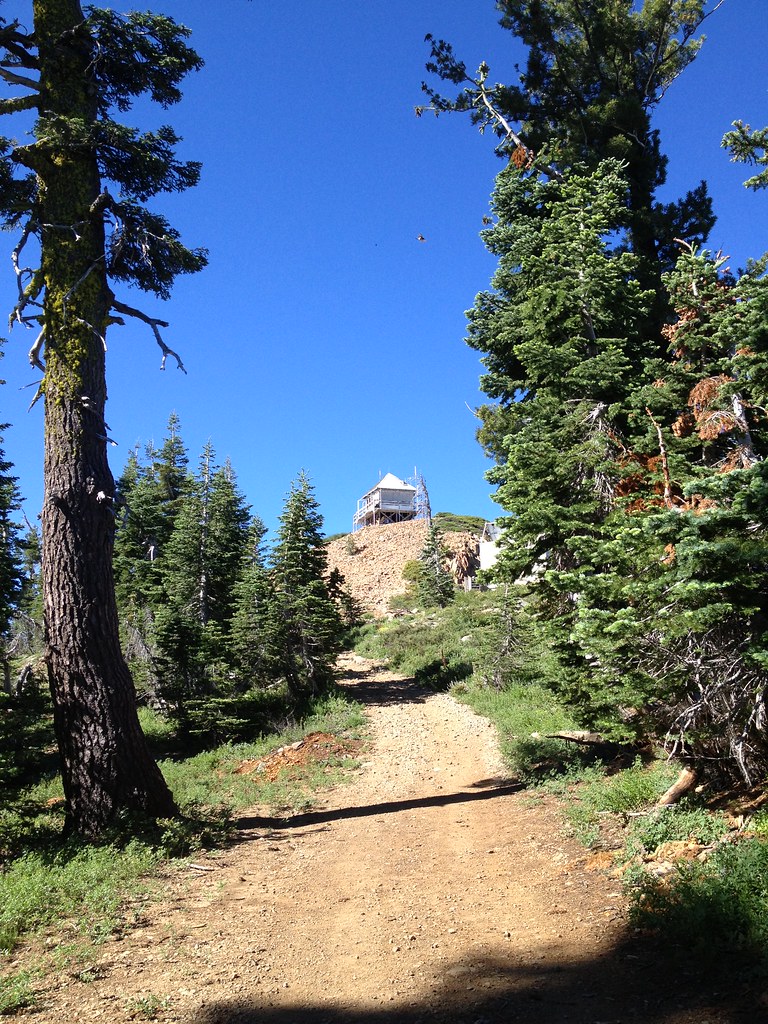
Sanford Lake
Campground
Campground · 0.4 mi from the trail
 Photo: ray_explores, CC BY 2.0 (via Flickr)
Alert in the area
The Forest Service lists an alert for Tahoe National Forest.
Camping and Campfire Restrictions-Truckee and Sierraville Districts
Agency alert covering Tahoe National Forest · Order 17-25-05 · USFS · Tahoe National Forest
As of · Source: USFS · Tahoe National Forest. Agencies don't list every closure — check before you go.
Downey Lake is a short, easy hike in the Yuba River Ranger District of Tahoe National Forest in California, managed by the Forest Service. The trail is about 0.7 miles long, with a one-way elevation gain of 291 feet, and it follows a natural surface. It is an out-and-back route, starting at a low point of about 6,885 feet and reaching a high point of about 7,196 feet. The trail is open year-round, and the Forest Service allows both horses and bikes. That makes it a flexible option for riders and pack animals as well as hikers. Summer is the most comfortable time to go. Typical averages from a nearby weather station at Sagehen Creek, which sits about 860 feet lower, show July highs around 80°F with lows near 37°F. Winter is cold, with January highs around 40°F and lows near 15°F. Round Lake is about 0.2 miles away and Sanford Lake about 0.4 miles. Grouse Ridge campground is about half a mile off, and the Island Lake Boulders climbing area is about a mile away.
Sanford Lake
Campground
Golden Drift Museum
Museum
Places © OpenStreetMap contributors
More in Nevada CityNot on Roamze yet. Their page has how to reach them.
Best months: June–August. Best months have typical highs of 55–85 °F, lows of 30 °F or warmer (32 °F where the station doesn't record snow), at most one snowy day and no more than 12 wet days.
Jan
40° / 15°
Feb
41° / 15°
Mar
48° / 19°
Apr
53° / 22°
May
62° / 28°
Jun
72° / 32°
Jul
80° / 37°
Aug
79° / 35°
Sep
73° / 31°
Oct
61° / 24°
Nov
49° / 20°
Dec
39° / 14°
Typical high / low (°F) and days with rain or snow, 1991–2020. Measured at Sagehen Creek, CA, 19.6 mi away at 6,337 ft. The station sits about 900 ft lower than this place, so expect it a little cooler here. This station doesn't record snowfall. Source: NOAA NCEI U.S. Climate Normals 1991–2020.
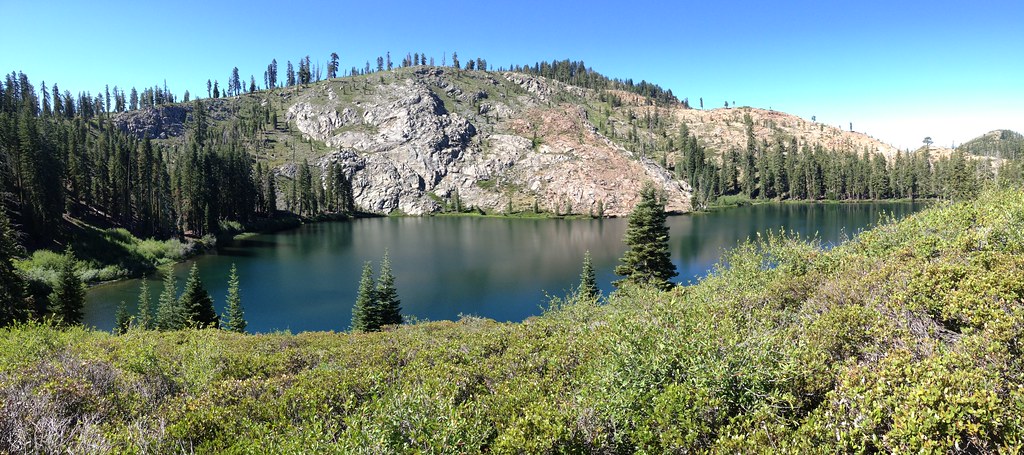 Photo: ray_explores, CC BY 2.0 (via Flickr)
Round Lake
Next door
5.20-mile out-and-back trail in California with 500 ft elevation gain.
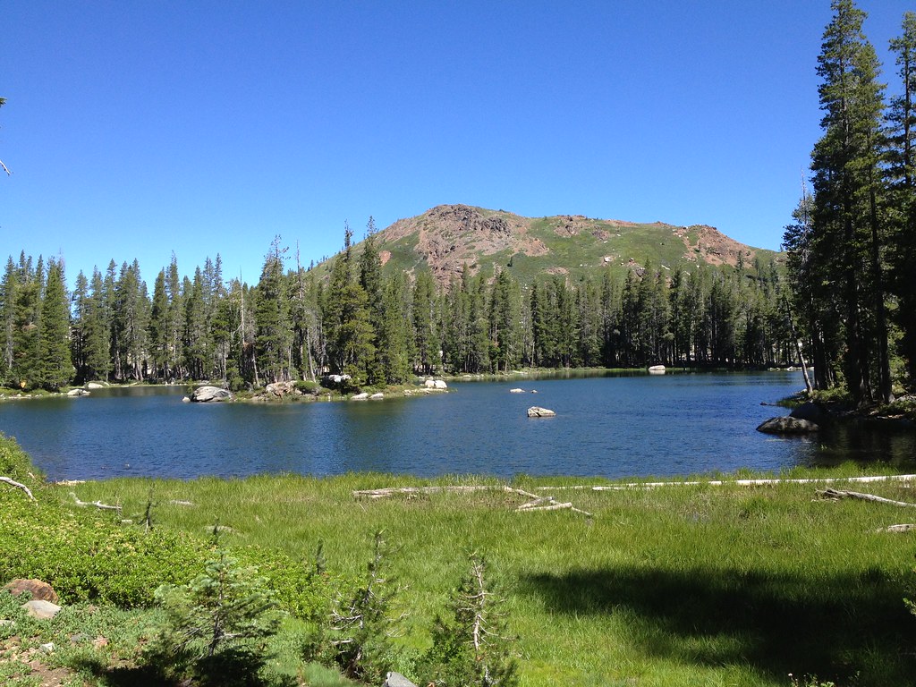 Photo: ray_explores, CC BY 2.0 (via Flickr)
Crooked Lakes Trail
~2 min drive
6.60-mile out-and-back hike in California with 628 ft elevation gain.
 Photo: ray_explores, CC BY 2.0 (via Flickr)
Blue Lake
~3 min drive
2.95-mile out-and-back trail to Blue Lake in California with 1,031 ft of elevation gain.
Photo: ray_explores, CC BY 2.0 (via Flickr)Glacier Lake
~1 min drive
5.76-mile out-and-back trail to Glacier Lake in California with 671 ft of elevation gain.
 Photo: ray_explores, CC BY 2.0 (via Flickr)
Beyers Lake Trail (13E15)
~7 min drive
9.56-mile out-and-back hike in California with 2,755 ft elevation gain and loss.
 Photo: ilya_ktsn, CC BY 2.0 (via Flickr)
Sand Ridge Trail
~4 min drive
4.28-mile out-and-back hike in California with 919 ft elevation gain and loss.
 Photo: Loco Steve, CC BY 3.0 (via Wikimedia Commons)
SIGNAL PEAK LOOKOUT LOOP
~9 min drive
2.6-mile out-and-back out-and-back at Signal Peak Lookout in California
 Photo: waterarchives, CC BY-SA 2.0 (via Flickr)
Spaulding Lake Trail
~7 min drive
8.80-mile out-and-back hike in California with 1,124 ft gain.
Photo: ilya_ktsn, CC BY 2.0 (via Flickr)Five Lakes Basin
~4 min drive
2-mile out-and-back trail in California's Five Lakes Basin with 32 ft of elevation gain.
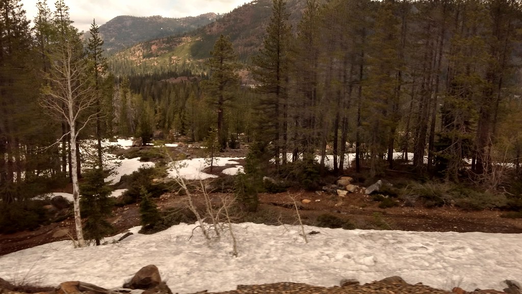 Photo: PLeia2, CC BY 2.0 (via Flickr)
Salmon Lake Trail
~15 min drive
3.00-mile out-and-back hike in California with 464 ft gain.