Union Flat
- May 22
- season
- Apr–Jun, Sep–Nov
- best months
Is Union Flat open right now?
Alert in the area
The Forest Service lists an alert for Tahoe National Forest.
Camping and Campfire Restrictions-Truckee and Sierraville Districts
Agency alert covering Tahoe National Forest · Order 17-25-05 · USFS · Tahoe National Forest
As of · Source: USFS · Tahoe National Forest. Agencies don't list every closure — check before you go.
- At 3,378 ft
- Yuba River Ranger DistrictTahoe National Forest
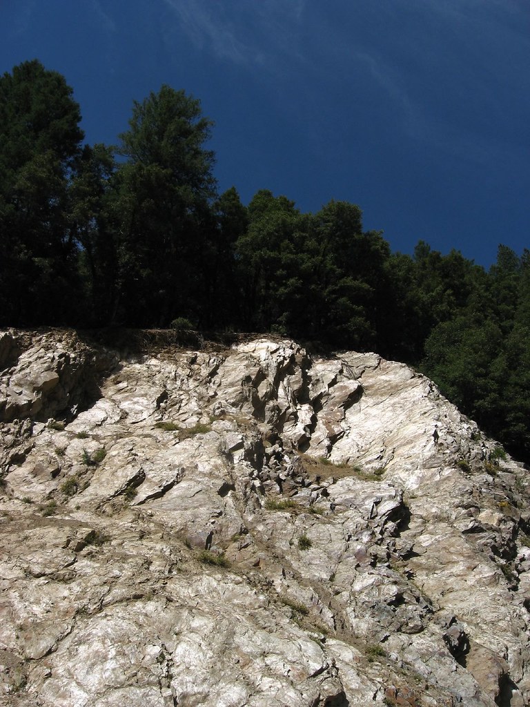
Union Flat Campground sits 6 miles east of Downieville on the North Yuba River, along Hwy 49 in the Yuba River Ranger District of Tahoe National Forest. The Forest Service manages the site, which lies in a stretch of oak and maple trees, with hiking trails nearby. It is the only place on the North Yuba River for recreational mining, and an area downstream is also available for it. The campground has vault toilets, and a fee is charged for recreation. The most comfortable stretch for a visit runs from late spring into early fall. Typical averages from a nearby weather station in Downieville show May highs around 72°F and October highs around 72°F, with July and August peaking near 89°F. Cleveland Mine Trail and Secret Canyon Trail are both within 3 miles. Jim Crow Creek and Pauley Creek offer canoeing about 3 miles away, and Loganville Campground is about 4 miles off.
Best time to go · Apr–Jun, Sep–Nov
Best time to visit Union Flat
Best months: April–June and September–November. Best months have typical highs of 55–85 °F, lows of 30 °F or warmer (32 °F where the station doesn't record snow), at most one snowy day and no more than 12 wet days.
Jan
48° / 30°
12 wet · 2 snow
Feb
52° / 31°
11 wet · 2 snow
Mar
58° / 33°
11 wet · 2 snow
Apr
63° / 36°
9 wet · 1 snow
May
72° / 42°
7 wet
Jun
81° / 46°
3 wet
Jul
89° / 51°
1 wet
Aug
89° / 50°
1 wet
Sep
83° / 46°
2 wet
Oct
72° / 39°
5 wet
Nov
56° / 33°
9 wet · 1 snow
Dec
46° / 29°
12 wet · 2 snow
Typical high / low (°F) and days with rain or snow, 1991–2020. Measured at Downieville, CA, 4.2 mi away at 2,915 ft. Source: NOAA NCEI U.S. Climate Normals 1991–2020.
Keep exploring — more campsites worth the drive
 Photo: Ken Lund — CC BY-SA 2.0 (via Flickr)
Sardine Lake Campground
~13 min drive
Sardine Lake Campground is a campground in California at about 5,731 feet. It is managed by the U.S. Forest Service.
BED
Lakes Basin
~14 min drive
BED
Berger
~12 min drive
BED
Union Flats Campground
Next door
Union Flats Campground is a campground in California at about 3,368 feet. It is managed by the U.S. Forest Service.
BED
First Divide
~6 min drive
First Divide is a campground in California with 15 sites.
BED
Empire Creek
~7 min drive
BED
Loganville Cg
~8 min drive
BED
Packer Saddle
~10 min drive
Packer Saddle is a 15-site campground in California managed by the Forest Service.
BED
Tamarack Lakes
~10 min drive
Tamarack Lakes is a campground in California with 20 sites.
BED
Sierra Skies RV Park
~10 min drive
Sierra Skies RV Park is a campground in California at about 4,140 feet, with 28 sites.


Union Flat
Book on Recreation.gov
