Bear Canyon
- 6.9 mi
- round trip
- 435 ft
- climb
- 1,428 ft
- high point
- Out and back
- route
- Jan–Dec
- best months
Caution at last check
Agency alerts are in effect for this area; weather is good · USFS, OpenWeather · checked 19 h ago
Is Bear Canyon open right now?
Alert in the area
The Forest Service lists 3 alerts for Los Padres National Forest.
Los Padres Fire Use and Firearm Restrictions
Agency alert covering Los Padres National Forest · Order 05-07-00-26-05 · USFS · Los Padres National Forest
Santa Barbara Front Country Fire Use Restrictions
Agency alert covering Los Padres National Forest · Order 05-07-5406-01 · USFS · Los Padres National Forest
West Cuesta Fire Use Restrictions
Agency alert covering Santa Lucia Ranger District · Order 05-07-53-24-19 · USFS · Santa Lucia Ranger District
As of · Source: USFS · Los Padres National Forest. Agencies don't list every closure — check before you go.
Bear Canyon is a hard hike in the Santa Lucia Ranger District of Los Padres National Forest in California, about 6.9 miles long with a one-way elevation gain of 435 feet. The trail is an out-and-back, starting at a low point of about 1,062 feet and reaching a high of about 1,428 feet. The route is on natural surface, and both horses and bikes are allowed. That makes it a versatile option for riders and pack animals. Summer is the most comfortable time to go. Typical averages from the nearby Twitchell Dam weather station show July and August highs around 77 to 78°F with almost no wet days, though that station sits well below the trail, so temperatures on the route run cooler. Several other hikes lie within a few miles, including Alejandro at 1.8 miles, Buckhorn Rigde at 2.3 miles and Horse Canyon La Brea at 2.7 miles. La Brea Creek, a canoeing spot, is about 3.9 miles away.
- AlejandroHiking1.8 mi
 Buckhorn RigdeHikingPhoto: Region 5 Photography, Public Domain Mark (via Flickr)2.3 mi
- HORSE CANYON LA BREAHiking2.7 mi
- Bear Canyon Conn.Hiking3.5 mi
- White ElephantHiking3.9 mi
- Kerry Canyon TrailHiking3.9 mi
- La Brea CreekCanoeing3.9 mi
- Roque CanyonHiking5 mi
Source: Roamze catalog (indexable pages within 10 miles, PostGIS distance)
- Buckhorn RigdeHiking · ~4 min drivePhoto: Region 5 Photography, Public Domain Mark (via Flickr)
 AdobeHiking · ~19 min drivePhoto: Damian Gadal, CC BY 2.0 (via Flickr)
 Senior Cabin CutoffHiking · ~21 min drivePhoto: Damian Gadal, CC BY 2.0 (via Flickr)
- Sisquoc TrailHiking · ~18 min drive
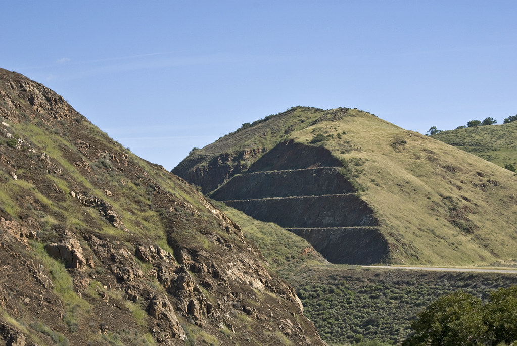 Willow SpringHiking · ~18 min drivePhoto: Damian Gadal, CC BY 2.0 (via Flickr)
- High Country TrailHiking · ~21 min drivePhoto: Damian Gadal, CC BY 2.0 (via Flickr)
 walk pathHiking · ~22 min drivePhoto: Damian Gadal, CC BY 2.0 (via Flickr)
- Horse Canyon - La Brea TrailHiking · ~18 min drive
- Kerry Canyon TrailHiking · ~7 min drive
- Maple Canyon TrailHiking · ~22 min drivePhoto: Damian Gadal, CC BY 2.0 (via Flickr)
Also worth it near here
Best time to visit Bear Canyon
Best months: Year-round. Best months have typical highs of 55–85 °F, lows of 30 °F or warmer (32 °F where the station doesn't record snow), at most one snowy day and no more than 12 wet days.
Jan
63° / 41°
8 wet
Feb
62° / 42°
8 wet
Mar
65° / 44°
8 wet
Apr
68° / 45°
5 wet
May
70° / 48°
2 wet
Jun
75° / 50°
1 wet
Jul
77° / 53°
0 wet
Aug
78° / 54°
1 wet
Sep
78° / 52°
1 wet
Oct
75° / 49°
3 wet
Nov
68° / 44°
5 wet
Dec
61° / 39°
8 wet
Typical high / low (°F) and days with rain or snow, 1991–2020. Measured at Twitchell Dam, CA, 11.3 mi away at 582 ft. The station sits about 800 ft lower than this place, so expect it a little cooler here. Source: NOAA NCEI U.S. Climate Normals 1991–2020.


