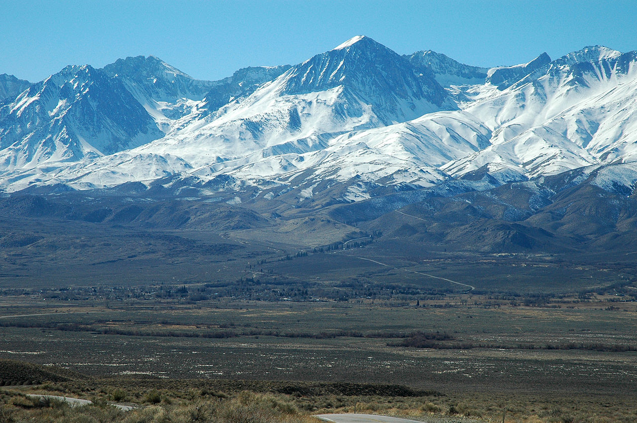
Figueroa Mountain
 Photo: Doc Searls from Santa Barbara, USA, CC BY 2.0 (via Wikimedia Commons)
- 4,528 ft
- summit
- Forest Service
- managed by
Is Figueroa Mountain open right now?
Alert in the area
The Forest Service lists 3 alerts for Los Padres National Forest.
Los Padres Fire Use and Firearm Restrictions
Agency alert covering Los Padres National Forest · Order 05-07-00-26-05 · USFS · Los Padres National Forest
Santa Barbara Front Country Fire Use Restrictions
Agency alert covering Los Padres National Forest · Order 05-07-5406-01 · USFS · Los Padres National Forest
West Cuesta Fire Use Restrictions
Agency alert covering Santa Lucia Ranger District · Order 05-07-53-24-19 · USFS · Santa Lucia Ranger District
As of · Source: USFS · Los Padres National Forest. Agencies don't list every closure — check before you go.
Figueroa Mountain is a summit of about 4,528 feet in Santa Barbara County, California, within the Santa Lucia Ranger District of Los Padres National Forest. The nearest town is Los Olivos, about 9 miles away, and the Forest Service manages the land. Several trails start close by, including the Pino Alto Nature Trail less than half a mile away and the Willow Spur Trail at about 0.7 miles. Davy Brown campground sits about 2 miles off, and Manzana Creek, a canoeing spot, is roughly 3.5 miles away.
Conditions and forecast
Daily highs and lows, wind and the chance of precipitation at the summit for the next 7 days, from the Open-Meteo model.
- Summit elevation
- 4,528 ft
- Land manager
- Forest Service
Elevation from USGS 3D Elevation Program terrain data (about 10 m resolution).
We don't know of a mapped trail or route to the summit of Figueroa Mountain. Plan the approach with local maps, a guidebook or a local guide, and check conditions before you go.
Questions about Figueroa Mountain
How tall is Figueroa Mountain?
4,528 ft (1,380 m).
Is there a trail to the top of Figueroa Mountain?
We don't know of a mapped trail or route to the summit. Plan the approach with local maps, a guidebook or a local guide.
- McKinley Mountain6,216 ft · California1 route8.5 mi away
- McPherson Peak5,749 ft · California1 route14 mi away
- Gaviota Peak2,457 ft · California1 route21 mi away
- Camuesa Peak3,178 ft · California1 route21 mi away
- Fox Mountain5,163 ft · California1 route22 mi away
 Madulce Peak6,537 ft · California1 route23 mi awayPhoto: U.S. Forest Service-Los Padres National Forest, Public domain (via Wikimedia Commons)
 Pino Alto Nature TrailHikingPhoto: Damian Gadal, CC BY 2.0 (via Wikimedia Commons)0.4 mi
- Willow Spur TrailHikingPhoto: Damian Gadal, CC BY 2.0 (via Wikimedia Commons)0.7 mi
 Willow Spring (Figueroa)HikingPhoto: Damian Gadal, CC BY 2.0 (via Wikimedia Commons)0.7 mi
 Fir Canyon Davy BrownHikingPhoto: Damian Gadal, CC BY 2.0 (via Wikimedia Commons)1.2 mi
- Davy BrownCamping2 mi
- NiraCamping3.3 mi
- Manzana CreekCanoeing3.5 mi
 Sisquoc RiverCanoeingPhoto: Unknown historical, Public domain (via Wikimedia Commons)6.8 mi
Source: Roamze catalog (indexable pages within 10 miles, PostGIS distance)
 Little Pine MountainSummit · ~29 min drivePhoto: Ymblanter, CC BY-SA 3.0 (via Wikimedia Commons)
 Big Pine MountainSummit · ~33 min drivePhoto: Clinton Steeds from Los Angeles, USA, CC BY 2.0 (via Wikimedia Commons)
- Madulce PeakSummit · ~39 min drivePhoto: U.S. Forest Service-Los Padres National Forest, Public domain (via Wikimedia Commons)
 Caliente MountainSummit · ~41 min drivePhoto: Antandrus at English Wikipedia, CC BY-SA 3.0 (via Wikimedia Commons)
 La Cumbre PeakSummit · ~40 min drivePhoto: Antandrus at English Wikipedia, CC BY-SA 3.0 (via Wikimedia Commons)
 Sawmill MountainSummit · ~1h 20m drivePhoto: Cygnus (talk), CC BY 3.0 (via Wikimedia Commons)
- McKinley MountainSummit · ~14 min drive
- McPherson PeakSummit · ~24 min drive
- Camuesa PeakSummit · ~37 min drive
- Fox MountainSummit · ~38 min drive
Also worth it near here
 Pino AltoMountain biking · Next doorPhoto: Damian Gadal, CC BY 2.0 (via Wikimedia Commons)
- Willow Spur TrailHiking · ~1 min drivePhoto: Damian Gadal, CC BY 2.0 (via Wikimedia Commons)
- Sisquoc RiverCanoeing · ~12 min drivePhoto: Unknown historical, Public domain (via Wikimedia Commons)
 Cachuma Lake Recreation AreaCamping · ~20 min drivePhoto: bdearth — CC BY 2.0 (via Flickr)
