Lone Wolf Colony Health Ranch & RV Park
Campground
Campground · 4.9 mi from the trail
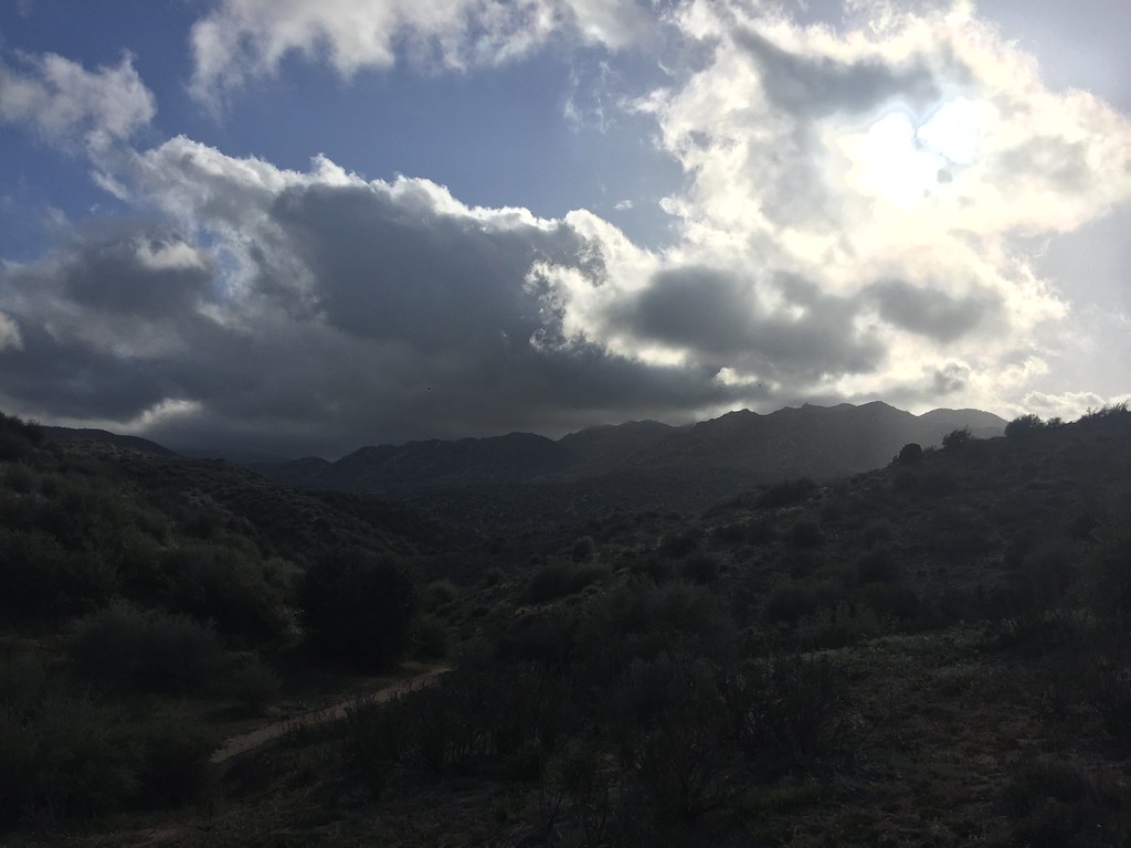
Bass Hill Trail is a short, easy hike in California, about 1.6 miles from the town of Sunset Hills. The trail is an out-and-back route that covers roughly 0.8 miles, with a total elevation gain of about 237 feet. The climb is steady, and the steepest part comes early, around 0.15 miles from the start, where the grade reaches about 10 percent. Spring and fall are the most comfortable times to go. Typical averages from a nearby weather station in Victorville show April highs around 73°F and October highs around 79°F, while July and August average in the upper 90s. Climbers will find several areas about 5 miles away, including Cosmic Crag, South Park and South Dome. The Tangelo Trail is a hike about 8.5 miles off.
Lone Wolf Colony Health Ranch & RV Park
Campground
Los Alazanes Mexican Food
Restaurant
 If it rainsSanfel, CC BY-SA 4.0 · Wikimedia Commons
Places © OpenStreetMap contributors · Photos: Sanfel, CC BY-SA 4.0 (commons)
More in Lucerne ValleyDaily highs and lows, wind and the chance of precipitation at the summit and route start for the next 7 days, from the Open-Meteo model.
Source: Roamze catalog (indexable pages within 10 miles, PostGIS distance)
 Hot Springs Goat TrailHiking · ~20 min drivePhoto: Jim Tighe RiverNude, Public Domain Mark (via Flickr)
 Bradford Ridge PathHiking · ~24 min drivePhoto: Rainhead, CC BY-SA 2.0 (via Flickr)
 MetateHiking · ~27 min drivePhoto: USFWS Pacific Southwest Region, Public Domain Mark (via Flickr)Hot SpringsHiking · ~20 min drivePhoto: Jim Tighe RiverNude, Public Domain Mark (via Flickr)Metate / Rock CampHiking · ~27 min drivePhoto: USFWS Pacific Southwest Region, Public Domain Mark (via Flickr)Toll RoadHiking · ~28 min drivePhoto: USFWS Pacific Southwest Region, Public Domain Mark (via Flickr)
Best months: October–May. Best months have typical highs of 55–85 °F, lows of 30 °F or warmer (32 °F where the station doesn't record snow), at most one snowy day and no more than 12 wet days.
Jan
58° / 33°
4 wet
Feb
61° / 36°
4 wet
Mar
67° / 40°
4 wet
Apr
73° / 44°
2 wet
May
81° / 51°
1 wet
Jun
91° / 58°
0 wet
Jul
98° / 64°
1 wet
Aug
97° / 63°
1 wet
Sep
91° / 58°
1 wet
Oct
79° / 47°
1 wet
Nov
67° / 38°
2 wet
Dec
57° / 32°
4 wet
Typical high / low (°F) and days with rain or snow, 1991–2020. Measured at Victorville, CA, 4.3 mi away at 2,880 ft. Source: NOAA NCEI U.S. Climate Normals 1991–2020.
About 0.4 mi round trip.
About 237 ft of climbing round trip.
It is rated easy.
About 0 hours round trip.
Map and trail data © OpenStreetMap contributors

