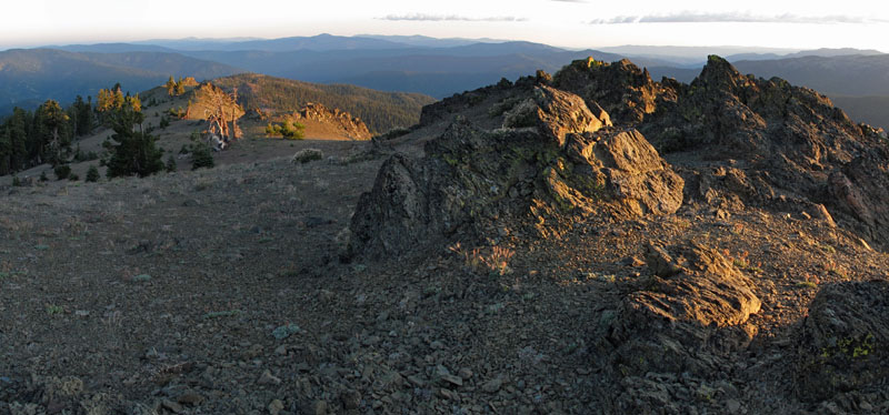
Barker Camp Tie
- 2.2 mi
- round trip
- 659 ft
- climb
- 7,024 ft
- high point
- Out and back
- route
Is Barker Camp Tie open right now?
Closure in the area
There's a closure order in Shasta-Trinity National Forest. It doesn't name Barker Camp Tie, so check the source for the area it covers (2 listed).
Mud and Ash Creek Area and Road Closure
Agency closure covering Shasta-Trinity National Forest · Order 14-26-13 · USFS · Shasta-Trinity National Forest
Road Closure on Wild Mad Road
Agency closure covering Shasta-Trinity National Forest · Order 14-25-09 · USFS · Shasta-Trinity National Forest
Trout Creek Bridge Closure Order
Agency alert covering Shasta-Trinity National Forest · Order 14-26-02 · USFS · Shasta-Trinity National Forest
South Fork Suspension Bridge Closure
Agency alert covering Shasta-Trinity National Forest · Order 14-25-30 · USFS · Shasta-Trinity National Forest
Ah-Di-Na Area Closure
Agency alert covering Shasta-Trinity National Forest · Order 14-25-10 · USFS · Shasta-Trinity National Forest
As of · Source: USFS · Shasta-Trinity National Forest. Agencies don't list every closure — check before you go.
Barker Camp Tie is an easy hike of about 2.2 miles in the Yolla Bolly-Middle Eel Wilderness, part of the Yolla Bolla Ranger District of Shasta-Trinity National Forest in California. The trail is a natural-surface out-and-back that climbs from about 6,360 feet to about 7,024 feet, with a total gain of roughly 660 feet. The route lies within designated wilderness, and the Forest Service manages the land. Bikes are not allowed on this trail. Several other destinations sit close by. Cold Fork Ridge is about 0.6 miles away, and North Yolla Bolly Lake and South Fork Cottonwood Creek are each about 1.2 miles off. Rat Trap Gap (trailhead) is about 1.3 miles away.
- Cold Fork RidgeHiking0.6 mi
- North Yolla Bolly LakeHiking1.2 mi
- South Fork Cottonwood CreekHiking1.2 mi
- Rat Trap Gap (trailhead)Camping1.3 mi
- Post Creek Guard StationCamping3.6 mi
- South Fork Beegum CreekCanoeing4.8 mi
- Tomhead Saddle Cg-FCamping6.4 mi
- Buck CreekCanoeing6.8 mi
Source: Roamze catalog (indexable pages within 10 miles, PostGIS distance)
 Pettijohn TrailHiking · ~5 min drivePhoto: John Game, CC BY 2.0 (via Flickr)
- Black Rock MtnHiking · ~5 min drivePhoto: John Game, CC BY 2.0 (via Flickr)
- Cold Fork RidgeHiking · ~2 min drive
- Humboldt TrailHiking · ~11 min drive
- North Yolla BollyHiking · ~5 min drivePhoto: John Game, CC BY 2.0 (via Flickr)
- Black Rock LakeHiking · ~5 min drivePhoto: John Game, CC BY 2.0 (via Flickr)
- Brooks Tie TrailHiking · ~10 min drive
- Summit TrailHiking · ~11 min drive
 Brooks Ridge TrailHiking · ~9 min drivePhoto: Pacific Southwest Region 5, Public domain (via Wikimedia Commons)
 STAR MOUNTAIN RIDGEHiking · ~10 min drivePhoto: Pacific Southwest Region 5, Public domain (via Wikimedia Commons)