Skyline Group Cg
Campground
Campground · 0.6 mi from the trail
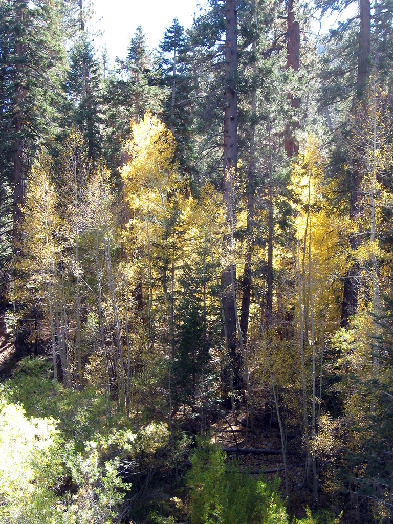 Photo: simonov, CC BY-SA 2.0 (via Flickr)
Caution at last check
Agency alerts are in effect for this area; weather is good · USFS, OpenWeather · checked 17 h ago
Closure in the area
There's a closure order in Mountaintop Ranger District. It doesn't name Aspen Grove Trail, so check the source for the area it covers.
Radford Fire Closure Area
Agency closure covering Mountaintop Ranger District · Order 05-12-52-24-06 · USFS · Mountaintop Ranger District
Safety Alert - Falling Rocks at Bonita Falls
Agency alert covering San Bernardino National Forest · USFS · San Bernardino National Forest
Fire Restrictions
Agency alert covering San Bernardino National Forest · Order 05-12-00-26-05 · USFS · San Bernardino National Forest
As of · Source: USFS · Mountaintop Ranger District. Agencies don't list every closure — check before you go.
Aspen Grove Trail is a 2.2-mile moderate hike in the Mountaintop Ranger District of San Bernardino National Forest, managed by the Forest Service. The trail is an out-and-back that starts at about 6,850 feet and climbs to roughly 7,390 feet, with a total gain of about 1,050 feet over the round trip. The climb is front-loaded, with the steepest stretch at about 0.7 miles in, where the grade reaches about 13%. Late spring and early fall are the most comfortable times to go. Typical averages from the nearby Big Bear Lake weather station show May highs around 66°F and September highs around 73°F, with July the warmest month at about 80°F. That station sits about 600 feet lower than the trail's high point, so temperatures on the ridge run a little cooler. Heart Bar Campground and the Wildhorse Creek hike are each about a mile away, and the Santa Ana River Trail is about 1.1 miles off. For fishing, the Oso Group is about 3.7 miles away.
Skyline Group Cg
Campground
Places © OpenStreetMap contributors
More in Desert Hot SpringsWildhorse CreekHikingPhoto: simonov, CC BY-SA 2.0 (via Flickr)1 mi Heart Bar CampgroundCampingPhoto: Recreation.gov (RIDB) / public domain1 mi
 Santa Ana River TrailMountain bikingPhoto: Basar, CC BY-SA 3.0 (via Wikimedia Commons)1.1 mi
 San GorgonioSaltwater fishing3.9 mi
Source: Roamze catalog (indexable pages within 10 miles, PostGIS distance)
Wildhorse CreekHiking · ~2 min drivePhoto: simonov, CC BY-SA 2.0 (via Flickr) Aspen GroveHiking · ~4 min drivePhoto: Vahe Martirosyan, CC BY-SA 2.0 (via Flickr)
 Grinnell MountainHiking · ~4 min drivePhoto: rmceoin, CC BY 2.0 (via Flickr)
 FORSEE CREEKHiking · ~9 min drivePhoto: inkknife_2000 (7.5 million views +), CC BY-SA 2.0 (via Wikimedia Commons)
 Santa Ana River TrailHiking · ~3 min drivePhoto: inkknife_2000 (7.5 million views +), CC BY-SA 2.0 (via Wikimedia Commons)
 Lodgepole TrailHiking · ~5 min drivePhoto: simonov, CC BY-SA 2.0 (via Flickr)
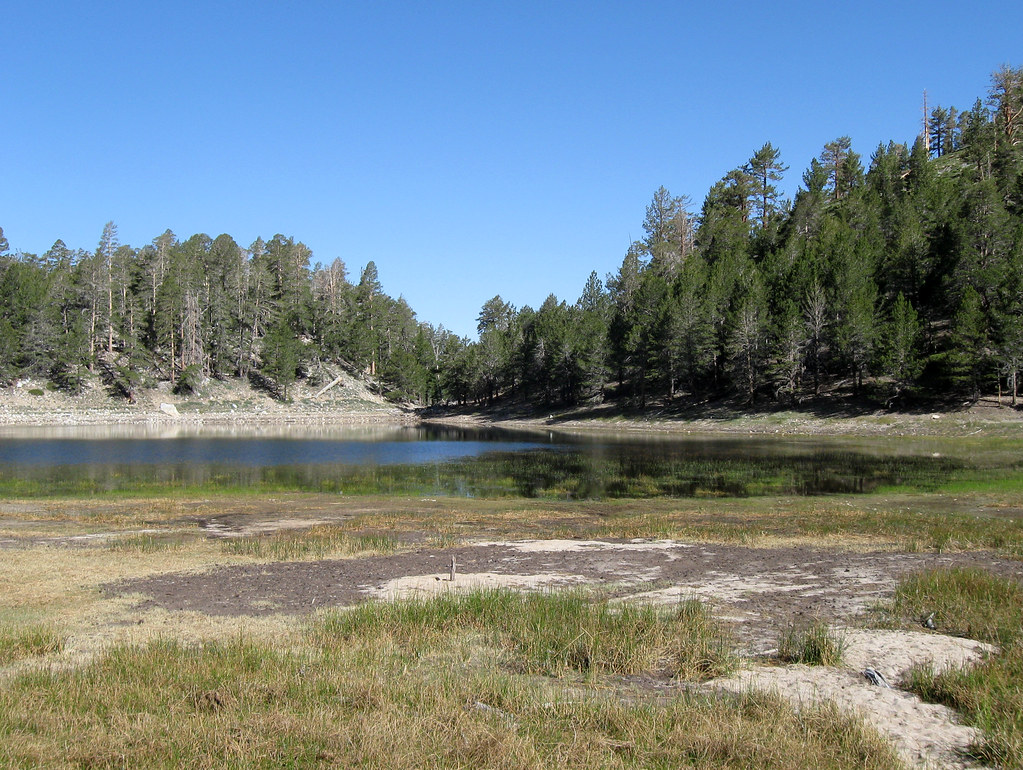 LodgepoleHiking · ~5 min drivePhoto: simonov, CC BY-SA 2.0 (via Flickr)
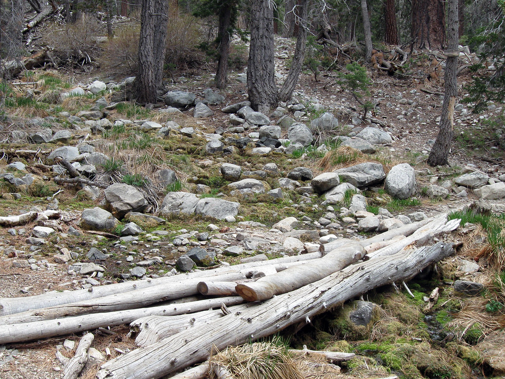 Dry LakeHiking · ~5 min drivePhoto: simonov, CC BY-SA 2.0 (via Flickr)SANTA ANA RIVER TRAIL A SPURHiking · ~5 min drivePhoto: inkknife_2000 (7.5 million views +), CC BY-SA 2.0 (via Wikimedia Commons)
Best months: May–October. Best months have typical highs of 55–85 °F, lows of 30 °F or warmer (32 °F where the station doesn't record snow), at most one snowy day and no more than 12 wet days.
Jan
46° / 24°
6 wet
Feb
46° / 24°
6 wet
Mar
51° / 27°
6 wet
Apr
57° / 31°
4 wet
May
66° / 37°
2 wet
Jun
75° / 43°
1 wet
Jul
80° / 50°
2 wet
Aug
79° / 49°
3 wet
Sep
73° / 44°
2 wet
Oct
63° / 35°
2 wet
Nov
53° / 28°
3 wet
Dec
46° / 24°
6 wet
Typical high / low (°F) and days with rain or snow, 1991–2020. Measured at Big Bear Lake, CA, 8.9 mi away at 6,753 ft. The station sits about 600 ft lower than this place, so expect it a little cooler here. This station doesn't record snowfall. Source: NOAA NCEI U.S. Climate Normals 1991–2020.
Map and trail data © OpenStreetMap contributors

