Heart Bar Campground
Campground
Campground · 0.3 mi from the trail
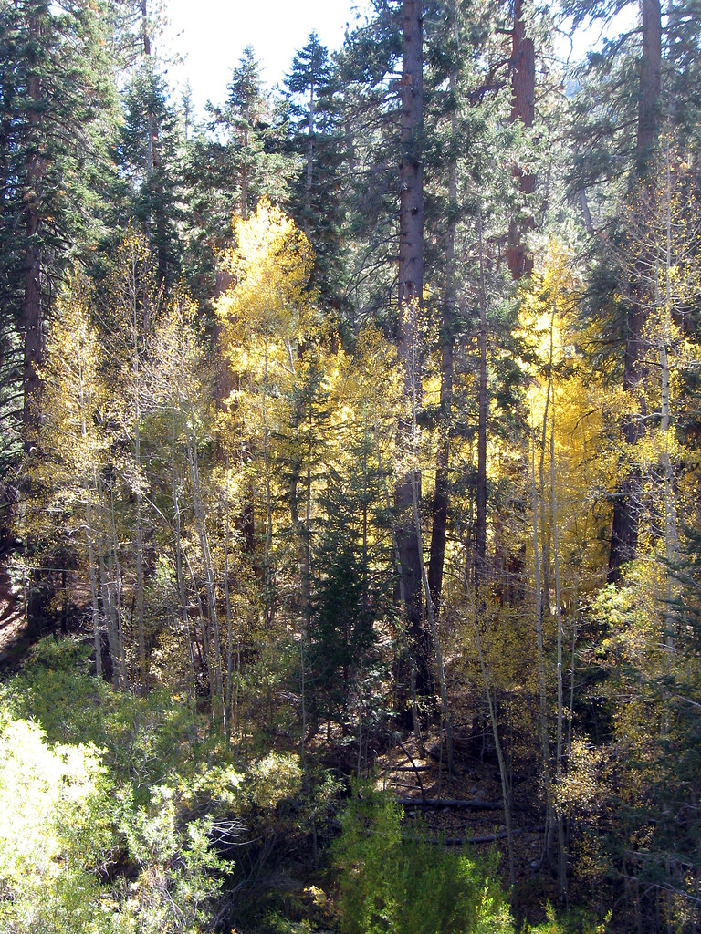 Photo: simonov, CC BY-SA 2.0 (via Flickr)
Closure in the area
There's a closure order in Mountaintop Ranger District. It doesn't name Wildhorse Creek, so check the source for the area it covers.
Radford Fire Closure Area
Agency closure covering Mountaintop Ranger District · Order 05-12-52-24-06 · USFS · Mountaintop Ranger District
Safety Alert - Falling Rocks at Bonita Falls
Agency alert covering San Bernardino National Forest · USFS · San Bernardino National Forest
Fire Restrictions
Agency alert covering San Bernardino National Forest · Order 05-12-00-26-05 · USFS · San Bernardino National Forest
As of · Source: USFS · Mountaintop Ranger District. Agencies don't list every closure — check before you go.
Wildhorse Creek is a hard hike in the Mountaintop Ranger District of San Bernardino National Forest in California, about 7.8 miles long with a one-way elevation gain of 2,372 feet. The trail is an out-and-back that starts at a low point of 6,819 feet and climbs to a high point of 8,969 feet. The route is natural-surfaced and accessible, according to the Forest Service's trail records. That makes it a viable option for hikers with mobility needs, though the climb is steep and the distance is long. Heart Bar Campground and Heart Bar Equestrian sit just 0.3 miles away, so they are the natural base for an overnight stay. The Santa Ana River Trail is 0.7 miles off, and the Aspen Grove Trail is about a mile away.
Heart Bar Campground
Campground
Places © OpenStreetMap contributors
More in Desert Hot Springs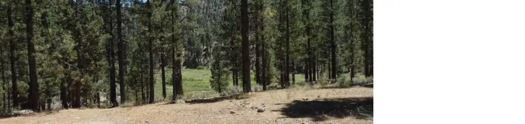 Heart Bar CampgroundCampingPhoto: Recreation.gov (RIDB) / public domain0.3 mi
 Santa Ana River TrailMountain bikingPhoto: Basar, CC BY-SA 3.0 (via Wikimedia Commons)0.7 miAspen Grove TrailHikingPhoto: simonov, CC BY-SA 2.0 (via Flickr)1 mi
 San GorgonioSaltwater fishing4.6 mi
Source: Roamze catalog (indexable pages within 10 miles, PostGIS distance)
 Santa Ana River TrailHiking · ~4 min drivePhoto: inkknife_2000 (7.5 million views +), CC BY-SA 2.0 (via Wikimedia Commons)
 Aspen GroveHiking · ~4 min drivePhoto: Vahe Martirosyan, CC BY-SA 2.0 (via Flickr)
 Grinnell MountainHiking · ~6 min drivePhoto: rmceoin, CC BY 2.0 (via Flickr)
 FORSEE CREEKHiking · ~11 min drivePhoto: inkknife_2000 (7.5 million views +), CC BY-SA 2.0 (via Wikimedia Commons)
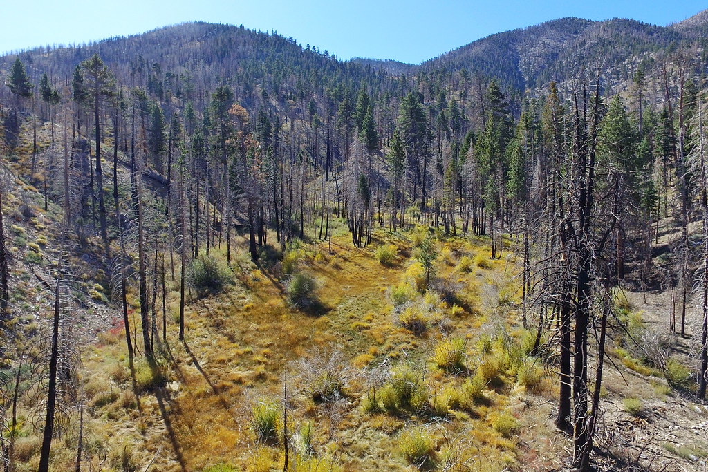 Fish CreekHiking · ~5 min drivePhoto: Vahe Martirosyan, CC BY-SA 2.0 (via Flickr)
 Wildhorse TrailHiking · ~6 min drivePhoto: InSapphoWeTrust from Los Angeles, California, USA, CC BY-SA 2.0 (via Wikimedia Commons)
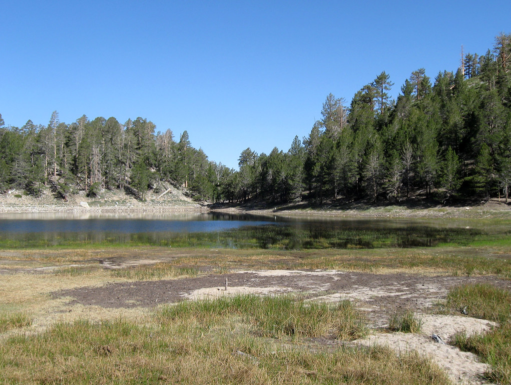 LodgepoleHiking · ~6 min drivePhoto: simonov, CC BY-SA 2.0 (via Flickr)
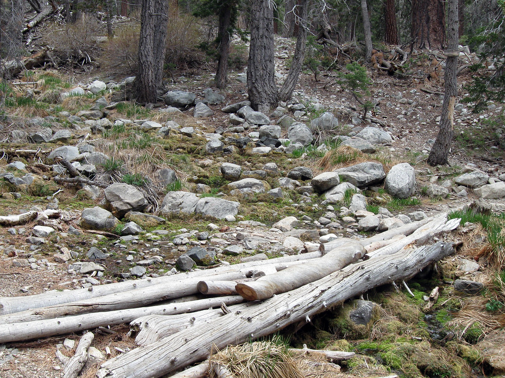 Dry LakeHiking · ~7 min drivePhoto: simonov, CC BY-SA 2.0 (via Flickr)SANTA ANA RIVER TRAIL A SPURHiking · ~6 min drivePhoto: inkknife_2000 (7.5 million views +), CC BY-SA 2.0 (via Wikimedia Commons)Rattlesnake CreekHiking · ~7 min drivePhoto: inkknife_2000 (7.5 million views +), CC BY-SA 2.0 (via Wikimedia Commons)
