Tom Lucas Trail Camp
Campground
Campground · 4.4 mi from the trail
Alert in the area
The Forest Service lists 7 alerts for Angeles National Forest.
Rincon-Redbox Road (2N24) Closure
Agency alert covering Angeles National Forest · Order 05-01-26-13 · USFS · Angeles National Forest
Fire Danger Level Elevated to "Very High"
Agency alert covering Angeles National Forest · USFS · Angeles National Forest
San Gabriel Canyon OHV Area Prohibitions
Agency alert covering Angeles National Forest · Order 05-01-26-09 · USFS · Angeles National Forest
San Dimas Experimental Forest Closure
Agency alert covering Angeles National Forest · USFS · Angeles National Forest
Eaton Fire Area Closure
Agency alert covering Angeles National Forest · Order 05-01-26-04 · USFS · Angeles National Forest
As of · Source: USFS · Angeles National Forest. Agencies don't list every closure — check before you go.
Akens Truck Trail is a short, easy out-and-back hike in the Los Angeles Gateway Ranger District of Angeles National Forest, managed by the Forest Service. The trail is about 2.2 miles long, with a total elevation gain of 569 feet, and it starts at roughly 3,398 feet, reaching a high point of about 3,855 feet before returning to the trailhead. The climb is front-loaded, with the steepest stretch coming at about 0.38 miles in, where the grade reaches 19%. The trail is rated easy, and the trip takes about an hour. Several other trails sit within a short drive. Graveyard Truck Trail (Rim of the Valley Trail) is about 1.1 miles away, and Fascination Springs Trail and Ebey Canyon Trail are each about 1.2 miles off. For an overnight stay, Gould Mesa campground is about 6.9 miles away.
Tom Lucas Trail Camp
Campground
Link N Hops
Restaurant
 If it rainsDoncram, CC BY-SA 3.0 · Wikimedia Commons
Historic American Craftsman era stone building in Tujunga, Los Angeles County, California
Places © OpenStreetMap contributors · Photos: Doncram, CC BY-SA 3.0 (commons)
More in Acton Big Tujunga CreekCanoeingPhoto: MajaTrochimczyk, CC BY 3.0 us (via Wikimedia Commons)5.1 mi
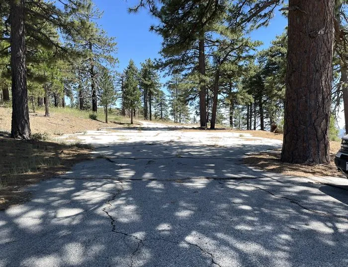 Lightning Point Group CampgroundCampingPhoto: Recreation.gov (RIDB) / public domain8.8 mi
Source: Roamze catalog (indexable pages within 10 miles, PostGIS distance)
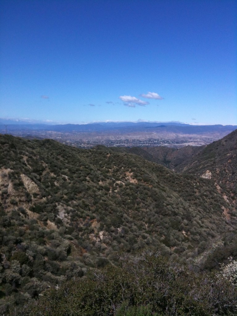 BoulderHiking · ~3 min drivePhoto: Stiggs13, CC BY 2.0 (via Flickr)
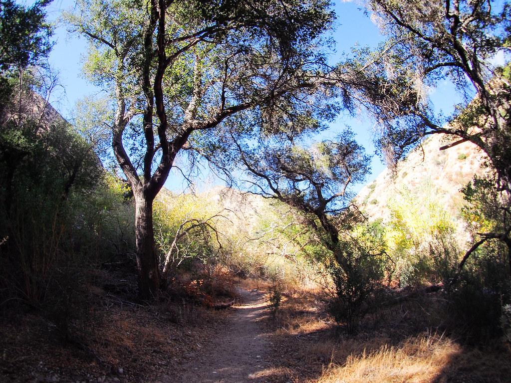 Gold Canyon Trail (UNMAINTAINED)Hiking · ~4 min drivePhoto: JingKe888, CC BY 2.0 (via Flickr)
 Trail Canyon TrailHiking · ~5 min drivePhoto: JingKe888, CC BY 2.0 (via Flickr)
 Le Mesnager Loop TrailHiking · ~7 min drivePhoto: mjhbower, CC BY-SA 2.0 (via Flickr)Oak Springs TrailHiking · ~4 min drivePhoto: Stiggs13, CC BY 2.0 (via Flickr)
 Pickens TrailHiking · ~8 min drivePhoto: mjhbower, CC BY-SA 2.0 (via Flickr)
 Dunsmore Canyon TrailHiking · ~8 min drivePhoto: mjhbower, CC BY-SA 2.0 (via Flickr)
 Sister Elsie TrailHiking · ~5 min drivePhoto: mjhbower, CC BY-SA 2.0 (via Flickr)Coyote's TrailHiking · ~7 min drivePhoto: mjhbower, CC BY-SA 2.0 (via Flickr)
Also worth it near here
 Yerba Buena Truck TrailMountain biking · ~1 min drivePhoto: MajaTrochimczyk, CC BY 3.0 us (via Wikimedia Commons)
 Mount LukensSummit · ~7 min drivePhoto: Doc Searls from Santa Barbara, USA, CC BY 2.0 (via Wikimedia Commons)Big Tujunga CreekCanoeing · ~9 min drivePhoto: MajaTrochimczyk, CC BY 3.0 us (via Wikimedia Commons)
Map and trail data © OpenStreetMap contributors
