Gould Mesa
Campground
Campground · 2.6 mi from the trail
 Photo: mjhbower, CC BY-SA 2.0 (via Flickr)
Le Mesnager Loop Trail is a short, easy hike in the Deukmejian Wilderness in California, on city-managed land. The route is out and back, about 1.5 miles long, with the high point at 2,844 feet and the low at 2,534 feet. The trail is rolling and climbs roughly 512 feet round trip, with the steepest stretch at about 0.56 miles in. That puts the steepest grade around 17%, so plan for a gentle but not flat walk. The trail sits close to several other routes. Crescenta View Trail starts just 0.1 mile away, and Rim of the Valley Trail and Coyote's Trail are each about 0.2 mile off. For an overnight stay, Gould Mesa campground is about 2.6 miles away.
Gould Mesa
Campground
 If it rainsDoncram, CC BY-SA 3.0 · Wikimedia Commons
Historic American Craftsman era stone building in Tujunga, Los Angeles County, California
Places © OpenStreetMap contributors, Places © Overture Maps Foundation · Photos: Doncram, CC BY-SA 3.0 (commons)
More in Acton Crescenta View TrailHikingPhoto: mjhbower, CC BY-SA 2.0 (via Flickr)0.1 miRim of the Valley TrailHikingPhoto: mjhbower, CC BY-SA 2.0 (via Flickr)0.2 miCoyote's TrailHikingPhoto: mjhbower, CC BY-SA 2.0 (via Flickr)0.2 mi
 Big Tujunga CreekCanoeingPhoto: MajaTrochimczyk, CC BY 3.0 us (via Wikimedia Commons)3.4 mi
Source: Roamze catalog (indexable pages within 10 miles, PostGIS distance)
Crescenta View TrailHiking · Next doorPhoto: mjhbower, CC BY-SA 2.0 (via Flickr)Dunsmore Canyon TrailHiking · ~1 min drivePhoto: mjhbower, CC BY-SA 2.0 (via Flickr) Pickens TrailHiking · ~3 min drivePhoto: mjhbower, CC BY-SA 2.0 (via Flickr)
 Gabrielino TrailHiking · ~8 min drivePhoto: Pintsmasher, CC BY 3.0 (via Wikimedia Commons)Rim of the Valley TrailHiking · Next doorPhoto: mjhbower, CC BY-SA 2.0 (via Flickr)
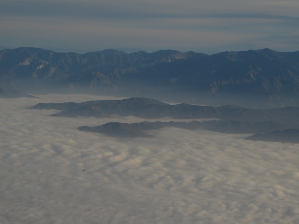 Verdugo Crest TrailHiking · ~5 min drivePhoto: Ken Lund, CC BY-SA 2.0 (via Flickr)
 Trail Canyon TrailHiking · ~7 min drivePhoto: JingKe888, CC BY 2.0 (via Flickr)
 Old Mt Lukens TrailHiking · ~2 min drivePhoto: mjhbower, CC BY-SA 2.0 (via Flickr)
 Old Dark Canyon TrailHiking · ~5 min drivePhoto: Henrik Kibak, CC BY 4.0 (via Wikimedia Commons)Dark Canyon TrailHiking · ~7 min drivePhoto: Henrik Kibak, CC BY 4.0 (via Wikimedia Commons)
Also worth it near here
 Mount LukensSummit · ~2 min drivePhoto: Doc Searls from Santa Barbara, USA, CC BY 2.0 (via Wikimedia Commons)Big Tujunga CreekCanoeing · ~6 min drivePhoto: MajaTrochimczyk, CC BY 3.0 us (via Wikimedia Commons)
Map and trail data © OpenStreetMap contributors
