Woolstaff Meadow Trail
- 12.8 mi
- round trip
- 4,809 ft
- climb
- 7,158 ft
- high point
- Out and back
- route
Woolstaff Meadow Trail is an expert-level out-and-back hike in California on Bureau of Land Management land within the Ridgecrest Field Office. The route is about 25.6 miles long, with a total climb of roughly 4,809 feet and a high point around 7,158 feet. The trail starts at about 5,223 feet and reaches its highest point at about 7,158 feet. The steepest stretch comes at around mile 9.6, where the grade reaches about 20%, and the climb is rolling rather than a single, sustained ascent. That makes it a long, steady challenge. Several other trails lie within a short drive. Eastern Trail (TR 49) is about 3.5 miles away, Burning Moscow Trail (TR 23) is about 3.7 miles away, and Deer Canyon Trail (TR 4) and Dry Meadow Trail are both within about 4.5 miles.
- Eastern Trail (TR 49)Hiking3.5 mi
- Burning Moscow Trail (TR 23)Hiking3.7 mi
- Deer Canyon Trail (TR 4)Hiking4 mi
- Dry Meadow TrailHiking4.5 mi
- Western Trail (TR 831)Hiking4.7 mi
- BBQ Heaven Trail (TR 8)Hiking4.8 mi
- Steve Springs TrailHiking5.1 mi
- Trophy Trail TR132Hiking5.1 mi
Source: Roamze catalog (indexable pages within 10 miles, PostGIS distance)
 Landers Meadow TrailHiking · ~9 min drivePhoto: RuggyBearLA, CC BY 2.0 (via Flickr)
 Twisty Trail (TR 41)Hiking · ~11 min drivePhoto: RuggyBearLA, CC BY 2.0 (via Flickr)
- Lookout TrailHiking · ~12 min drivePhoto: RuggyBearLA, CC BY 2.0 (via Flickr)
- Burning Moscow Trail (TR 23)Hiking · ~6 min drive
- Eastern Trail (TR 49)Hiking · ~6 min drive
- Deer Canyon Trail (TR 4)Hiking · ~7 min drive
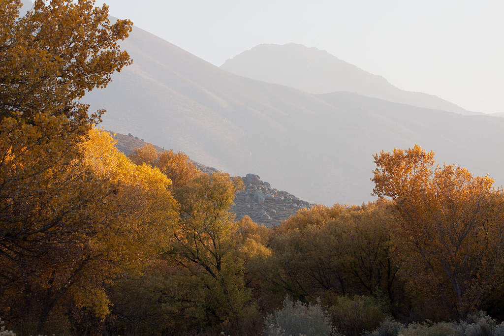 Nature TrailHiking · ~20 min drivePhoto: David~O, CC BY 2.0 (via Flickr)
- Liebel Peak TrailHiking · ~14 min drive
- Dry Meadow TrailHiking · ~8 min drive
- Air Raid Trail (TR 9)Hiking · ~9 min drive
Map and trail data © OpenStreetMap contributors
