
South Fork Campground
Campground
5.0 mi from the trail
The Cinnamon Gap-Case Mt-Oak Grove route is a short out-and-back hike on Bureau of Land Management land in California's Bakersfield Field Office, about 0.66 miles long with a total elevation gain of 303 feet. The trail rises from a low point of 6,254 feet to a high of 6,578 feet, and the climb is gentle enough that the trip is easily done in a single outing. The route is open to both horses and bikes, so riders and pack animals can go along. It makes a good addition to a day of exploring the surrounding area, whether you're planning a longer ride, a trail run or a climb. Summer is the most comfortable time to visit. Typical averages from the nearby Lodgepole weather station show July and August highs around 76°F with lows in the mid-40s and only a couple of wet days a month. Winter brings highs in the upper 30s and regular snow days from December through March. Danland, a climbing area, lies about 2.4 miles away, and Left Side is about 3.2 miles off. Within roughly 6 miles are the Entrance Station River hike and Potwisha Campground.
Where it is: Bakersfield Field Office
Near: Visalia
Best months: June–October. Best months have typical highs of 55–85 °F, lows of 30 °F or warmer (32 °F where the station doesn't record snow), at most one snowy day and no more than 12 wet days.
Jan
39°
17°
9 wet · 8 snow
Feb
41°
18°
10 wet · 8 snow
Mar
45°
22°
10 wet · 8 snow
Apr
50°
26°
8 wet · 5 snow
May
58°
33°
5 wet · 2 snow
Jun
68°
40°
3 wet
Jul
76°
46°
2 wet
Aug
76°
44°
2 wet
Sep
70°
39°
2 wet
Oct
59°
31°
4 wet · 1 snow
Nov
47°
23°
6 wet · 4 snow
Dec
37°
17°
8 wet · 6 snow
Typical high / low (°F) and days with rain or snow, 1991–2020. Measured at Lodgepole, CA, 14 mi away at 6,735 ft. Source: NOAA NCEI U.S. Climate Normals 1991–2020.
Been here? Tell people how it was.
 Entrance Station RiverHikingPhoto: daveynin, CC BY 2.0 (via Flickr)5.4 mi
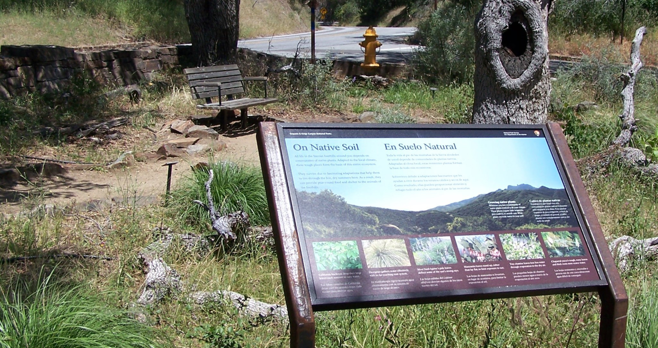 On Native SoilHiking5.5 mi
 Shepherd SaddleHikingPhoto: randomduck, CC BY-SA 2.0 (via Flickr)5.7 mi
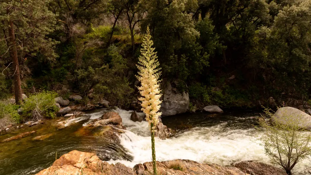 Potwisha CampgroundCampingPhoto: Recreation.gov (RIDB) / public domain7.3 miEntrance Station RiverHikingPhoto: daveynin, CC BY 2.0 (via Flickr)~9 min driveShepherd SaddleHikingPhoto: randomduck, CC BY-SA 2.0 (via Flickr)~10 min drive
 Potwisha-Middle ForkHikingPhoto: ogwen, CC BY-SA 3.0 (via Wikimedia Commons)~12 min drivePotwisha-Hospital RockHikingPhoto: ogwen, CC BY-SA 3.0 (via Wikimedia Commons)~12 min drive
 Devils CanyonHikingPhoto: npdoty, CC BY 2.0 (via Flickr)~13 min drive
Daily highs and lows, wind and the chance of precipitation at Start for the next 7 days, from the Open-Meteo model.
Questions about 16026: Cinnamon Gap-Case Mt-Oak Grove Usgs Case Mt: conditions, access, timing. Answers say when something isn't known.
South Fork Campground
Campground
 If it rainsDavid Fulmer, CC BY 2.0 · Wikimedia Commons
Giant Forest Museum
Museum
Places © OpenStreetMap contributors, Places © Overture Maps Foundation · Photos: David Fulmer, CC BY 2.0 (commons)
More in Silver CityNot on Roamze yet. Their page has how to reach them.
