Loading…

Free — you'll pick up right here.
Watch this trail
Sign up to watch it — saving subscribes you to gate, closure and report changes.
California
3,112 ft
Gain
We won't guess. Here is exactly what we do and don't know.
What we do know
Inside Sequoia National Park
National Park unit boundary is mapped — agency alerts for it feed this page automatically.
Boundary data
What's missing
No access route mapped
We don't yet know which road reaches this trailhead, so we can't tell you if it's gated.
Nobody's filed a report here yet — be the first.
Why you'll love it
Marble Falls Trailhead
AI-suggested draft · review before you go
No permit or access details on file for this trail — check with the local land manager before you go.
<p>This trailhead orientation panel shows a map and images of the Marble Falls Trail area.<br /> <br /> This trail climbs 3.1 miles one-way at a moderate incline through the chaparral scrubland, ending at a waterfall cascade.<br /> <br /> Park near site #14 at Potwisha Campground and follow the dirt road across the concrete ditch. The trail starts along the steep bank to the right. Additional parking available across the Generals Highway in the Potwisha Overflow Parking Lot.</p> <h3>Community Science</h3> <p>Water is essential for life to thrive in the hot, dry foothills, but can sometimes be challenging to find. In the springtime, streams and creeks swell to high levels as snowmelt makes its way down towards the Central Valley. Once the snow has melted, however, water levels drop significantly. By late summer, many water sources dry up completely. Inconsistent snowpack from year to year makes it difficult to predict what resources will be available for the parks' flora and fauna. By tracking water levels over time, park scientists can better understand this unique landscape.<br /> <br /> Are you interested in exploring watersheds in the Foothills? Join a park ranger at any point in the year to collect data as a community scientist. In order to be sensitive to the plants and animals that call these streams home, group sizes are limited to a maximum of 6 participants. Individuals with an interest in a longer-term volunteer commitment are encouraged to reach out.<br /> <br /> Call Sequoia and Kings Canyon National Parks' Education Office at 559-565-4211 or email seki_ritc@nps.gov for more information.</p>
Hospital Rock River Trailhead
~3 min drive
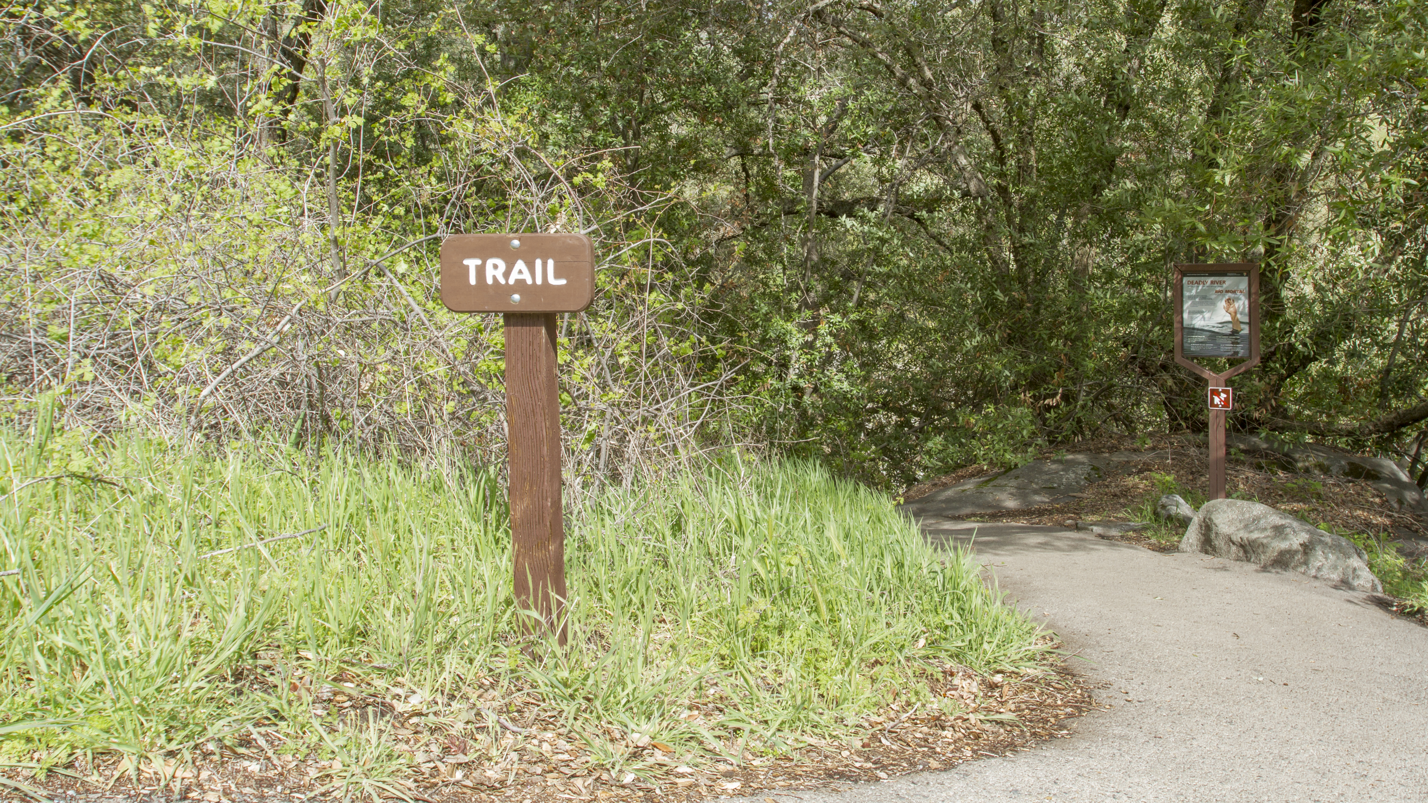
<p>A short steep downhill climb will lead you to the Kaweah River, which is one of the most scenic spots in all of the foothill region of the park. The water can be dramatic especially during spring and early summer when the snow is melting.</p> <h4>Safety </h4> <p>Be careful…
Stony Creek
~18 min drive
Moderate 7-mile creek trail with 2,500 ft elevation gain.
On Native Soil
~4 min drive
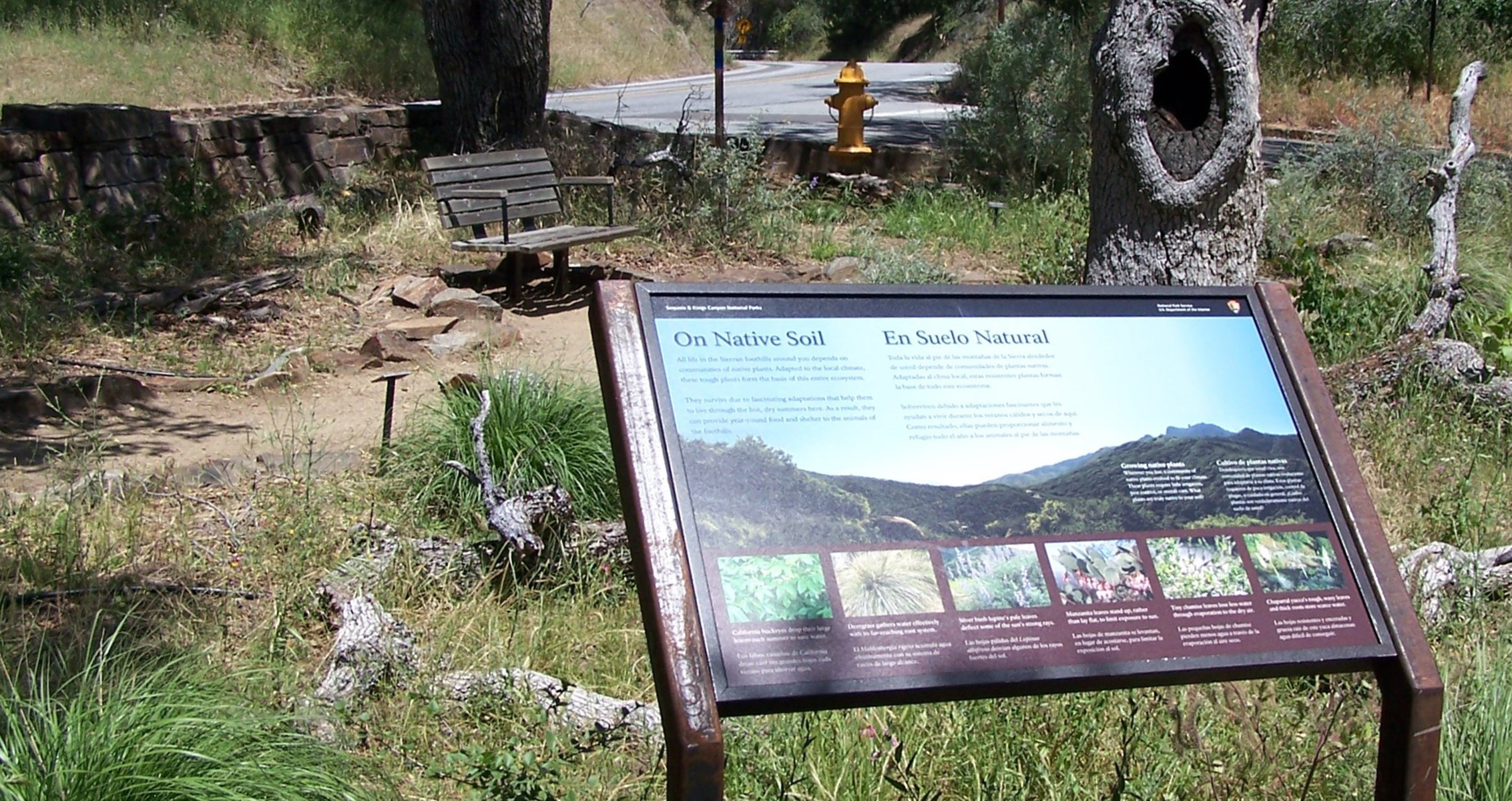
<p>This exhibit, titled "On Native Soil," shows the plants that flourish in the foothills.<br /> <br /> This exhibit is located next to the Foothills VIsitor Center, where restrooms, drinking water, a payphone, and other amenities are found.</p>
Jennie Lake
~22 min drive
Moderate Sierra alpine lake hike with steady elevation gain and scenic views.
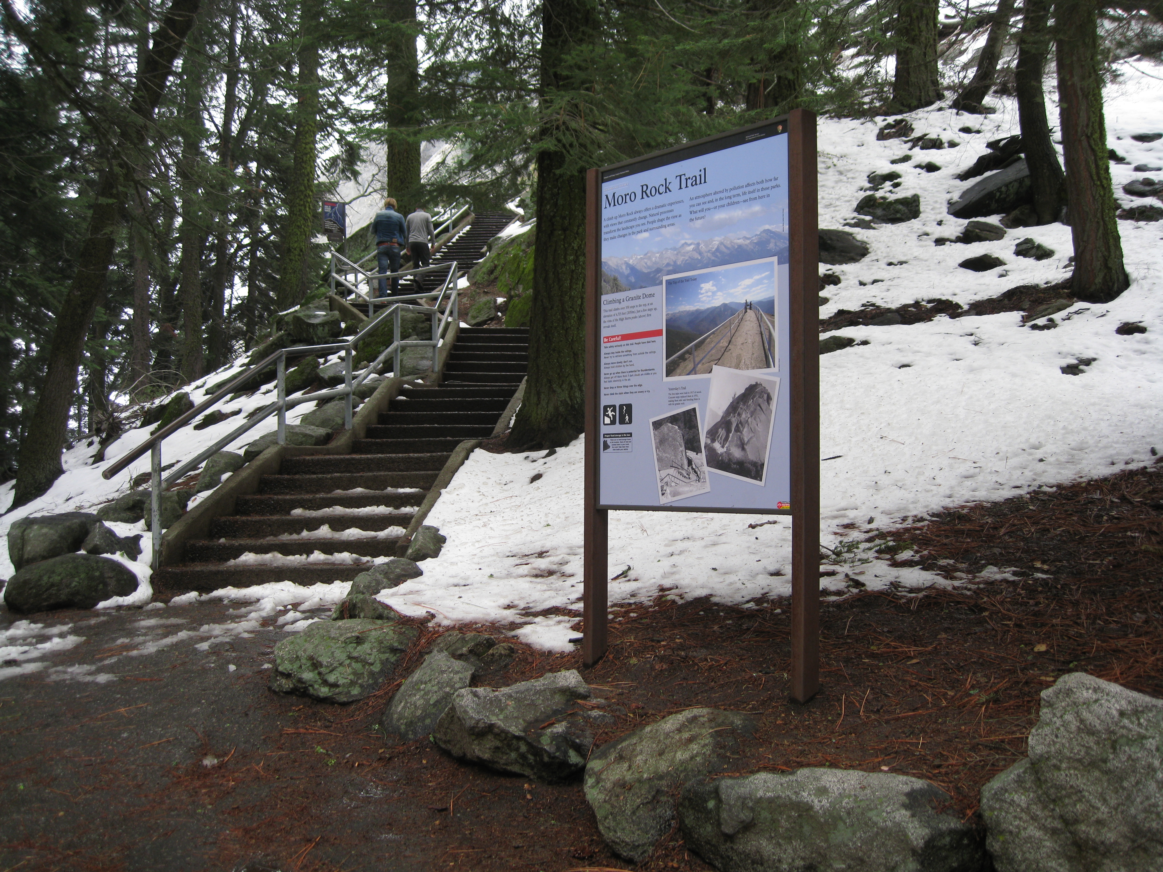
Moro Rock Trailhead
~5 min drive
<p>Welcome to one of the most popular and spectacular hikes in these parks. To reach the top of this granite dome, take the stairway that climbs up 300 feet (.09 km) to the 6,275 ft (2,050 km) summit.<br /> <br /> At the top is a spectacular 360° view from the Great Western Di…
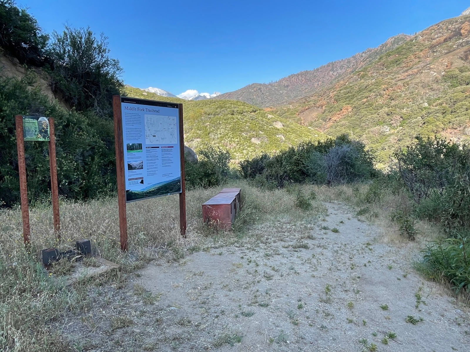
Middle Fork Trailhead
~5 min drive
<p>This trailhead orientation panel shows a map and photos of the Middle Fork area.<br /> <br /> In fall 2021, the KNP Complex Wildfire burned much of the surrounding area. While wilderness permits are available for this area, if you enter here, nearby exit points may be close…
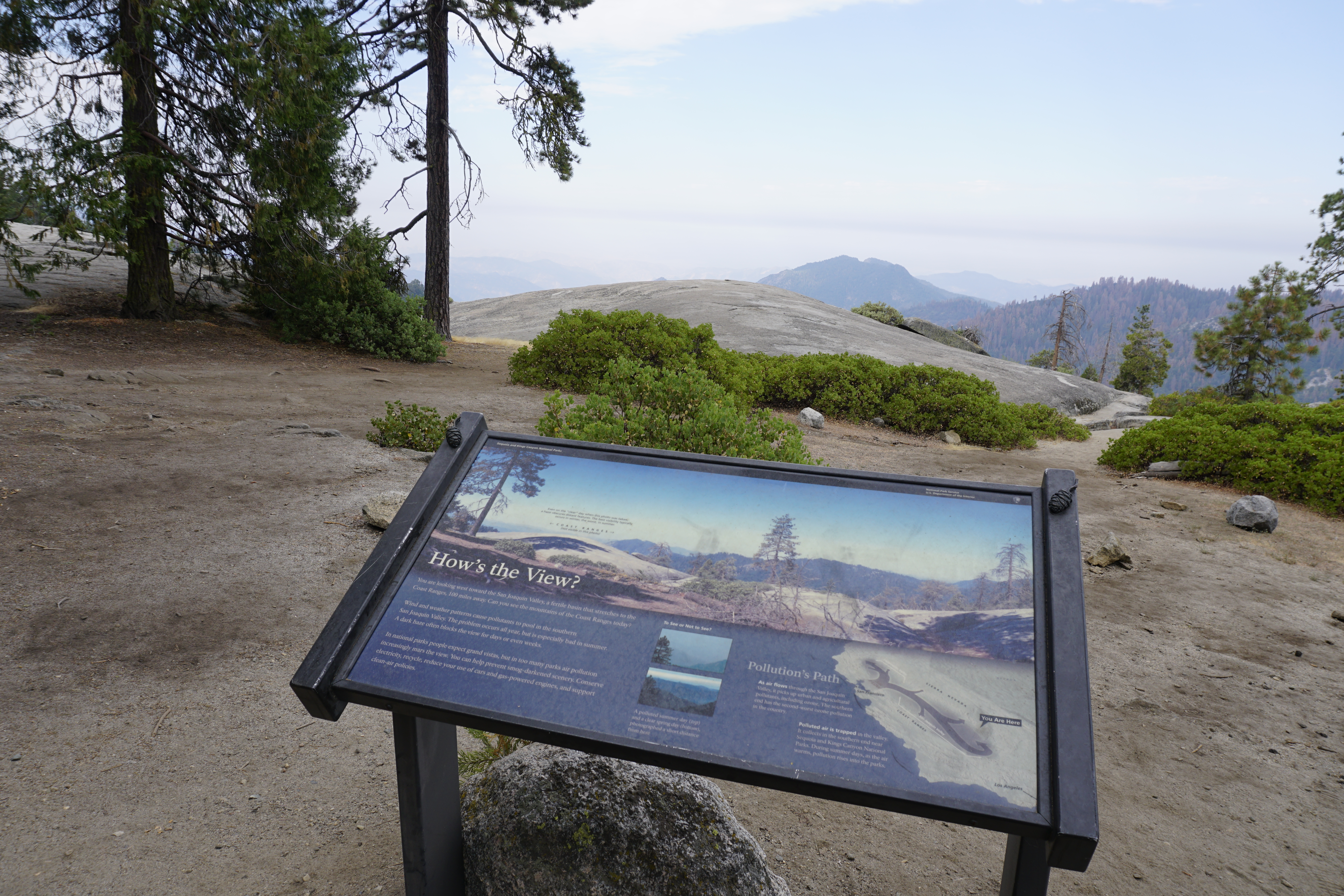
How's the View?
~6 min drive
<p>This wayside exhibit, titled "How's the View?," shows the weather patterns that cause pollution in the valley.</p>
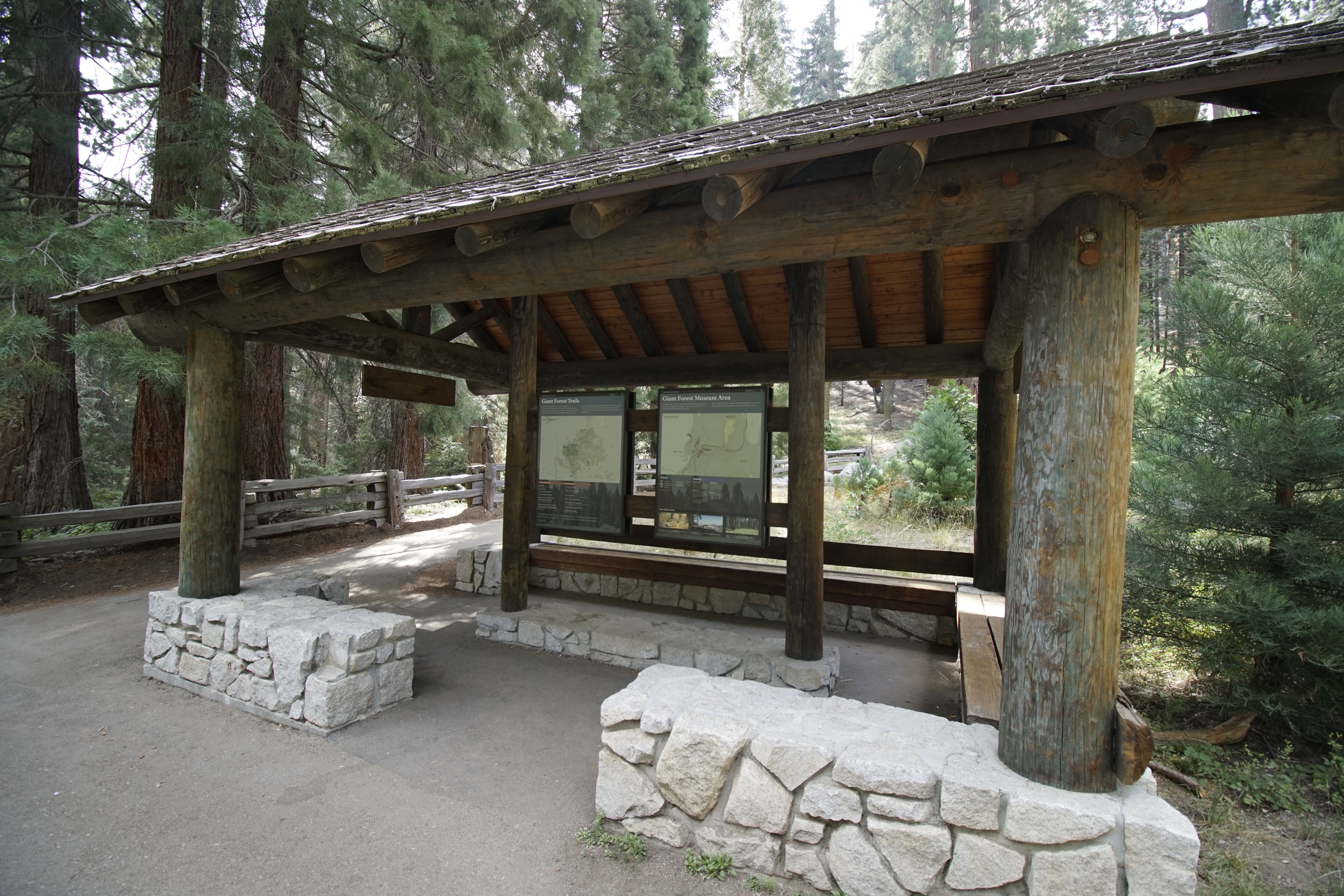
Giant Forest Museum Trail Center
~6 min drive
<p>Trails from here can lead you past the giant trees and lush meadows in this sequoia grove, whether you are an experienced hiker who wants to see miles of the parks or you would just like a gentle half-hour walk. Trails in this area can be confusing. We recommend purchasing…
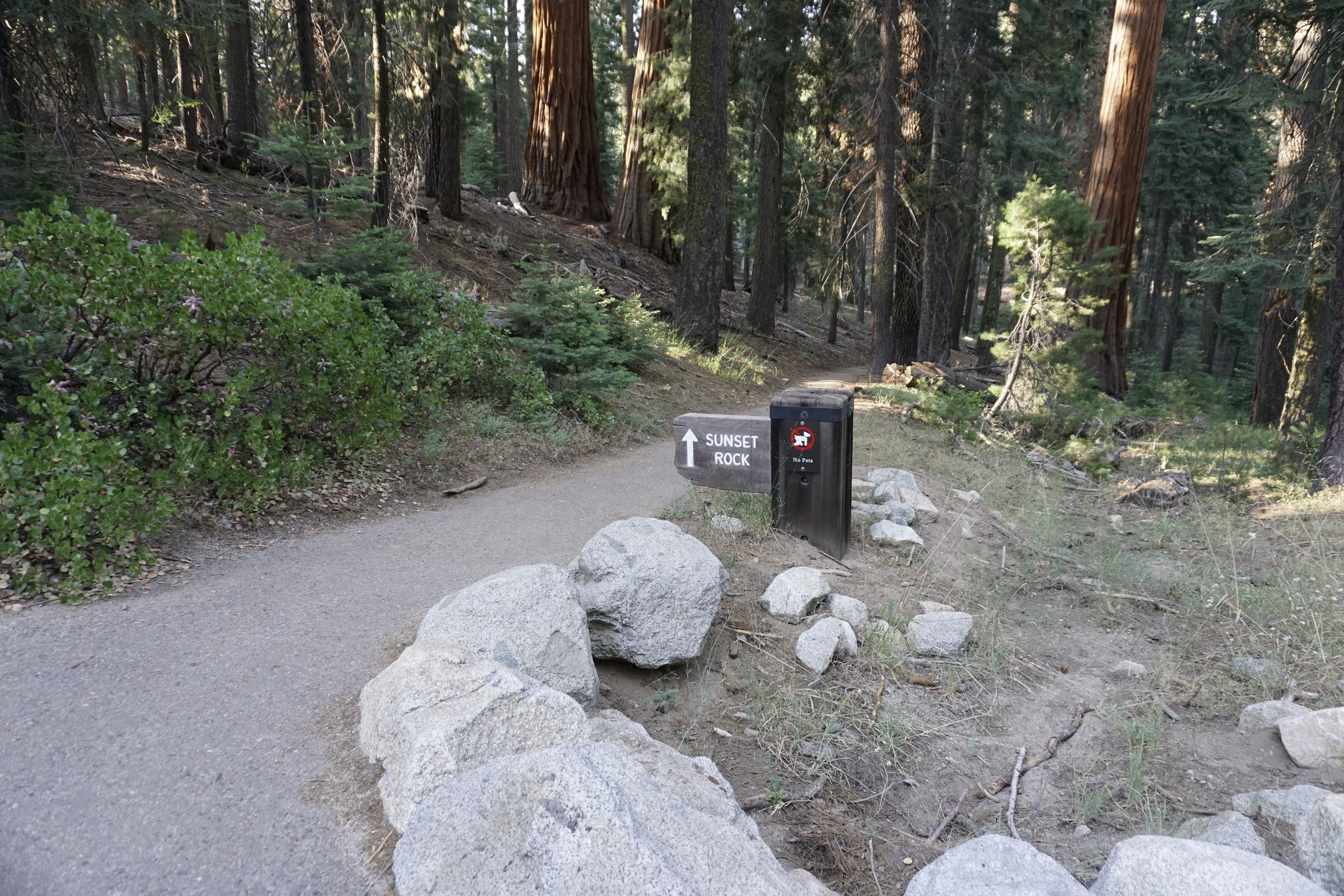
Sunset Rock Trailhead
~6 min drive
<p>The trail to Sunset Rock offers a great path for wandering through the Giant Forest, even if you only go a short way. Peaceful spots along the way provide spots to relax. Families with small children may enjoy spending time here.<br /> <br /> If you go all the way to Sunset…
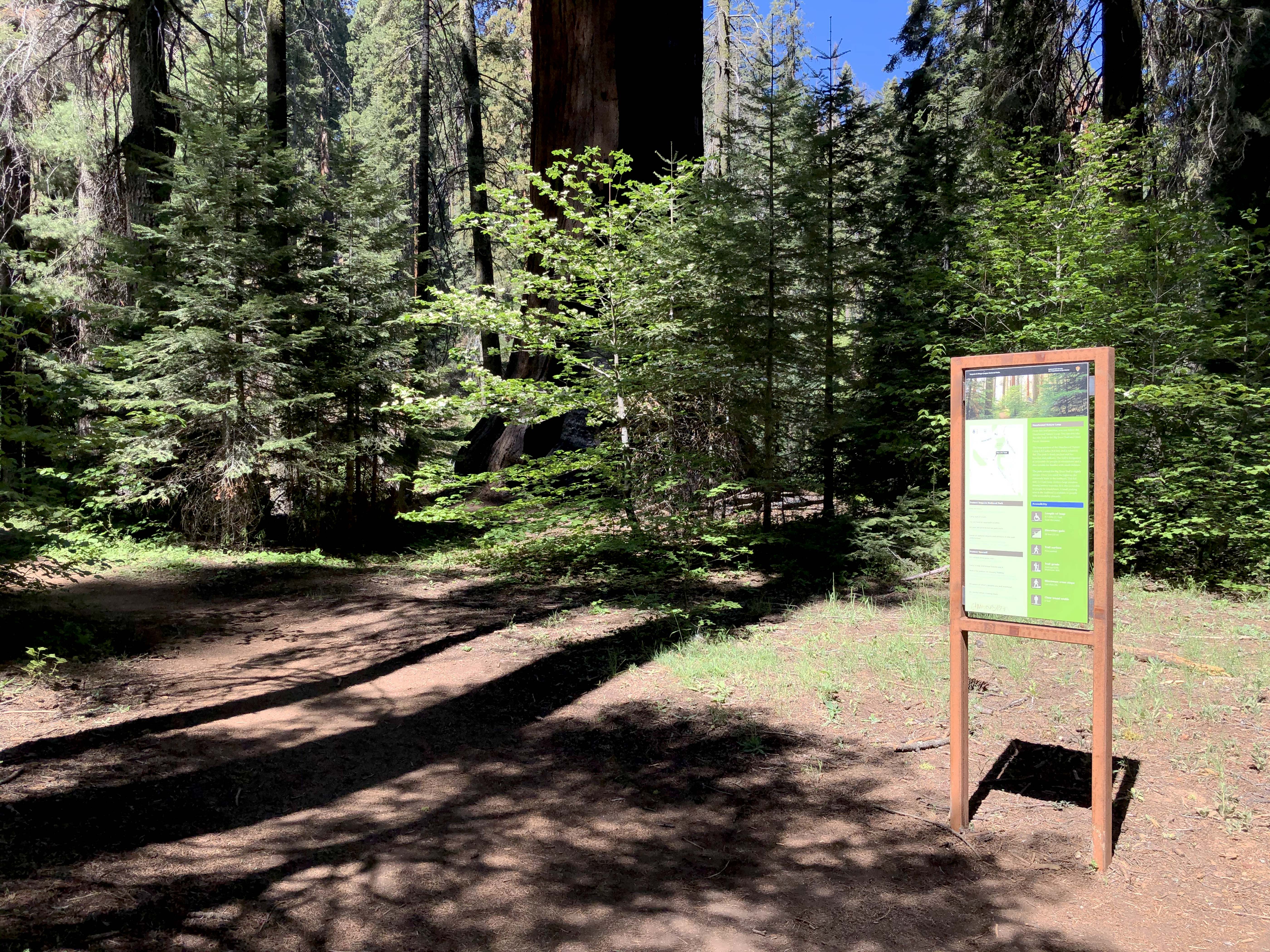
Hazelwood Nature Trail-Alta Trail Junction
~6 min drive
This trailhead sign includes a map indicating the junction of the Hazelwood Nature Trail Loop with the Alta Trail, which heads west towards the Giant Forest Museum.