Free — you'll pick up right here.
Watch this water
Sign up to watch it — saving subscribes you to gate, closure and report changes.
California
Shasta Lake Area
No verdict for this water
We won't guess. Here is exactly what we do and don't know.
What we do know
Inside Shasta-Trinity National Forest
2 managing-area boundaries mapped — agency alerts for them feed this page automatically.
Boundary data
What's missing
No access route mapped
We don't yet know which road reaches this trailhead, so we can't tell you if it's gated.
Nobody's filed a report here yet — be the first.
Why you'll love it
Here's your day on the water, mapped
Shasta Lake Area
AI-suggested draft · review before you go
Gear for the day
Photos
Directions & GPX
About this water
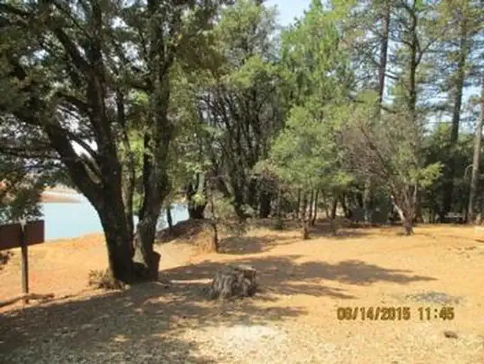
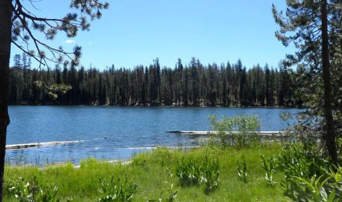
** Due to fluctuating water levels on Shasta Lake, visitors are encouraged to contact the Shasta Recreation Company (concessionaire to the Forest Service) @ 530-275-8113 or the Shasta-Triinity National Forest, Shasta Lake Ranger Station at (530) 275-1587 for possible temporary campground closures. **The Shasta Unit is one of three units that comprise the Whiskeytown - Shasta-Trinity National Recreation Area. It was established by Congress in 1965. These areas were recognized for their unique and varied recreation potential. Shasta Lake forms the core of the Shasta Unit and offers recreationist a variety of outdoor activities including: boating, water-skiing, swimming, fishing, camping, picnicking, hiking, hunting, and mountain biking.The Shasta Lake Unit and the Shasta Lake Boating Safety maps are availble at no charge through this website and in our offices.For information on purchasing the Shasta-Trinity National Forest map as well as many other National Forest maps, please browse to the Maps & Publications page.Interpretive programs are offered at the Antlers Amphitheater during the summer months and are free to the public. For locations and times, please contact the Shasta Recreation Company (concessionaire to the Forest Service) @ 530-275-8113.
Add to a trip & share
Keep exploring — more waters worth the drive
Alpine View Campground
~54 min drive
A worthwhile stop near California.
Dekkas Rock
~8 min drive
A worthwhile stop near California.
Bailey Cove
~17 min drive
A worthwhile stop near California.
Whiskey Creek Group Picnic Area (Whiskeytown NRA)
~47 min drive
A worthwhile stop near California.
Pit River Campground
~60 min drive
A worthwhile stop near California.
Ackerman Campground
~57 min drive
A worthwhile stop near California.
Moore Creek
~6 min drive
A worthwhile stop near California.
Nelson Point
~18 min drive
A worthwhile stop near California.
DRY CREEK GROUP CAMPGROUND (Whiskeytown NRA)
~50 min drive
A worthwhile stop near California.
Blue Lake
~37 min drive
A worthwhile stop near California.
