Chirpchatter Cg-F
- Apr–May, Oct–Nov
- best months
Is Chirpchatter Cg-F open right now?
Closure in the area
There's a closure order in Shasta-Trinity National Forest. It doesn't name Chirpchatter Cg-F, so check the source for the area it covers (2 listed).
Mud and Ash Creek Area and Road Closure
Agency closure covering Shasta-Trinity National Forest · Order 14-26-13 · USFS · Shasta-Trinity National Forest
Road Closure on Wild Mad Road
Agency closure covering Shasta-Trinity National Forest · Order 14-25-09 · USFS · Shasta-Trinity National Forest
Bailey Cove Road Closure Order
Agency alert covering Shasta-Trinity National Forest · Order 14-25-11 · USFS · Shasta-Trinity National Forest
Trout Creek Bridge Closure Order
Agency alert covering Shasta-Trinity National Forest · Order 14-26-02 · USFS · Shasta-Trinity National Forest
South Fork Suspension Bridge Closure
Agency alert covering Shasta-Trinity National Forest · Order 14-25-30 · USFS · Shasta-Trinity National Forest
As of · Source: USFS · Shasta-Trinity National Forest. Agencies don't list every closure — check before you go.
- At 1,300 ft
- Shasta Lake Ranger DistrictShasta-Trinity National Forest
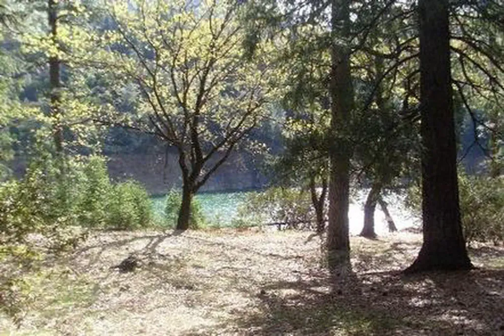
Chirpchatter Cg-F is a Forest Service campground in the Shasta Lake Ranger District of Shasta-Trinity National Forest in California. It sits within the national forest's ranger district, and the land is managed by the Forest Service. The site has vault toilets, and no fees are required to use it. That makes it a simple, low-cost base for an overnight stay in the forest. For comfortable weather, aim for late spring or early fall. Typical averages from the nearby Shasta Dam weather station show May highs around 79°F and October highs around 78°F, while July and August average in the mid-90s. Salt Creek, a canoeing spot, is less than a mile away. The Shasta Lake Area fishing grounds are about 3.5 miles off, and Madrone Cg-F and Moore Creek campgrounds are both within about 5 miles.
- Salt CreekCanoeing0.9 mi
- Shasta Lake AreaLake fishing3.5 mi
- Madrone Cg-FCamping4.1 mi
- DekkasHiking5.1 mi
 Moore CreekCampingPhoto: Recreation.gov (RIDB) / public domain5.2 mi
- Potem FallsHiking5.3 mi
- The Main WallRock climbing8.7 mi
- Approach WallRock climbing8.7 mi
Source: Roamze catalog (indexable pages within 10 miles, PostGIS distance)
- Moore CreekCamping · ~9 min drive
- Hirz Mt LookoutHut camping · ~12 min drive
- Hirz BayCamping · ~12 min drive
- Hirz Bay Cabin RentalHut camping · ~12 min drive
- Dekkas RockCamping · ~11 min drive
- Hirz Bay Group 1Camping · ~12 min drive
- Fenders FerryCamping · ~6 min drive
- Madrone CampgroundCamping · ~7 min drive
- Garden RidgeCamping · ~9 min drive
- Reynolds BasinCamping · ~10 min drive
Best time to visit Chirpchatter Cg-F
Best months: April–May and October–November. Best months have typical highs of 55–85 °F, lows of 30 °F or warmer (32 °F where the station doesn't record snow), at most one snowy day and no more than 12 wet days.
Jan
55° / 40°
14 wet
Feb
59° / 42°
13 wet
Mar
63° / 44°
13 wet
Apr
70° / 48°
10 wet
May
79° / 55°
8 wet
Jun
88° / 63°
3 wet
Jul
97° / 69°
1 wet
Aug
96° / 68°
1 wet
Sep
90° / 63°
2 wet
Oct
78° / 55°
5 wet
Nov
62° / 46°
10 wet
Dec
54° / 41°
13 wet
Typical high / low (°F) and days with rain or snow, 1991–2020. Measured at Shasta Dam, CA, 18.8 mi away at 1,075 ft. This station doesn't record snowfall. Source: NOAA NCEI U.S. Climate Normals 1991–2020.
