Free — you'll pick up right here.
Watch this water
Sign up to watch it — saving subscribes you to gate, closure and report changes.
California
Lake Tahoe - West Shore
No verdict for this water
We won't guess. Here is exactly what we do and don't know.
What we do know
Inside Lake Tahoe Basin Management Unit
National Forest boundary is mapped — agency alerts for it feed this page automatically.
Boundary data
What's missing
No access route mapped
We don't yet know which road reaches this trailhead, so we can't tell you if it's gated.
Nobody's filed a report here yet — be the first.
Why you'll love it
Here's your day on the water, mapped
Lake Tahoe - West Shore
AI-suggested draft · review before you go
Gear for the day
Photos
Directions & GPX
About this water
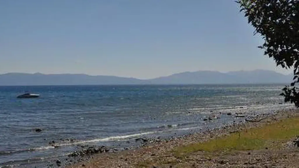
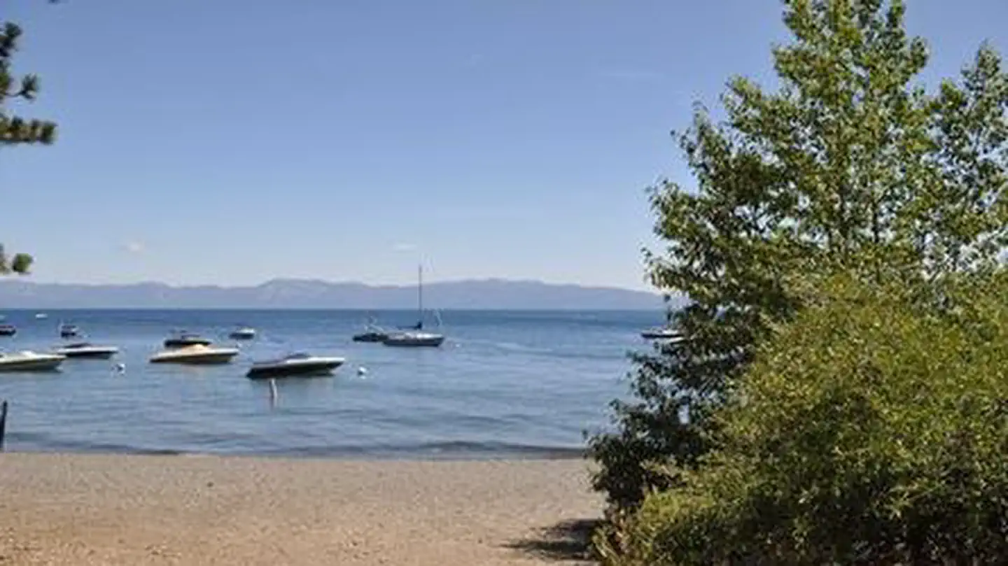
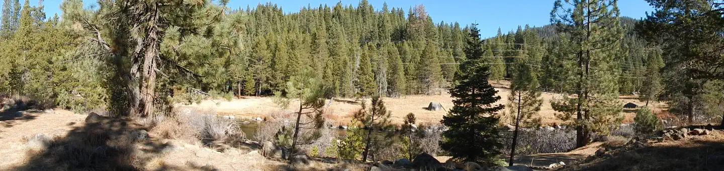
The west shore of Lake Tahoe is located on the California side of the lake. Highway 89 stretches along this side of the lake with access via Highway 50 to the south and Interstate 80 to the north. Recreational opportunities abound on the west shore where you will find water activities, camping, hiking, downhill skiing/snowboarding, cross-country skiing and snowshoeing. Attractions include nearby Squaw Valley USA, Alpine Meadows, Granite Chief Wilderness, Meeks Bay and Meeks Bay Resort, the Ehrman Mansion and access to the Rubicon Trail, one of the most popular OHV routes in the country.
Add to a trip & share
Keep exploring — more waters worth the drive
Kaspian Campground
~2 min drive
A worthwhile stop near California.
William Kent Campground
~4 min drive
A worthwhile stop near California.
Nevada Beach Campground
~26 min drive
A worthwhile stop near Nevada.
Wrights Lake Equestrian Campground
~32 min drive
A worthwhile stop near California.
Fallen Leaf Campground
~25 min drive
A worthwhile stop near California.
Red Fir
~18 min drive
A worthwhile stop near California.
Lake Tahoe - North Shore
~23 min drive
A worthwhile stop near California.
Lake Tahoe - South Shore
~28 min drive
A worthwhile stop near California.
Goose Meadows
~18 min drive
A worthwhile stop near California.
Loon Lake Chalet
~20 min drive
A worthwhile stop near California.

