Pyramid Lake - Emigrant Landing Day Use Area
- 151
- sites
- Oct–May
- best months
Is Pyramid Lake - Emigrant Landing Day Use Area open right now?
Alert in the area
The Forest Service lists 7 alerts for Angeles National Forest.
Rincon-Redbox Road (2N24) Closure
Agency alert covering Angeles National Forest · Order 05-01-26-13 · USFS · Angeles National Forest
Fire Danger Level Elevated to "Very High"
Agency alert covering Angeles National Forest · USFS · Angeles National Forest
San Gabriel Canyon OHV Area Prohibitions
Agency alert covering Angeles National Forest · Order 05-01-26-09 · USFS · Angeles National Forest
San Dimas Experimental Forest Closure
Agency alert covering Angeles National Forest · USFS · Angeles National Forest
Eaton Fire Area Closure
Agency alert covering Angeles National Forest · Order 05-01-26-04 · USFS · Angeles National Forest
As of · Source: USFS · Angeles National Forest. Agencies don't list every closure — check before you go.
- 151 sitesReservable on Recreation.gov
- At 2,577 ft
- Los Angeles Gateway Ranger DistrictAngeles National Forest
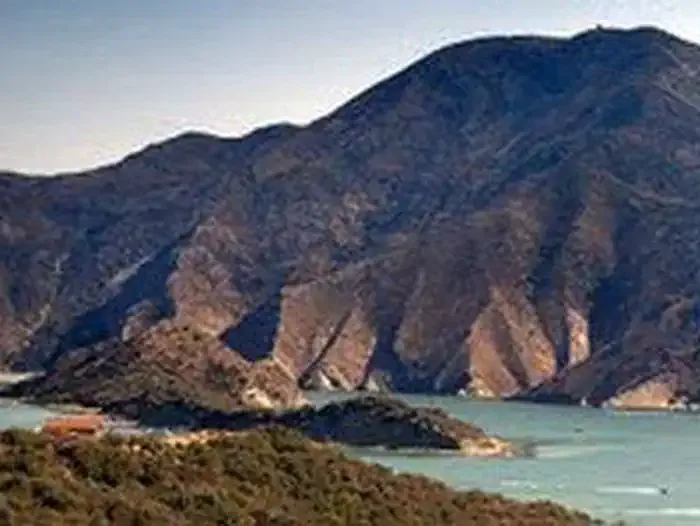
This facility does not accept reservations. Emigrant Landing is the largest day use recreation area on beautiful Pyramid Lake. Located just 90 minutes from Los Angeles, it is the perfect getaway without the long drive. Visitors enjoy all the lake has to offer, from boating, water skiing, wakeboarding, and fishing. A large sandy swim beach attracts hours of play. Large trees and shelters provide cooling shade. Water in Pyramid Lake takes a long journey from Plumas National Forest and Oroville Dam in northern California. An aqueduct carries the water down through the Tehachapi Mountains to its southern California resting point at Pyramid Lake.
 Pyramid Lake - Los Alamos CampgroundCampingPhoto: Recreation.gov (RIDB) / public domain0.1 mi
- Manzanita Trail (Saugus)Hiking0.8 mi
 Beartrail TrailHikingPhoto: Clotee Pridgen Alloc…, CC BY-SA 3.0 (via Wikimedia Commons)1.4 mi
- Slide Mountain TrailHiking1.6 mi
- Conglomerate Boulders (Templin boulders) - misc problemsRock climbing2.9 mi
- Conglomerate Boulders (Templin boulders)Rock climbing2.9 mi
- Oak FlatCamping4.3 mi
 Castaic CreekCanoeingPhoto: Albaum at English Wikipedia, Public domain (via Wikimedia Commons)6 mi
Source: Roamze catalog (indexable pages within 10 miles, PostGIS distance)
- Camp Verdugo OaksCamping · ~7 min drive
- Oak FlatCamping · ~7 min drive
- Los AlamosCamping · ~7 min drive
- Los Alamos Group CampgroundCamping · ~8 min drive
- HardluckCamping · ~9 min drive
- Lane Ranch CampgroundCamping · ~11 min drive
- Aliklik CampgroundCamping · ~13 min drive
- Cove CampsiteCamping · ~13 min drive
- ATV CampgroundCamping · ~13 min drive
- Saddle SkirtCamping · ~14 min drive
Also worth it near here
- Beartrail TrailHiking · ~2 min drivePhoto: Clotee Pridgen Alloc…, CC BY-SA 3.0 (via Wikimedia Commons)
- Emigrant Landing Boat RampBoat launch · ~4 min drive
 Dome MountainSummit · ~4 min drivePhoto: Mikejp211, CC BY-SA 4.0 (via Wikimedia Commons)
- Conglomerate Boulders (Templin boulders) - misc problemsRock climbing · ~5 min drive
Best time to visit Pyramid Lake - Emigrant Landing Day Use Area
Best months: October–May. Best months have typical highs of 55–85 °F, lows of 30 °F or warmer (32 °F where the station doesn't record snow), at most one snowy day and no more than 12 wet days.
Jan
56° / 38°
7 wet
Feb
58° / 39°
7 wet
Mar
63° / 43°
7 wet
Apr
68° / 46°
4 wet
May
76° / 53°
2 wet
Jun
86° / 62°
1 wet
Jul
92° / 68°
1 wet
Aug
93° / 68°
1 wet
Sep
88° / 62°
1 wet
Oct
77° / 53°
2 wet
Nov
65° / 44°
3 wet
Dec
55° / 37°
5 wet
Typical high / low (°F) and days with rain or snow, 1991–2020. Measured at Fairmont, CA, 19.6 mi away at 3,060 ft. This station doesn't record snowfall. Source: NOAA NCEI U.S. Climate Normals 1991–2020.
Pyramid Lake - Emigrant Landing Day Use Area
151 sites
