Little Jimmy
Campground
Campground · < 0.1 mi from the trail
Alert in the area
The Forest Service lists 7 alerts for Angeles National Forest.
Rincon-Redbox Road (2N24) Closure
Agency alert covering Angeles National Forest · Order 05-01-26-13 · USFS · Angeles National Forest
Fire Danger Level Elevated to "Very High"
Agency alert covering Angeles National Forest · USFS · Angeles National Forest
San Gabriel Canyon OHV Area Prohibitions
Agency alert covering Angeles National Forest · Order 05-01-26-09 · USFS · Angeles National Forest
San Dimas Experimental Forest Closure
Agency alert covering Angeles National Forest · USFS · Angeles National Forest
Eaton Fire Area Closure
Agency alert covering Angeles National Forest · Order 05-01-26-04 · USFS · Angeles National Forest
As of · Source: USFS · Angeles National Forest. Agencies don't list every closure — check before you go.
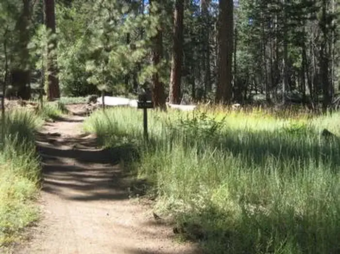
Little Jimmy is a backcountry campground in the San Gabriel Mountains National Monument Ranger District of Angeles National Forest, about 2 miles off the Angeles Crest Highway just above Crystal Lake. The Forest Service manages the land, and the site is set up for first-come, first-served stays. The seven sites come with picnic tables, fire rings and vault/composting toilets. Vintage backcountry ovens round out the basics, so you can bring your own supplies for a simple campfire meal. There are no fees to use the site. Spring and fall are the most comfortable times to go. Typical averages from the Wrightwood weather station, about 11 miles away, show May highs near 69°F and October highs around 64°F, with summer running into the low 80s. The Mt. Islip Trail starts just 0.3 miles away, and the Big Cienega Trail and South Hawkins Trail are within a mile. Deer Flat campground is about 1.1 miles off.
Little Jimmy
Campground
Warming Hut
Restaurant
 If it rainsThomas Ormston from Darmstadt, Germany, CC BY 2.0 · Wikimedia Commons
Aviation museum in Palmdale, California, United States
Places © OpenStreetMap contributors · Photos: Thomas Ormston from Darmstadt, Germany, CC BY 2.0 (commons)
More in Acton Mt. Islip TrailHikingPhoto: mjhbower, CC BY-SA 2.0 (via Flickr)0.3 mi
 Big Cienega TrailHikingPhoto: mjhbower, CC BY-SA 2.0 (via Flickr)0.8 miSouth Hawkins TrailHikingPhoto: mjhbower, CC BY-SA 2.0 (via Flickr)1 mi
 Deer Group CampCampingPhoto: Recreation.gov (RIDB) / public domain1.2 mi
 San Gabriel RiverCanoeingPhoto: Emarateyya, Muna Al Zaabi, CC BY-SA 3.0 (via Wikimedia Commons)8.4 mi
Source: Roamze catalog (indexable pages within 10 miles, PostGIS distance)
Also worth it near here
Mt. Islip TrailHiking · Next doorPhoto: mjhbower, CC BY-SA 2.0 (via Flickr) Mount IslipSummit · ~1 min drivePhoto: Eeekster, CC BY 3.0 (via Wikimedia Commons)
 Windy Gap TrailMountain biking · ~1 min drivePhoto: Daniel Guo, CC BY-SA 3.0 (via Wikimedia Commons)
 London WallRock climbing · ~5 min drivePhoto: RuggyBearLA, CC BY 2.0 (via Flickr)
Best months: April–October. Best months have typical highs of 55–85 °F, lows of 30 °F or warmer (32 °F where the station doesn't record snow), at most one snowy day and no more than 12 wet days.
Jan
48° / 26°
5 wet
Feb
48° / 25°
8 wet
Mar
54° / 29°
6 wet
Apr
60° / 32°
4 wet
May
69° / 39°
2 wet
Jun
78° / 44°
1 wet
Jul
83° / 53°
2 wet
Aug
82° / 51°
2 wet
Sep
75° / 46°
2 wet
Oct
64° / 37°
3 wet
Nov
55° / 29°
4 wet
Dec
47° / 25°
5 wet
Typical high / low (°F) and days with rain or snow, 1991–2020. Measured at Wrightwood, CA, 11 mi away at 6,000 ft. The station sits about 1,400 ft lower than this place, so expect it a little cooler here. This station doesn't record snowfall. Source: NOAA NCEI U.S. Climate Normals 1991–2020.
