Little Jimmy
Campground
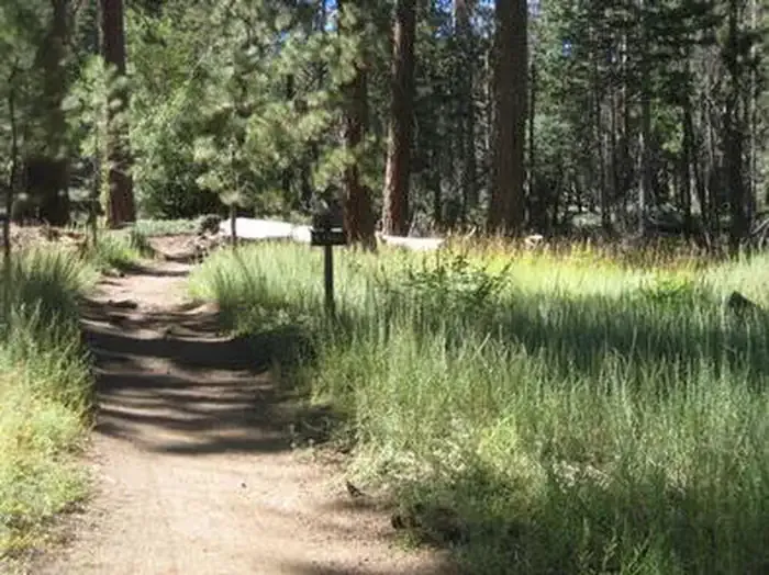
Campground · 0.3 mi from the trail
 Photo: mjhbower, CC BY-SA 2.0 (via Flickr)
Alert in the area
The Forest Service lists 7 alerts for Angeles National Forest.
Rincon-Redbox Road (2N24) Closure
Agency alert covering Angeles National Forest · Order 05-01-26-13 · USFS · Angeles National Forest
Fire Danger Level Elevated to "Very High"
Agency alert covering Angeles National Forest · USFS · Angeles National Forest
San Gabriel Canyon OHV Area Prohibitions
Agency alert covering Angeles National Forest · Order 05-01-26-09 · USFS · Angeles National Forest
San Dimas Experimental Forest Closure
Agency alert covering Angeles National Forest · USFS · Angeles National Forest
Eaton Fire Area Closure
Agency alert covering Angeles National Forest · Order 05-01-26-04 · USFS · Angeles National Forest
As of · Source: USFS · Angeles National Forest. Agencies don't list every closure — check before you go.
Mt. Islip Trail is an easy, out-and-back hike of about 2.1 miles in the San Gabriel Mountains National Monument Ranger District of Angeles National Forest in California. The trail gains about 668 feet in elevation, rising from a low point of 7,560 feet to a high point of 8,252 feet. The Forest Service manages the land, and the route is open year round. The trail is natural surfaced, and bikes are allowed. That makes it an option for riders as well as hikers. Little Jimmy campground sits just 0.3 miles away, and Big Cienega Trail is 0.5 miles off. South Hawkins Trail is 0.8 miles away. For climbers, Crystal Lake Wall is 1.4 miles from the trail.
Little Jimmy
Campground
Warming Hut
Restaurant
 If it rainsBoothsift, CC BY-SA 4.0 · Wikimedia Commons
Places © OpenStreetMap contributors · Photos: Boothsift, CC BY-SA 4.0 (commons)
More in Acton Big Cienega TrailHikingPhoto: mjhbower, CC BY-SA 2.0 (via Flickr)0.5 miSouth Hawkins TrailHikingPhoto: mjhbower, CC BY-SA 2.0 (via Flickr)0.8 mi
 Deer Group CampCampingPhoto: Recreation.gov (RIDB) / public domain0.9 mi
 San Gabriel RiverCanoeingPhoto: Emarateyya, Muna Al Zaabi, CC BY-SA 3.0 (via Wikimedia Commons)8.1 mi
Source: Roamze catalog (indexable pages within 10 miles, PostGIS distance)
Big Cienega TrailHiking · Next doorPhoto: mjhbower, CC BY-SA 2.0 (via Flickr)South Hawkins TrailHiking · ~1 min drivePhoto: mjhbower, CC BY-SA 2.0 (via Flickr)Sunset RidgeHiking · ~1 min drivePhoto: mjhbower, CC BY-SA 2.0 (via Flickr) South Fork TrailHiking · ~3 min drivePhoto: Alfa117, CC BY-SA 3.0 (via Wikimedia Commons)
 Half Knob TrailHiking · ~2 min drivePhoto: jesse?, CC BY 2.0 (via Flickr)LOST RIDGE TRAILHiking · ~2 min drivePhoto: mjhbower, CC BY-SA 2.0 (via Flickr)Islip Ridge TrailHiking · ~3 min drivePhoto: jesse?, CC BY 2.0 (via Flickr)
 Tototngna TrailHiking · ~2 min drivePhoto: jvoves, CC BY 2.0 (via Flickr)
 Bear Creek TrailHiking · ~7 min drivePhoto: Eeekster, CC BY-SA 3.0 (via Wikimedia Commons)
 Hawkins Ridge TrailHiking · ~2 min drivePhoto: mjhbower, CC BY-SA 2.0 (via Flickr)
Also worth it near here
Season: Year-round.
About 2.1 mi round trip.
About 668 ft of climbing round trip.
It is rated easy.
Year-round.
2: Mt. Islip Trail and Islip Ridge Trail.
Daily highs and lows, wind and the chance of precipitation at the summit and route start for the next 7 days, from the Open-Meteo model.


