Lake of the Woods
- Jun–Aug
- best months
Is Lake of the Woods open right now?
Alert in the area
The Forest Service lists an alert for Tahoe National Forest.
Camping and Campfire Restrictions-Truckee and Sierraville Districts
Agency alert covering Tahoe National Forest · Order 17-25-05 · USFS · Tahoe National Forest
As of · Source: USFS · Tahoe National Forest. Agencies don't list every closure — check before you go.
- At 7,415 ft
- Sierraville Ranger DistrictTahoe National Forest
Lake of the Woods is a small lake that is popular on weekends. There are approximately 15 camping spots with fire pits and picnic tables situated along the shoreline. There is no piped water available. This lake generally opens later in the spring as it sits at a high elevation and takes longer for winter snows to melt to gain access. Camping is free and on a first come - first served basis. The lake has both public and private property. Fire restrictions may be different depending on whether you are on the public Forest Service campground or the private property.
- Mount Lola TrailHiking3.9 mi
 BALD RIDGE LOOPHikingPhoto: Matthew Rhodes, CC0 (via Wikimedia Commons)4.2 mi
- Mt. LolaHiking4.5 mi
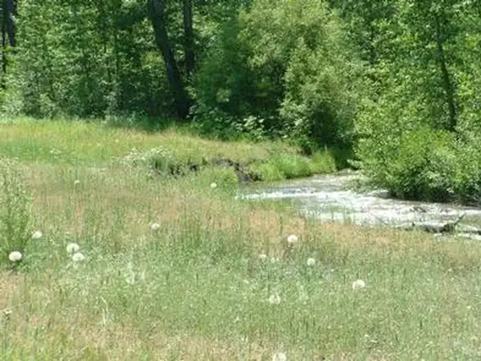 Cold CreekCampingPhoto: Recreation.gov (RIDB) / public domain4.9 mi
- Cold StreamCanoeing4.9 mi
- CottonwoodCamping4.9 mi
 Little Truckee RiverCanoeingPhoto: tomhilton, CC BY 2.0 (via Wikimedia Commons)5 mi
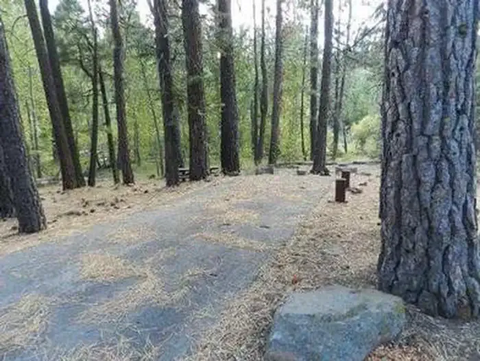 Cottonwood CreekCampingPhoto: Recreation.gov (RIDB) / public domain5.1 mi
Source: Roamze catalog (indexable pages within 10 miles, PostGIS distance)
- Cold CreekCamping · ~8 min drive
- Peter Grubb HutHut camping · ~16 min drive
- Cottonwood CreekCamping · ~9 min drive
- Frog Lake Backcountry HutsHut camping · ~17 min drive
- Upper Little TruckeeCamping · ~13 min drive
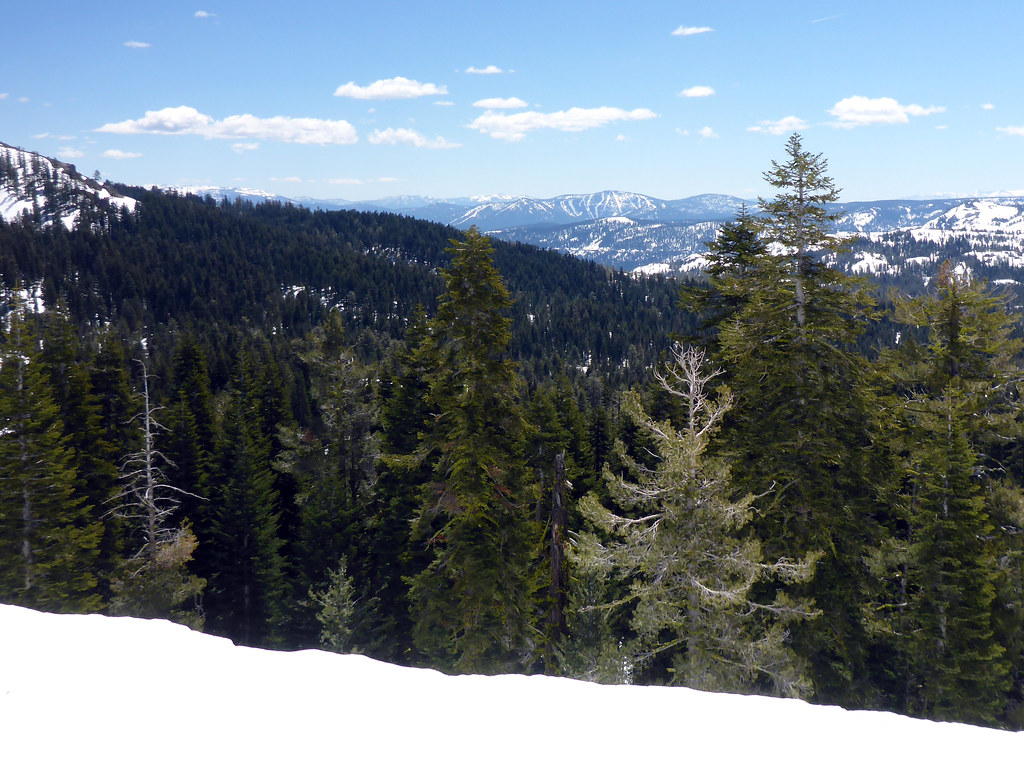 Castle PeakCamping · ~17 min drivePhoto: simonov — CC BY-SA 2.0 (via Flickr)
- Mosquito Meadow CampCamping · ~4 min drive
- Nichols CreekCamping · ~7 min drive
- CottonwoodCamping · ~8 min drive
- White RockCamping · ~10 min drive
Best time to visit Lake of the Woods
Best months: June–August. Best months have typical highs of 55–85 °F, lows of 30 °F or warmer (32 °F where the station doesn't record snow), at most one snowy day and no more than 12 wet days.
Jan
40° / 15°
Feb
41° / 15°
Mar
48° / 19°
Apr
53° / 22°
May
62° / 28°
Jun
72° / 32°
Jul
80° / 37°
Aug
79° / 35°
Sep
73° / 31°
Oct
61° / 24°
Nov
49° / 20°
Dec
39° / 14°
Typical high / low (°F) and days with rain or snow, 1991–2020. Measured at Sagehen Creek, CA, 9.4 mi away at 6,337 ft. The station sits about 1,100 ft lower than this place, so expect it a little cooler here. This station doesn't record snowfall. Source: NOAA NCEI U.S. Climate Normals 1991–2020.
