Hike and Bike Campsite
- Yes
- fee
- Apr–Jun, Sep–Oct
- best months
Is Hike and Bike Campsite open right now?
Closure in the area
There's a closure order in Lassen National Forest. It doesn't name Hike and Bike Campsite, so check the source for the area it covers (3 listed).
Harmful Algal Blooms
Agency closure covering Lassen National Forest · USFS · Lassen National Forest
Forest Road Closure Order
Agency closure covering Lassen National Forest · Order 06-26-01 · USFS · Lassen National Forest
SAFETY ALERT - South Antelope Bridge out, Do Not Cross
Agency closure covering Lassen National Forest · USFS · Lassen National Forest
As of · Source: USFS · Lassen National Forest. Agencies don't list every closure — check before you go.
- At 2,901 ft
- Hat Creek Ranger DistrictMcArthur-Burney Falls Memorial State Park · Lassen National Forest
Hike and Bike Campsite is a campground in California at about 2,901 feet. It is managed by the state park agency.
 Pioneer Cemetery TrailHikingPhoto: Don Graham from Redlands, CA, USA - God bless it!, CC BY-SA 2.0 (via Wikimedia Commons)0.1 mi
 McArthur-Burney Falls Memorial State ParkState parkPhoto: Agreene12, CC BY 3.0 (via Wikimedia Commons)0.5 mi
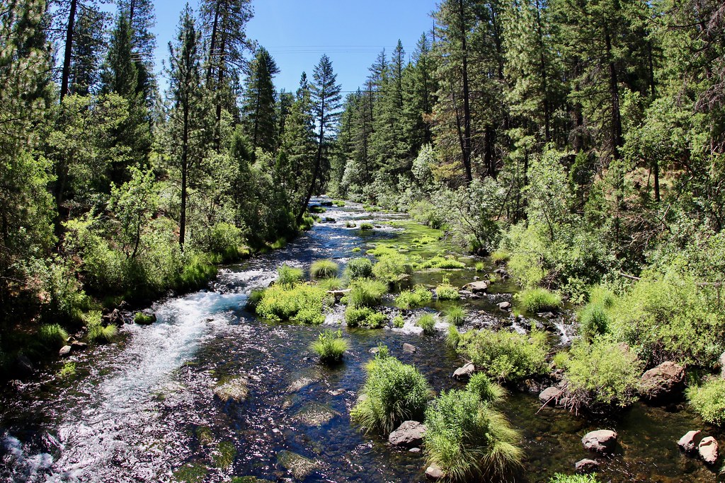 Headwaters TrailHikingPhoto: daveynin, CC BY 2.0 (via Flickr)0.6 mi
 Burney FallsWaterfallPhoto: Dvortygirl, CC BY-SA 3.0 (via Wikimedia Commons)0.6 mi
- Fort MountainSummit4.4 mi
- Rock CreekCanoeing6 mi
- Pit River CampgroundCamping7.3 mi
- Ruling Creek CampgroundCamping7.5 mi
Source: Roamze catalog (indexable pages within 10 miles, PostGIS distance)
- Camp 4 Group CampgroundCamping · ~40 min drive
- Hat CreekCamping · ~45 min drive
- North Shore CampgroundCamping · ~2 min drive
- DustyCamping · ~3 min drive
- Pit River CampgroundCamping · ~13 min drive
- Ruling Creek CampgroundCamping · ~13 min drive
- Intermountain Fair RV ParkCamping · ~22 min drive
- Deadlun Cg-F Frec LicCamping · ~30 min drive
- Iron Canyon WestCamping · ~31 min drive
- Honn CreekCamping · ~31 min drive
Also worth it near here
- Pioneer Cemetery TrailHiking · Next doorPhoto: Don Graham from Redlands, CA, USA - God bless it!, CC BY-SA 2.0 (via Wikimedia Commons)
- Burney FallsWaterfall · ~1 min drivePhoto: Dvortygirl, CC BY-SA 3.0 (via Wikimedia Commons)
 Burney MountainSummit · ~25 min drivePhoto: Ixfd64, CC BY-SA 4.0 (via Wikimedia Commons)
Best time to visit Hike and Bike Campsite
Best months: April–June and September–October. Best months have typical highs of 55–85 °F, lows of 30 °F or warmer (32 °F where the station doesn't record snow), at most one snowy day and no more than 12 wet days.
Jan
48° / 22°
12 wet · 1 snow
Feb
53° / 24°
11 wet · 1 snow
Mar
58° / 28°
11 wet · 1 snow
Apr
64° / 32°
9 wet
May
74° / 38°
7 wet
Jun
82° / 43°
4 wet
Jul
91° / 47°
1 wet
Aug
91° / 44°
1 wet
Sep
85° / 38°
2 wet
Oct
71° / 30°
5 wet
Nov
56° / 26°
9 wet
Dec
46° / 22°
12 wet · 1 snow
Typical high / low (°F) and days with rain or snow, 1991–2020. Measured at Hat Creek, CA, 7.9 mi away at 3,015 ft. Source: NOAA NCEI U.S. Climate Normals 1991–2020.
Map and trail data © OpenStreetMap contributors
