Burney Mountain
 Photo: Ixfd64, CC BY-SA 4.0 (via Wikimedia Commons)
- 7,863 ft
- summit
- Forest Service
- managed by
Is Burney Mountain open right now?
Closure in the area
There's a closure order in Lassen National Forest. It doesn't name Burney Mountain, so check the source for the area it covers (3 listed).
Harmful Algal Blooms
Agency closure covering Lassen National Forest · USFS · Lassen National Forest
Forest Road Closure Order
Agency closure covering Lassen National Forest · Order 06-26-01 · USFS · Lassen National Forest
SAFETY ALERT - South Antelope Bridge out, Do Not Cross
Agency closure covering Lassen National Forest · USFS · Lassen National Forest
As of · Source: USFS · Lassen National Forest. Agencies don't list every closure — check before you go.
Burney Mountain is a summit of about 7,863 feet in Shasta County, California, within the Hat Creek Ranger District of Lassen National Forest. The Forest Service manages the land, and the nearest town is Burney, about 6 miles away. Nearby, the Cypress hike and Burney Creek paddling route are each under 5 miles away. Magee Lake and the Honn Creek campground are both within about 7 miles.
Conditions and forecast
Daily highs and lows, wind and the chance of precipitation at the summit for the next 7 days, from the Open-Meteo model.
- Summit elevation
- 7,863 ft
- Land manager
- Forest Service
Elevation from USGS 3D Elevation Program terrain data (about 10 m resolution).
We don't know of a mapped trail or route to the summit of Burney Mountain. Plan the approach with local maps, a guidebook or a local guide, and check conditions before you go.
Questions about Burney Mountain
How tall is Burney Mountain?
7,863 ft (2,397 m).
Is there a trail to the top of Burney Mountain?
We don't know of a mapped trail or route to the summit. Plan the approach with local maps, a guidebook or a local guide.
- Magee Peak8,550 ft · California1 route8.1 mi away
- Fort Mountain4,864 ft · California1 route18 mi away
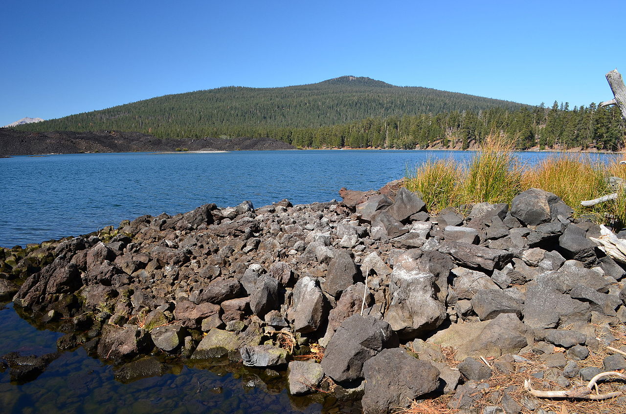 Prospect Peak8,341 ft · California1 route22 mi awayPhoto: LassenNPS, Public domain (via Wikimedia Commons)
 Lassen Peak10,450 ft · California1 route23 mi awayPhoto: Frank Schulenburg, CC BY-SA 4.0 (via Wikimedia Commons)
 Cinder Cone6,909 ft · California3 routes24 mi awayPhoto: DimiTalen, CC BY-SA 3.0 (via Wikimedia Commons)
 Brokeoff Mountain9,236 ft · California1 route25 mi awayPhoto: LassenNPS, Public domain (via Wikimedia Commons)
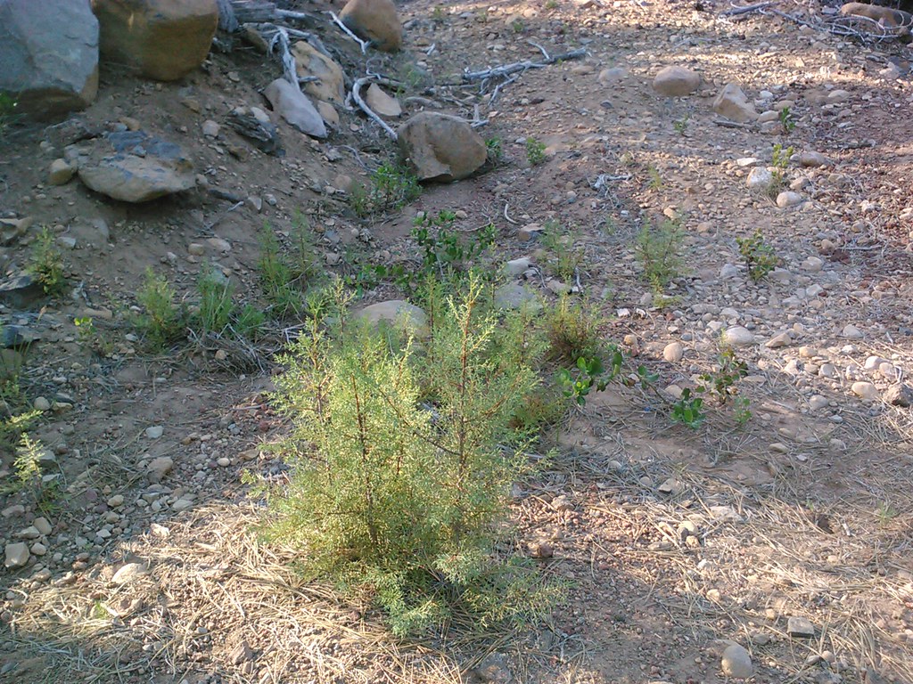 CypressHikingPhoto: theforestprimeval, CC BY-SA 2.0 (via Flickr)4.8 mi
- Burney CreekCanoeing4.9 mi
- Magee LakeHiking5.9 mi
- Tamarack Magee TieHiking6.1 mi
- Lake EilerHiking6.5 mi
- Honn CreekCamping6.8 mi
- TamarackHiking8.1 mi
- Magee PeakHiking8.2 mi
Source: Roamze catalog (indexable pages within 10 miles, PostGIS distance)
 Badger MountainSummit · ~33 min drivePhoto: Clyde Charles Brown, CC BY-SA 4.0 (via Wikimedia Commons)
 Chaos CragsSummit · ~35 min drivePhoto: CC BY 2.5 (via Wikimedia Commons)
- Prospect PeakSummit · ~38 min drivePhoto: LassenNPS, Public domain (via Wikimedia Commons)
- Lassen PeakSummit · ~39 min drivePhoto: Frank Schulenburg, CC BY-SA 4.0 (via Wikimedia Commons)
 Pilot PinnacleSummit · ~41 min drivePhoto: LassenNPS, Public domain (via Wikimedia Commons)
- Cinder ConeSummit · ~41 min drivePhoto: DimiTalen, CC BY-SA 3.0 (via Wikimedia Commons)
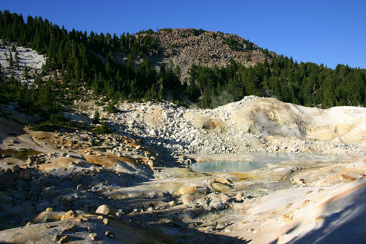 Bumpass MountainSummit · ~43 min drivePhoto: Genista Kai Schreiber, CC BY-SA 2.0 (via Wikimedia Commons)
- Brokeoff MountainSummit · ~43 min drivePhoto: LassenNPS, Public domain (via Wikimedia Commons)
 Mount HarknessSummit · ~53 min drivePhoto: LassenNPS, Public domain (via Wikimedia Commons)
 Dow ButteSummit · ~1h 12m drivePhoto: Clyde Charles Brown, CC BY-SA 4.0 (via Wikimedia Commons)
