Pioneer Cemetery Trail
 Photo: Don Graham from Redlands, CA, USA - God bless it!, CC BY-SA 2.0 (via Wikimedia Commons)
- 0.4 mi
- round trip
- 89 ft
- climb
- 2,931 ft
- high point
- Out and back
- route
- Apr–Jun, Sep–Oct
- best months
Is Pioneer Cemetery Trail open right now?
Closure in the area
There's a closure order in Lassen National Forest. It doesn't name Pioneer Cemetery Trail, so check the source for the area it covers (3 listed).
Harmful Algal Blooms
Agency closure covering Lassen National Forest · USFS · Lassen National Forest
Forest Road Closure Order
Agency closure covering Lassen National Forest · Order 06-26-01 · USFS · Lassen National Forest
SAFETY ALERT - South Antelope Bridge out, Do Not Cross
Agency closure covering Lassen National Forest · USFS · Lassen National Forest
As of · Source: USFS · Lassen National Forest. Agencies don't list every closure — check before you go.
Pioneer Cemetery Trail is a short, easy out-and-back hike in McArthur-Burney Falls Memorial State Park in California, set within the Hat Creek Ranger District of Lassen National Forest. The trail starts at about 2,931 feet and reaches a high point of 2,931 feet, with a total elevation gain of 89 feet, which makes it a nearly flat walk with only a small climb in the first third of the route. The trip covers 0.74 miles, and you can expect to spend about half an hour on the trail. The most comfortable months for a visit are late spring and early fall. Typical averages from a nearby weather station at Hat Creek show May highs around 74°F and September highs around 85°F, while July and August average about 91°F. Several other trails lie close by. Headwaters Trail is about half a mile away, and Burney Creek Trail and Rim Trail are each about 0.7 miles off. Ruling Creek Campground is roughly 7.4 miles away and offers a place to stay overnight.
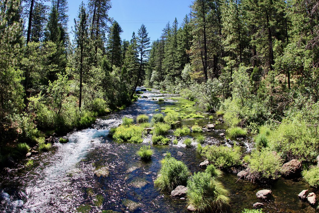 Headwaters TrailHikingPhoto: daveynin, CC BY 2.0 (via Flickr)0.5 mi
- Burney Creek TrailHikingPhoto: Don Graham from Redlands, CA, USA - God bless it!, CC BY-SA 2.0 (via Wikimedia Commons)0.7 mi
- Rim TrailHikingPhoto: Don Graham from Redlands, CA, USA - God bless it!, CC BY-SA 2.0 (via Wikimedia Commons)0.7 mi
- Fort MountainHiking4.6 mi
- Black Ranch ConnectorHiking5.8 mi
- Rock CreekCanoeing5.9 mi
- Ruling Creek CampgroundCamping7.4 mi
- Pit River CampgroundCamping7.4 mi
Source: Roamze catalog (indexable pages within 10 miles, PostGIS distance)
- Headwaters TrailHiking · Next doorPhoto: daveynin, CC BY 2.0 (via Flickr)
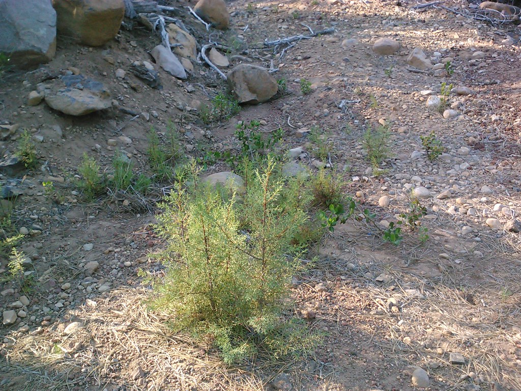 CypressHiking · ~33 min drivePhoto: theforestprimeval, CC BY-SA 2.0 (via Flickr)
 NORTH BATTLE CREEKHiking · ~50 min drivePhoto: Brück & Sohn Kunstverlag Meißen, CC0 (via Wikimedia Commons)
 Hat Creek Fisherman's TrailHiking · ~39 min drivePhoto: BoltSnypr, CC BY 3.0 (via Wikimedia Commons)
- Potato Butte 6Hiking · ~46 min drive
- Rim TrailHiking · ~1 min drivePhoto: Don Graham from Redlands, CA, USA - God bless it!, CC BY-SA 2.0 (via Wikimedia Commons)
 PARHAM'S POINT TRAILHiking · ~43 min drivePhoto: BoltSnypr, CC BY 3.0 (via Wikimedia Commons)
- StumpHiking · ~27 min drive
- Great Shasta Rail Trail: Burney BranchHiking · ~21 min drive
- Burney Creek TrailHiking · ~1 min drivePhoto: Don Graham from Redlands, CA, USA - God bless it!, CC BY-SA 2.0 (via Wikimedia Commons)
Also worth it near here
 Burney FallsWaterfall · Next doorPhoto: Dvortygirl, CC BY-SA 3.0 (via Wikimedia Commons)
- Pit River CampgroundPier fishing · ~13 min drive
 Burney MountainSummit · ~25 min drivePhoto: Ixfd64, CC BY-SA 4.0 (via Wikimedia Commons)
 Pit RiverCanoeing · ~28 min drivePhoto: Robert F. Ettner, Natural Resources Staff Officer, Siskiyou National Forest, US Forest Service, Public domain (via Wikimedia Commons)
Best time to visit Pioneer Cemetery Trail
Best months: April–June and September–October. Best months have typical highs of 55–85 °F, lows of 30 °F or warmer (32 °F where the station doesn't record snow), at most one snowy day and no more than 12 wet days.
Jan
48° / 22°
12 wet · 1 snow
Feb
53° / 24°
11 wet · 1 snow
Mar
58° / 28°
11 wet · 1 snow
Apr
64° / 32°
9 wet
May
74° / 38°
7 wet
Jun
82° / 43°
4 wet
Jul
91° / 47°
1 wet
Aug
91° / 44°
1 wet
Sep
85° / 38°
2 wet
Oct
71° / 30°
5 wet
Nov
56° / 26°
9 wet
Dec
46° / 22°
12 wet · 1 snow
Typical high / low (°F) and days with rain or snow, 1991–2020. Measured at Hat Creek, CA, 8 mi away at 3,015 ft. Source: NOAA NCEI U.S. Climate Normals 1991–2020.
Map and trail data © OpenStreetMap contributors
