Firebaugh 7x Ranch Campground
- Jan–Dec
- best months
- At 1,367 ft
Firebaugh 7x Ranch Campground is a campground in California at about 1,367 feet.
- Cinnabar Rock TrailHiking5.7 mi
- One Shot: Brandon Semenuk's unReal SegmentMountain biking6.5 mi
- Eagle RockSummit6.7 mi
- Town Creek Truck TrailHiking7.4 mi
- Rocky Butte Truck TrailHiking7.9 mi
- Paso Robles CreekCanoeing9.7 mi
Source: Roamze catalog (indexable pages within 10 miles, PostGIS distance)
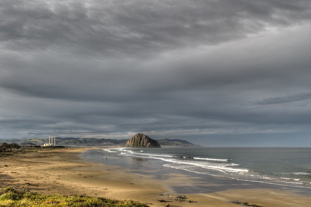 Morro Strand State Beach CampgroundCamping · ~25 min drivePhoto: Fred Moore 1947 — CC BY 2.0 (via Flickr)
 Morro Strand RV ParkCamping · ~27 min drivePhoto: chucknado — CC BY 2.0 (via Flickr)
 Morro Bay State Park CampgroundCamping · ~29 min drivePhoto: Tony Webster — CC BY-SA 2.0 (via Flickr)
 El Chorro Regional Park CampgroundCamping · ~37 min drivePhoto: sloalan — CC0 1.0 (via Flickr)
- Camp NatomaCamping · ~6 min drive
- Heritage Ranch CampgroundCamping · ~15 min drive
- Quails Roost CampgroundCamping · ~18 min drive
- Oak Knoll CampgroundCamping · ~18 min drive
- Rocky Canyon CampgroundCamping · ~18 min drive
- Site 4Camping · ~18 min drive
Best time to visit Firebaugh 7x Ranch Campground
Best months: Year-round. Best months have typical highs of 55–85 °F, lows of 30 °F or warmer (32 °F where the station doesn't record snow), at most one snowy day and no more than 12 wet days.
Jan
60° / 47°
8 wet
Feb
60° / 45°
8 wet
Mar
62° / 47°
8 wet
Apr
65° / 47°
5 wet
May
69° / 52°
2 wet
Jun
73° / 55°
1 wet
Jul
75° / 57°
0 wet
Aug
77° / 58°
0 wet
Sep
78° / 60°
1 wet
Oct
74° / 56°
3 wet
Nov
66° / 50°
5 wet
Dec
59° / 46°
8 wet
Typical high / low (°F) and days with rain or snow, 1991–2020. Measured at Hearst Castle, CA, 15.2 mi away at 1,526 ft. Source: NOAA NCEI U.S. Climate Normals 1991–2020.
Map and trail data © OpenStreetMap contributors
