Camp Williams
- Oct–Jun
- best months
Is Camp Williams open right now?
Alert in the area
The Forest Service lists 7 alerts for Angeles National Forest.
Rincon-Redbox Road (2N24) Closure
Agency alert covering Angeles National Forest · Order 05-01-26-13 · USFS · Angeles National Forest
Fire Danger Level Elevated to "Very High"
Agency alert covering Angeles National Forest · USFS · Angeles National Forest
San Gabriel Canyon OHV Area Prohibitions
Agency alert covering Angeles National Forest · Order 05-01-26-09 · USFS · Angeles National Forest
San Dimas Experimental Forest Closure
Agency alert covering Angeles National Forest · USFS · Angeles National Forest
Eaton Fire Area Closure
Agency alert covering Angeles National Forest · Order 05-01-26-04 · USFS · Angeles National Forest
As of · Source: USFS · Angeles National Forest. Agencies don't list every closure — check before you go.
- At 1,719 ft
- San Gabriel Mountains National Monument Ranger DistrictAngeles National Forest · San Gabriel Mountains National Monument
Camp Williams is a campground in California at about 1,719 feet. It is managed by the U.S. Forest Service.
- Graveyard Canyon TrailHiking1.5 mi
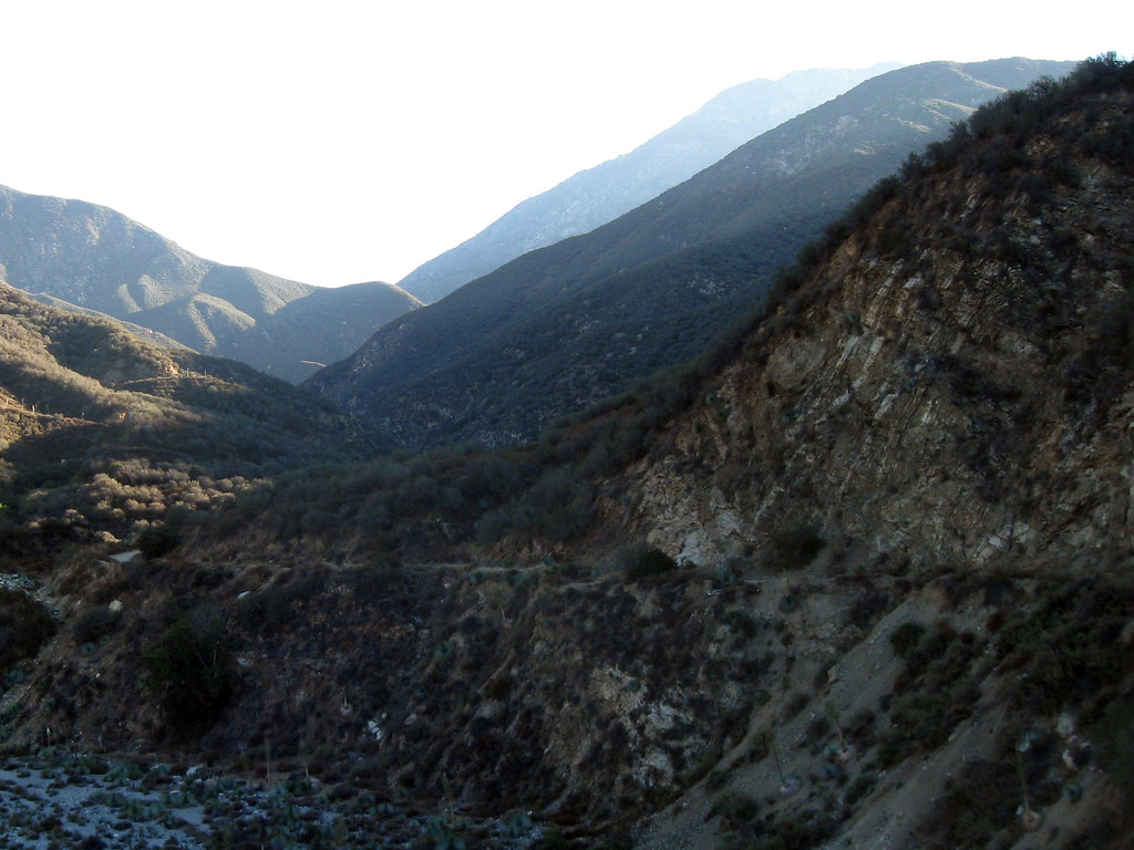 East Fork TrailHikingPhoto: simonov, CC BY-SA 2.0 (via Flickr)1.6 mi
 San Gabriel RiverCanoeingPhoto: Emarateyya, Muna Al Zaabi, CC BY-SA 3.0 (via Wikimedia Commons)1.6 mi
- Rattlesnake PeakSummit2.9 mi
- Chamisal MesaSummit3.9 mi
- Wolfskill FallsWaterfall4.5 mi
- Coldbrook CampgroundCamping5 mi
- Big Dalton Wilderness ParkState park5.2 mi
Source: Roamze catalog (indexable pages within 10 miles, PostGIS distance)
- Deer Group CampCamping · ~13 min drive
- Mountain OakCamping · ~20 min drive
- Coldbrook CampgroundCamping · ~9 min drive
- Iron Fork CampCamping · ~9 min drive
- Big Dalton CampgroundCamping · ~9 min drive
- Lower Bear CynCamping · ~9 min drive
- Crystal LakeCamping · ~12 min drive
- Deer FlatCamping · ~13 min drive
- Deer SpringCamping · ~13 min drive
- Little JimmyCamping · ~14 min drive
Also worth it near here
Best time to visit Camp Williams
Best months: October–June. Best months have typical highs of 55–85 °F, lows of 30 °F or warmer (32 °F where the station doesn't record snow), at most one snowy day and no more than 12 wet days.
Jan
68° / 43°
5 wet
Feb
67° / 45°
6 wet
Mar
72° / 47°
4 wet
Apr
76° / 50°
2 wet
May
78° / 54°
1 wet
Jun
84° / 57°
0 wet
Jul
90° / 62°
0 wet
Aug
92° / 63°
0 wet
Sep
89° / 60°
1 wet
Oct
80° / 54°
3 wet
Nov
73° / 47°
4 wet
Dec
67° / 42°
5 wet
Typical high / low (°F) and days with rain or snow, 1991–2020. Measured at Pomona/Fairplex, CA, 10.5 mi away at 999 ft. The station sits about 700 ft lower than this place, so expect it a little cooler here. Source: NOAA NCEI U.S. Climate Normals 1991–2020.
Map and trail data © OpenStreetMap contributors
