Ozone Cg
Campground
Campground · 12 mi from the trail
Closure in the area
There's a closure order in Ozark-St. Francis National Forest. It doesn't name Ratford, so check the source for the area it covers (9 listed).
Ozark Highlands Trail Access During ARDOT Hwy 123 Big Piney Creek Bridge Reconstruction
Agency closure covering Ozark-St. Francis National Forest · USFS · Ozark-St. Francis National Forest
Wildfire Risk Increases in Arkansas and Oklahoma
Agency closure covering Ozark-St. Francis National Forest · USFS · Ozark-St. Francis National Forest
Spring Lake Recreation Area Closed For Rest of 2026 Season
Agency closure covering Ozark-St. Francis National Forest · USFS · Ozark-St. Francis National Forest
Lake Wedington Recreation Area Water Line Project
Agency closure covering Ozark-St. Francis National Forest · USFS · Ozark-St. Francis National Forest
Morgan Mtn Rd Partially Closed for Road Repair
Agency closure covering Ozark-St. Francis National Forest · USFS · Ozark-St. Francis National Forest
As of · Source: USFS · Ozark-St. Francis National Forest. Agencies don't list every closure — check before you go.
Ratford is an easy loop hike in the Pleasant Hill Ranger District of Arkansas's Ozark-St. Francis National Forest, about 2.25 miles long with a total climb of 210 feet. It sits at roughly 2,250 feet, rising to a high point of about 2,340 feet, and is a short outing that fits into a longer day on the trail network. Spring and fall are the most comfortable times to go. Typical averages from a nearby weather station show May highs around 72°F and October highs around 67°F, with lows in the 50s. The trail is on natural surface and is not accessible. Bikes and horses are not allowed. Several other trails lie close by. South Bench Trail is about 1.2 miles away, Azalea Falls Trail and Twisted Hickory Trail are each about 1.5 miles off, and the Mulberry River, about 10 miles away, offers paddling.
Ozone Cg
Campground
The Lodge
Restaurant
Tim Ernst Canvas Gallery
Gallery
Places © OpenStreetMap contributors
More in JasperNot on Roamze yet. Their page has how to reach them.
Best months: March–November. Best months have typical highs of 55–85 °F, lows of 30 °F or warmer (32 °F where the station doesn't record snow), at most one snowy day and no more than 12 wet days.
Jan
43° / 25°
Feb
48° / 28°
Mar
57° / 35°
Apr
66° / 44°
May
72° / 54°
Jun
81° / 62°
Jul
85° / 66°
Aug
85° / 65°
Sep
78° / 59°
Oct
67° / 48°
Nov
55° / 37°
Dec
46° / 28°
Typical high / low (°F) and days with rain or snow, 1991–2020. Measured at Kingston 2s, AR, 12.6 mi away at 2,145 ft. This station doesn't record snowfall. Source: NOAA NCEI U.S. Climate Normals 1991–2020.
 Photo: Tony Webster — CC BY 2.0 (via Flickr)
Buffalo Creek Trail
~6 min drive
9.67-mile out-and-back hike in Arkansas with 480 ft gain.
 Photo: Tony Webster, CC BY-SA 2.0 (via Flickr)
Whitaker Point
~11 min drive
3.68-mile out-and-back trail in Arkansas with 789 ft gain.
 Photo: Dameon Hudson, CC BY 3.0 (via Wikimedia Commons)
Glory Hole
~13 min drive
2.03-mile out-and-back trail in Arkansas with 99 ft elevation gain.
HIKE
Ozark Highlands Trail
~26 min drive
132-mile point-to-point Ozark trail through mountains and valleys.
HIKE
Azalea Falls Trail
~3 min drive
6.90-mile out-and-back hike at Azalea Falls Trail in Arkansas with 925 ft elevation gain
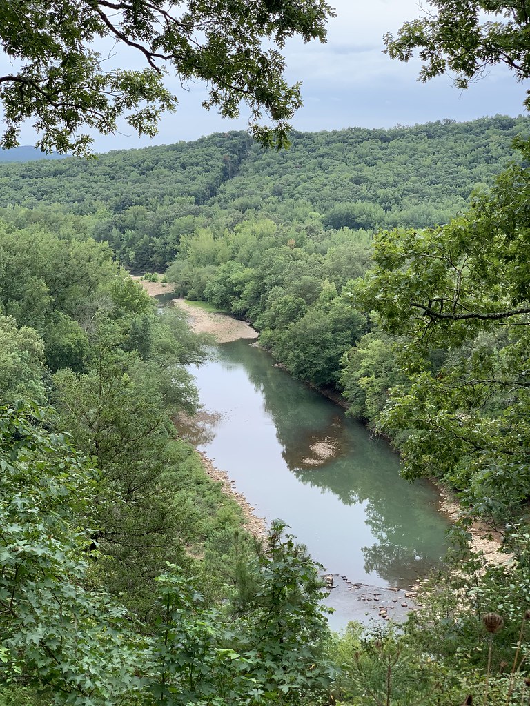 Photo: SlapTheWorld, Public Domain Dedication (CC0) (via Flickr)
Redding Loop East-Oht Spurs
~30 min drive
4.63-mile out-and-back trail in Arkansas with 1,693 ft gain.
 Photo: SlapTheWorld, Public Domain Dedication (CC0) (via Flickr)
Indian Creek Oht Spur
~24 min drive
0.49-mile out-and-back trail in Arkansas with 64 ft gain.
HIKE
MILL CREEK TRAIL BLUE LOOP
~29 min drive
27.6-mile out-and-back trail in Arkansas with 3,501 ft elevation gain/loss
HIKE
Cave Mountain Road Trail
~4 min drive
8.13-mile out-and-back hike in Arkansas with 556 ft gain.
HIKE
South Bench Trail
~2 min drive
3.79-mile out-and-back trail in Arkansas with 339 ft gain.

