Butterfield Hiking Trail
- 15.0 mi
- loop
- 1,746 ft
- climb
- 1,775 ft
- high point
- Loop
- route
- Mar–May, Sep–Nov
- best months
Is Butterfield Hiking Trail open right now?
Closure in the area
There's a closure order in Ozark-St. Francis National Forest. It doesn't name Butterfield Hiking Trail, so check the source for the area it covers (9 listed).
Ozark Highlands Trail Access During ARDOT Hwy 123 Big Piney Creek Bridge Reconstruction
Agency closure covering Ozark-St. Francis National Forest · USFS · Ozark-St. Francis National Forest
Wildfire Risk Increases in Arkansas and Oklahoma
Agency closure covering Ozark-St. Francis National Forest · USFS · Ozark-St. Francis National Forest
Spring Lake Recreation Area Closed For Rest of 2026 Season
Agency closure covering Ozark-St. Francis National Forest · USFS · Ozark-St. Francis National Forest
Lake Wedington Recreation Area Water Line Project
Agency closure covering Ozark-St. Francis National Forest · USFS · Ozark-St. Francis National Forest
Morgan Mtn Rd Partially Closed for Road Repair
Agency closure covering Ozark-St. Francis National Forest · USFS · Ozark-St. Francis National Forest
As of · Source: USFS · Ozark-St. Francis National Forest. Agencies don't list every closure — check before you go.
Butterfield Hiking Trail is a 15-mile moderate hike in the Boston Mountain Ranger District of the Ozark-St. Francis National Forest in Arkansas. It rises from about 1,000 feet to a high point of roughly 1,775 feet, with a total elevation gain of 1,746 feet and a loss of about 2,258 feet over the course of the route. The trail is managed by the Forest Service, and the climb is steepest near mile 12, where the grade reaches about 26%. The trail is open to both horses and bikes, so it works for riders and equestrians as well as hikers. A typical hike takes about six hours. Spring and fall are the most comfortable times to go. Typical averages from a nearby weather station run from highs near 72°F in April to about 74°F in October. That station sits about 1,000 feet below the trail, so temperatures on the route run cooler. Several shorter hikes sit within about two miles of the trail, including the Easy Pine Outer Loop West, Easy Pine Loop East and the West Outer Loop. Lee Creek, a canoeing spot, is about 2.5 miles away.
Best time to go · Mar–May, Sep–Nov
Best time to visit Butterfield Hiking Trail
Best months: March–May and September–November. Best months have typical highs of 55–85 °F, lows of 30 °F or warmer (32 °F where the station doesn't record snow), at most one snowy day and no more than 12 wet days.
Jan
49° / 26°
8 wet
Feb
54° / 29°
7 wet
Mar
63° / 37°
9 wet
Apr
72° / 46°
9 wet
May
79° / 55°
10 wet
Jun
87° / 64°
9 wet
Jul
92° / 67°
8 wet
Aug
91° / 66°
7 wet
Sep
84° / 58°
7 wet
Oct
74° / 47°
8 wet
Nov
61° / 36°
8 wet
Dec
52° / 29°
8 wet
Typical high / low (°F) and days with rain or snow, 1991–2020. Measured at Mountainburg 2 Ne, AR, 9.3 mi away at 793 ft. The station sits about 1,000 ft lower than this place, so expect it a little cooler here. Source: NOAA NCEI U.S. Climate Normals 1991–2020.
Keep exploring — more trails worth the drive
 Photo: adam*b, CC BY 2.0 (via Flickr)
Devil's Den Trail
~7 min drive
0.88-mile loop trail in Arkansas with 458 ft elevation gain.
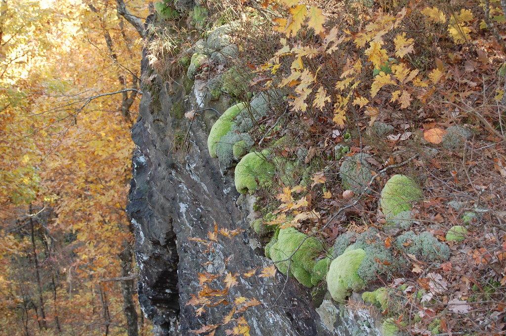 Photo: adam*b, CC BY 2.0 (via Flickr)
Ozark Highlands Trail
~33 min drive
Arkansas's premier 201-mile Ozark Mountains long-distance hiking trail.
HIKE
BRADFORD EAST OUTER LOOP
~4 min drive
16.72-mile loop trail in Arkansas with 2,663 ft elevation gain.
HIKE
Western Don
~44 min drive
13.03-mile loop trail in Arkansas with 624 ft elevation gain.
Photo: adam*b, CC BY 2.0 (via Flickr)Butterfield Hiking Trail
~7 min drive
1.27-mile out-and-back hike in Arkansas with 318 ft elevation gain.
HIKE
WEST OUTER LOOP SHORTCUT M
~4 min drive
4.86-mile out-and-back trail in Arkansas with 1,430 ft elevation gain and loss.
HIKE
Ozark Highlands Trail
~48 min drive
132-mile point-to-point Ozark trail through mountains and valleys.
HIKE
White Rock-Shores Lake West
~33 min drive
8.43-mile out-and-back trail to Shores Lake in Arkansas with 1,868 ft gain.
Photo: adam*b, CC BY 2.0 (via Flickr)White Rock Mtn Rim Loop
~32 min drive
1.70-mile loop with 834 ft elevation gain on White Rock Mountain in Arkansas.
HIKE
MILL CREEK BURRELL MTN LOOP
~42 min drive
5.22-mile out-and-back out-and-back with 1,574 ft elevation gain and loss in Arkansas.
Map and trail data © OpenStreetMap contributors
