Molino
Campground
The next 2 weekends are full on Recreation.gov
Closure in the area
There's a closure order in Santa Catalina Ranger District. It doesn't name Agua Caliente Hill, so check the source for the area it covers.
Marshall Gulch Closure Order
Agency closure covering Santa Catalina Ranger District · Order 03-05-05-26-009 · USFS · Santa Catalina Ranger District
Border Barrier Construction Closure
Agency alert covering Coronado National Forest · Order 03-05-00-26-011 · USFS · Coronado National Forest
No Fire Restrictions
Agency alert covering Coronado National Forest · USFS · Coronado National Forest
Barfoot Snake Closure Order 03-05-01-24-004
Agency alert covering Coronado National Forest · USFS · Coronado National Forest
As of · Source: USFS · Santa Catalina Ranger District. Agencies don't list every closure — check before you go.
Agua Caliente Hill is a mountain biking climb in Arizona's Coronado National Forest, within the Santa Catalina Ranger District. The route is about 4.5 miles long, rising from roughly 2,900 feet to about 5,370 feet, with a total elevation gain of 2,610 feet. The steepest stretch comes at about 3.9 miles, where the grade reaches 37 percent. The climb is a significant one, with the high point near 5,370 feet and the steepest section close to the top. The Forest Service manages the land, and the route starts at a low point of about 2,900 feet. The End of the Road climbing area sits just 0.4 miles away, and Main Wall is about 1.6 miles off. Gnat Tank Trail and the Sunnyside climbing area are both within about 1.7 miles. For an overnight stay, Molino Basin Group campground is about 4.3 miles away.
Molino
Campground
Wildlife Viewing Area
Viewpoint
Places © OpenStreetMap contributors
More in OracleNot on Roamze yet. Their page has how to reach them.
 MilagrosaHikingPhoto: Tanque Verde, CC BY 2.0 (via Flickr)1.8 mi
 La MilagrosaMountain bikingPhoto: Katja Schulz from Washington, D. C., USA, CC BY 2.0 (via Wikimedia Commons)2.3 mi
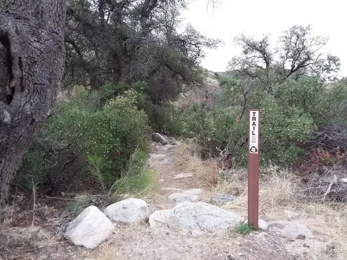 MolinoCampingPhoto: Recreation.gov (RIDB) / public domain4.3 mi
Source: Roamze catalog (indexable pages within 10 miles, PostGIS distance)
La MilagrosaMountain biking · ~2 min drivePhoto: Katja Schulz from Washington, D. C., USA, CC BY 2.0 (via Wikimedia Commons) Sabino HistoricMountain biking · ~11 min drivePhoto: Raquel Baranow from Tucson, Arizona, U$A, CC BY-SA 2.0 (via Wikimedia Commons)Sabino CreekMountain biking · ~11 min drivePhoto: Raquel Baranow from Tucson, Arizona, U$A, CC BY-SA 2.0 (via Wikimedia Commons)Sabino CanyonMountain biking · ~11 min drivePhoto: Raquel Baranow from Tucson, Arizona, U$A, CC BY-SA 2.0 (via Wikimedia Commons)
 Phioneline Link NorthMountain biking · ~12 min drivePhoto: Ken Thomas, Public domain (via Wikimedia Commons)CreekMountain biking · ~12 min drivePhoto: Ken Thomas, Public domain (via Wikimedia Commons)
 RattlesnakeMountain biking · ~13 min drivePhoto: Ken Thomas, Public domain (via Wikimedia Commons)
 Box CampMountain biking · ~14 min drivePhoto: Debbie, CC BY 2.0 (via Wikimedia Commons)Phoneline Link Trail #27AMountain biking · ~12 min drivePhoto: Ken Thomas, Public domain (via Wikimedia Commons)
Map and trail data © OpenStreetMap contributors

