Wabayuma Trail
- 1.6 mi
- round trip
- 1,613 ft
- climb
- 7,355 ft
- high point
- Out and back
- route
Clear at last check
Weather is good · OpenWeather · checked 16 h ago
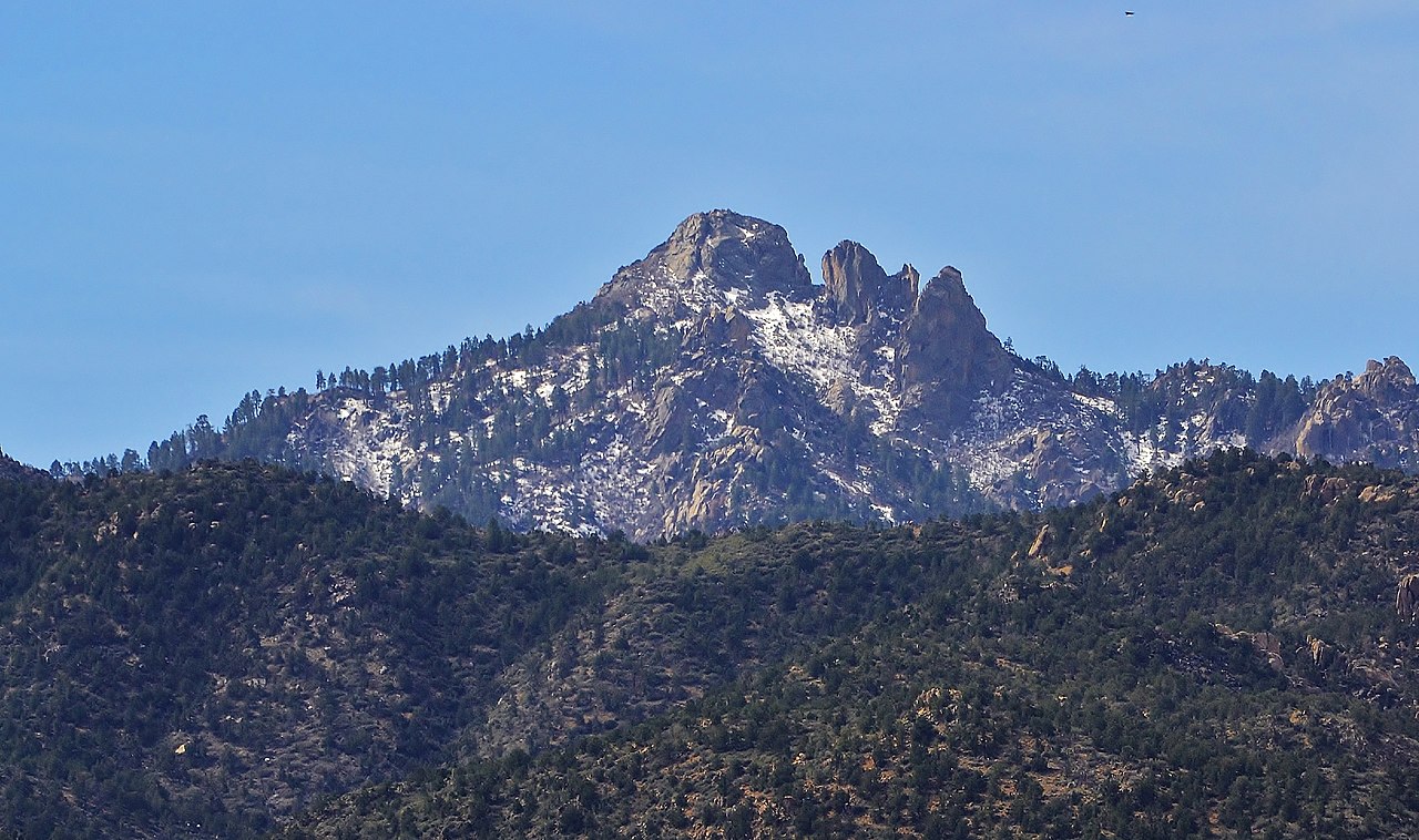
Wabayuma Trail is a 3.1-mile out-and-back hike in Arizona's Wabayuma Peak Wilderness, on Bureau of Land Management land within the Kingman Field Office. The route starts at about 6,490 feet and climbs to a high point of 7,355 feet, with a total elevation gain of 1,613 feet over the round trip. The steepest stretch comes at about mile 1.1, where the grade reaches 35 percent. The trail is rated moderate, and the round trip takes about two hours. The high point of 7,355 feet sits within the designated wilderness, and the route's length and climb make it a compact objective for a single day. Hualapai Wall, a climbing area, is about 4 miles away. Moss Wash Cutoff Trail is about 5 miles off. Wild Cow Springs Campground, roughly 7 miles out, offers a place to stay. Hayden Peak Trail is about 8 miles away.
Local outfitters
- Settlin Inn RV Park28 mi away
- Sunrise Adventures Ridgeview Resort39 mi away
Not on Roamze yet. Their page has how to reach them.
- Hualapai WallRock climbing4.2 mi
- Moss Wash Cutoff TrailHiking5 mi
 Wild Cow Springs CampgroundCampingPhoto: Recreation.gov (RIDB) / public domain7.4 mi
 Fire Evacuation FootpathHikingPhoto: On^ste82, CC BY 3.0 (via Wikimedia Commons)8.2 mi
- Hayden Peak TrailHikingPhoto: On^ste82, CC BY 3.0 (via Wikimedia Commons)8.4 mi
- Mount Tipton OverlookHikingPhoto: On^ste82, CC BY 3.0 (via Wikimedia Commons)8.7 mi
 Aspen Peak TrailHikingPhoto: Victor Solanoy, CC BY 2.0 (via Flickr)8.9 mi
 Potato Patch LoopHikingPhoto: On^ste82, CC BY 3.0 (via Wikimedia Commons)8.9 mi
Source: Roamze catalog (indexable pages within 10 miles, PostGIS distance)
- Fire Evacuation FootpathHiking · ~14 min drivePhoto: On^ste82, CC BY 3.0 (via Wikimedia Commons)
- Hayden Peak TrailHiking · ~14 min drivePhoto: On^ste82, CC BY 3.0 (via Wikimedia Commons)
- Potato Patch LoopHiking · ~15 min drivePhoto: On^ste82, CC BY 3.0 (via Wikimedia Commons)
- Mount Tipton OverlookHiking · ~15 min drivePhoto: On^ste82, CC BY 3.0 (via Wikimedia Commons)
- Aspen Peak TrailHiking · ~15 min drivePhoto: Victor Solanoy, CC BY 2.0 (via Flickr)
- Kingman TrailHiking · ~35 min drive
- Aspen Peak TrailsHiking · ~16 min drivePhoto: On^ste82, CC BY 3.0 (via Wikimedia Commons)
- East Horseback TrailHiking · ~32 min drive
 Mohave TrailHiking · ~24 min drivePhoto: Ken Lund from Reno, Nevada, USA, CC BY-SA 2.0 (via Wikimedia Commons)
 Camp Beale Loop TrailHiking · ~33 min drivePhoto: zoso8203, Public Domain Mark (via Flickr)
Also worth it near here
Map and trail data © OpenStreetMap contributors
