Aspen Peak Trails
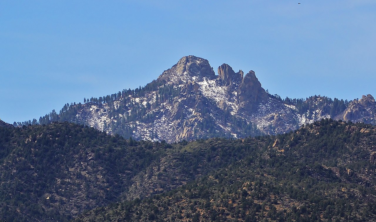
 Photo: On^ste82, CC BY 3.0 (via Wikimedia Commons)
- 0.8 mi
- round trip
- 800 ft
- climb
- 7,254 ft
- high point
- Out and back
- route
Aspen Peak Trails is an easy out-and-back hike in Arizona, about 10 miles from the town of Getz. The route is roughly 1.5 miles long, with a total climb of about 800 feet and a high point of 7,254 feet. The trail starts at about 6,819 feet and rises in rolling terrain, with the steepest stretch coming within the first quarter mile at about 19%. The climb is one way, and the round trip covers about 800 feet of gain and loss. The trail is short and rated easy, so it works well as a quick outing or a warm-up before exploring the surrounding area. The Aspen Peak Trail and the Potato Patch Loop both lie about half a mile away, and the Mount Tipton Overlook is about 1.2 miles off. For an overnight stay, Wild Cow Springs Campground is about 2.7 miles away.
Local outfitters
- Settlin Inn RV Park25 mi away
- Sunrise Adventures Ridgeview Resort38 mi away
Not on Roamze yet. Their page has how to reach them.
- Potato Patch LoopHikingPhoto: On^ste82, CC BY 3.0 (via Wikimedia Commons)0.5 mi
 Aspen Peak TrailHikingPhoto: Victor Solanoy, CC BY 2.0 (via Flickr)0.5 mi
 Mount Tipton OverlookHikingPhoto: On^ste82, CC BY 3.0 (via Wikimedia Commons)1.2 mi
- Fire Evacuation FootpathHikingPhoto: On^ste82, CC BY 3.0 (via Wikimedia Commons)1.2 mi
- Hayden Peak TrailHikingPhoto: On^ste82, CC BY 3.0 (via Wikimedia Commons)1.3 mi
- Hualapai MountainsRock climbingPhoto: On^ste82, CC BY 3.0 (via Wikimedia Commons)1.3 mi
 Wild Cow Springs CampgroundCampingPhoto: Recreation.gov (RIDB) / public domain2.7 mi
- East Buckboard TrailHiking3.6 mi
Source: Roamze catalog (indexable pages within 10 miles, PostGIS distance)
- Potato Patch LoopHiking · Next doorPhoto: On^ste82, CC BY 3.0 (via Wikimedia Commons)
- Aspen Peak TrailHiking · Next doorPhoto: Victor Solanoy, CC BY 2.0 (via Flickr)
- Mount Tipton OverlookHiking · ~2 min drivePhoto: On^ste82, CC BY 3.0 (via Wikimedia Commons)
 Badger TrailHiking · ~28 min drivePhoto: inazakira, CC BY-SA 2.0 (via Flickr)
- Hayden Peak TrailHiking · ~2 min drivePhoto: On^ste82, CC BY 3.0 (via Wikimedia Commons)
- Fire Evacuation FootpathHiking · ~2 min drivePhoto: On^ste82, CC BY 3.0 (via Wikimedia Commons)
- Castle Rock TrailHiking · ~29 min drive
- East Horseback TrailHiking · ~16 min drive
 Mohave TrailHiking · ~25 min drivePhoto: Ken Lund from Reno, Nevada, USA, CC BY-SA 2.0 (via Wikimedia Commons)
- Wabayuma TrailHiking · ~16 min drive
Also worth it near here
Map and trail data © OpenStreetMap contributors
