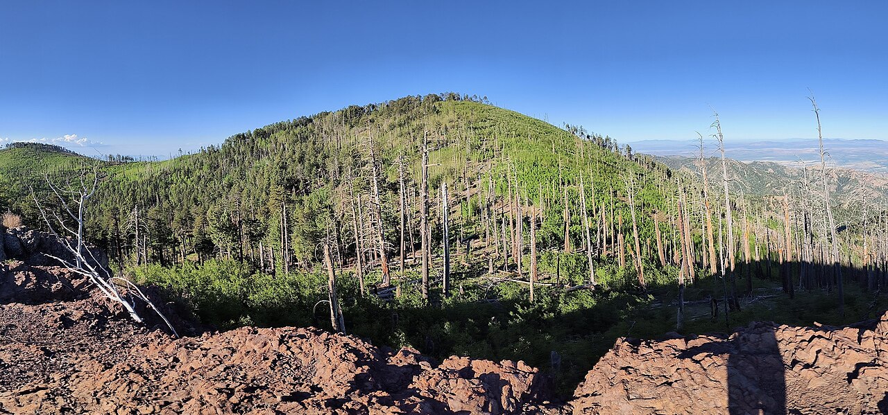
Turtle Mountain
- 4.6 mi
- round trip
- 1,529 ft
- climb
- 7,556 ft
- high point
- Out and back
- route
Caution today
Agency alerts are in effect for this area; weather is marginal · USFS, OpenWeather · checked 10 h ago
Is Turtle Mountain open right now?
Alert in the area
The Forest Service lists 3 alerts for Coronado National Forest.
Border Barrier Construction Closure
Agency alert covering Coronado National Forest · Order 03-05-00-26-011 · USFS · Coronado National Forest
No Fire Restrictions
Agency alert covering Coronado National Forest · USFS · Coronado National Forest
Barfoot Snake Closure Order 03-05-01-24-004
Agency alert covering Coronado National Forest · USFS · Coronado National Forest
As of · Source: USFS · Coronado National Forest. Agencies don't list every closure — check before you go.
Turtle Mountain is a moderate out-and-back hike in the Douglas Ranger District of Coronado National Forest in Arizona, about 4.6 miles long with a total elevation gain of 1,529 feet. The trail starts at a low point of about 6,028 feet and climbs to a high point of about 7,556 feet. The Forest Service manages the land, and the route is natural-surface, not accessible, and bikes are allowed. The trail is open year-round, and the climb is spread across the full length of the route. For a longer outing, the Rak Trail #267A lies about 0.7 miles away, and Cub Canyon and John Long are each about 1.5 miles off. Camp Rucker Group Site, about 1.9 miles away, offers a place to camp.
- Rak Trail #267AHiking0.7 mi
- Cub CanyonHiking1.5 mi
- John LongHiking1.5 mi
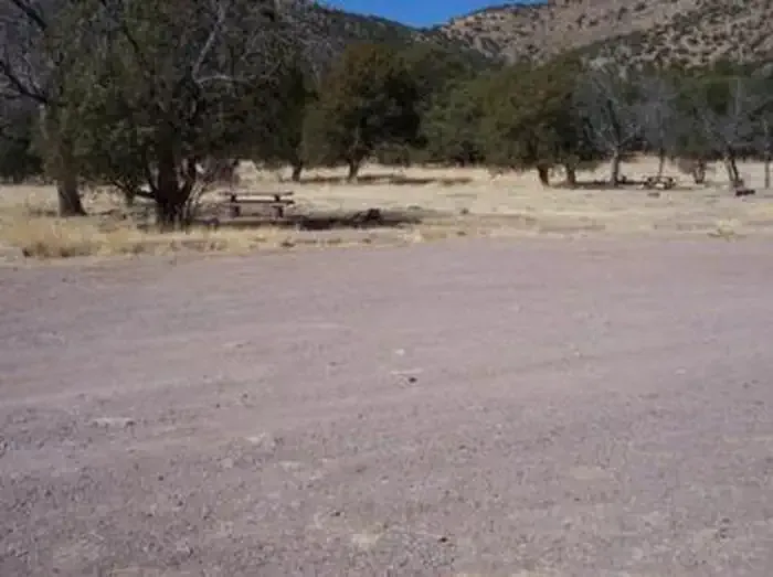 Camp Rucker Group SiteCampingPhoto: Recreation.gov (RIDB) / public domain1.9 mi
- Monte Vista Trail #221Hiking2 mi
- SycamoreCamping5.6 mi
- Herb MartyrCamping9.1 mi
- Rustler ParkCamping9.5 mi
Source: Roamze catalog (indexable pages within 10 miles, PostGIS distance)
 Rasberry Ridge Trail #228Hiking · ~4 min drivePhoto: Clay Gilliland, CC BY-SA 2.0 (via Flickr)
 Crest Trail #270DHiking · ~9 min drivePhoto: Jon Roanhaus, CC BY-SA 4.0 (via Wikimedia Commons)
- Cub CanyonHiking · ~3 min drive
- John LongHiking · ~3 min drive
- Price Canyon Trail #224Hiking · ~10 min drive
- Rak Trail #267AHiking · ~1 min drive
- Rucker PeakHiking · ~6 min drive
- Devils CanyonHiking · ~5 min drive
- SaulsburyHiking · ~10 min drive
- Turtle Mountain Trail #219Hiking · ~4 min drive